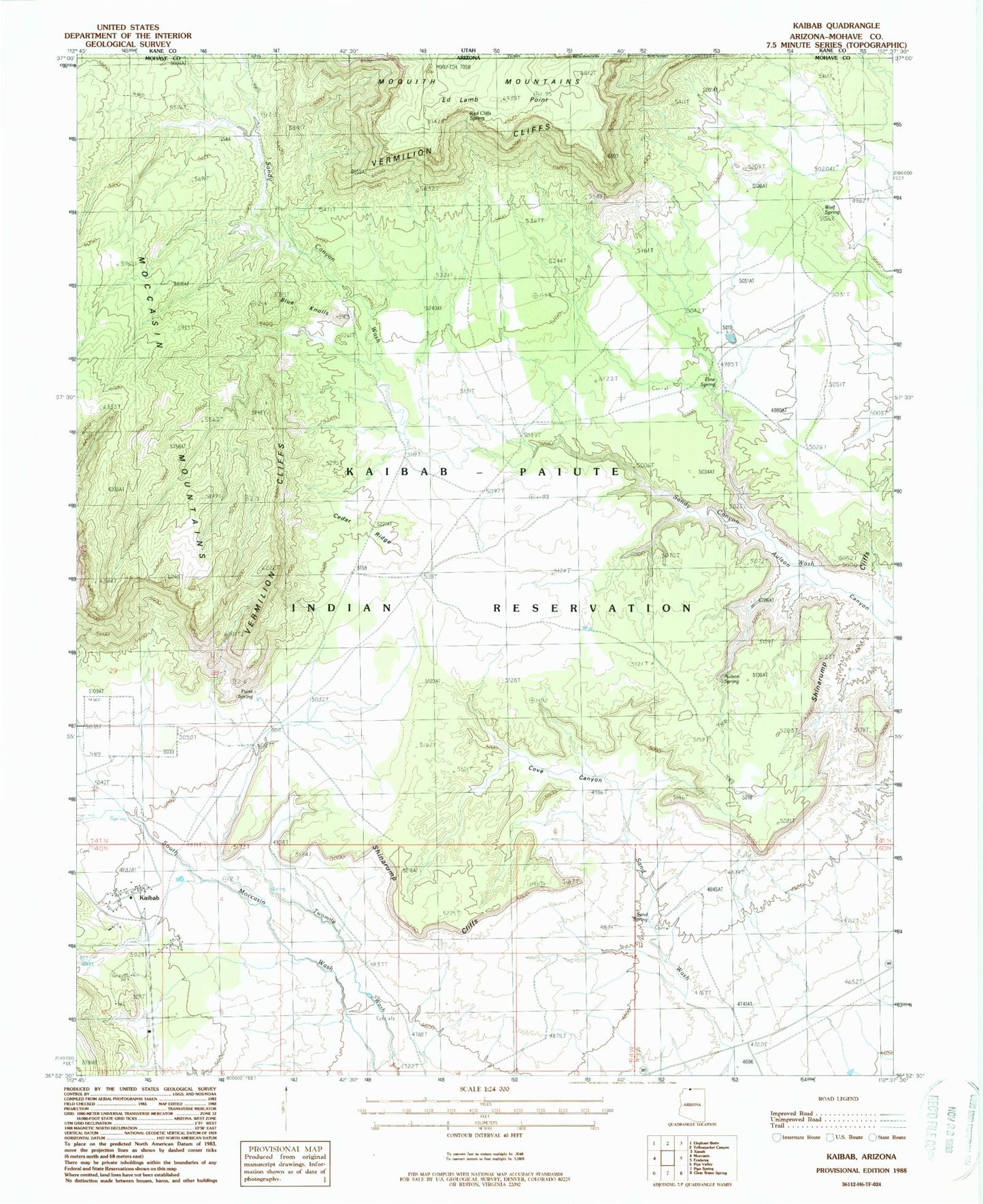
MyTopo
Classic USGS Kaibab Arizona 7.5'x7.5' Topo Map
Regular price
$16.95
Regular price
Sale price
$16.95
Unit price
per
Couldn't load pickup availability
Historical USGS topographic quad map of Kaibab in the state of Arizona. Map scale may vary for some years, but is generally around 1:24,000. Print size is approximately 24" x 27"
This quadrangle is in the following counties: Mohave.
The map contains contour lines, roads, rivers, towns, and lakes. Printed on high-quality waterproof paper with UV fade-resistant inks, and shipped rolled.
Contains the following named places: Aulson Spring, Blue Knolls, Cedar Ridge, Cove Canyon, Ed Lamb Point, Indian Moccasin, Kaibab, Kaibab Census Designated Place, Kaibab Indian Reservation, Pine Spring, Point Spring, Red Cliff Spring, Riggs Spring, Sand Spring, Shinarump Cliffs, Stock Pond, Twomile Corrals, Wolf Spring