MyTopo
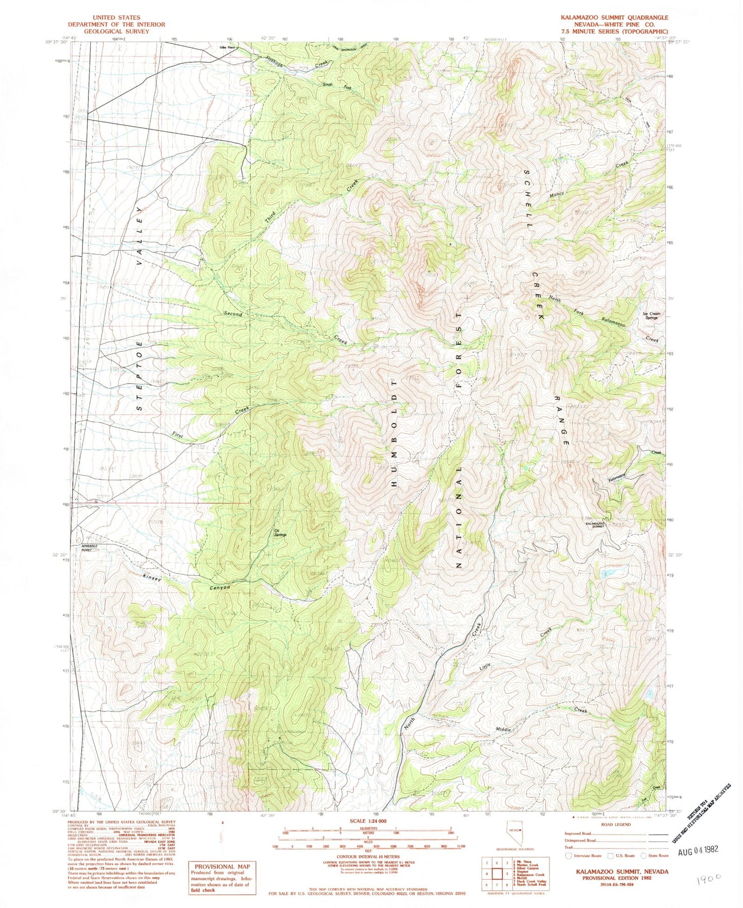
Classic USGS Kalamazoo Summit Nevada 7.5'x7.5' Topo Map
Regular price
$16.95
Regular price
Sale price
$16.95
Unit price
per
Couldn't load pickup availability
Historical USGS topographic quad map of Kalamazoo Summit in the state of Nevada. Map scale may vary for some years, but is generally around 1:24,000. Print size is approximately 24" x 27"
This quadrangle is in the following counties: White Pine.
The map contains contour lines, roads, rivers, towns, and lakes. Printed on high-quality waterproof paper with UV fade-resistant inks, and shipped rolled.
Contains the following named places: Fera Ninety Four, Fera One Hundred, Fera One Hundred Four, Giles Place, Ice Cream Springs, Kalamazoo Summit, Kinsey Canyon, Little Creek, Middle Creek, Ninemile Point, Oil Springs, South Fork Fitzhugh Creek