MyTopo
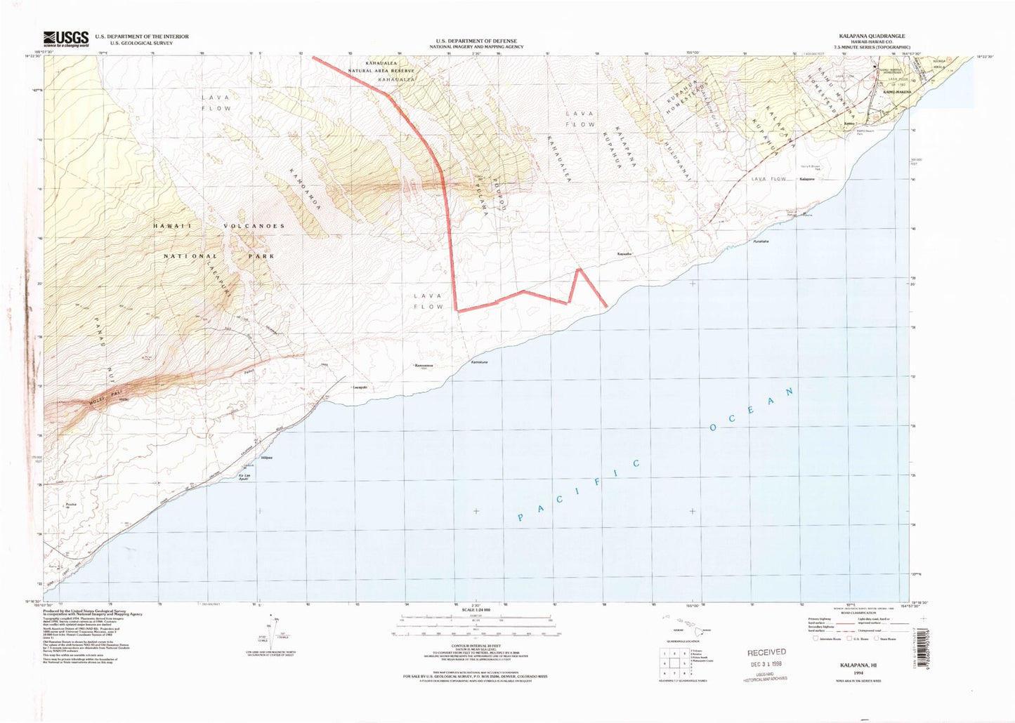
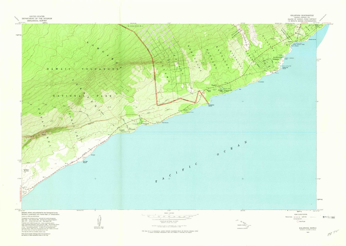
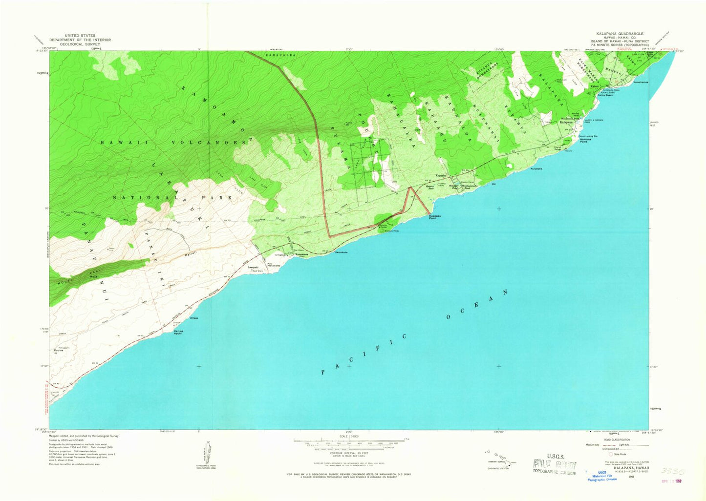
Classic USGS Kalapana Hawaii 7.5'x7.5' Topo Map
Couldn't load pickup availability
Historical USGS topographic quad map of Kalapana in the state of Hawaii. Map scale may vary for some years, but is generally around 1:24,000. Print size is approximately 24" x 27"
This quadrangle is in the following counties: Hawaii.
The map contains contour lines, roads, rivers, towns, and lakes. Printed on high-quality waterproof paper with UV fade-resistant inks, and shipped rolled.
Contains the following named places: Canoe Landing Site, Hakuma Point, Harry K Brown Park, Holei, Holei Sea Arch Overlook, Hulunanai, Ka Lae Apuki, Kaimu, Kaimu Beach, Kaimu Park, Kalaehiamoe, Kalapana, Kalapana Beach, Kalapana Census Designated Place, Kalapana State Wayside Park, Kalapana Trail, Kamoamoa, Kamokuna, Kapaahu, Kaunaloa, Kekaloa Heiau, Ki'i, Kumakaula Heiau, Kupahua, Kupahua Homesteads, Kupapau Point, Laeapuki, Lae'apuki, Lava Flow of 1750, Moa Heiau, Niukukahi Heiau, Paliuli, Panau Iki, Poupou, Pulama, Puna Trail, Punahaha, Punalu'u Heaiu, Puu Manawalea, Pu'uloa, Queens Bath, Royal Gardens, Star of the Sea Church, Waha'ula Heiau, Waha'ula Visitor Center, Wai'aka Heiau, Wai'aka Pond, Wai'akolea Pond, Waikupanaha Pond, Wilipea


