MyTopo
Classic USGS Kalkaska Michigan 7.5'x7.5' Topo Map
Couldn't load pickup availability
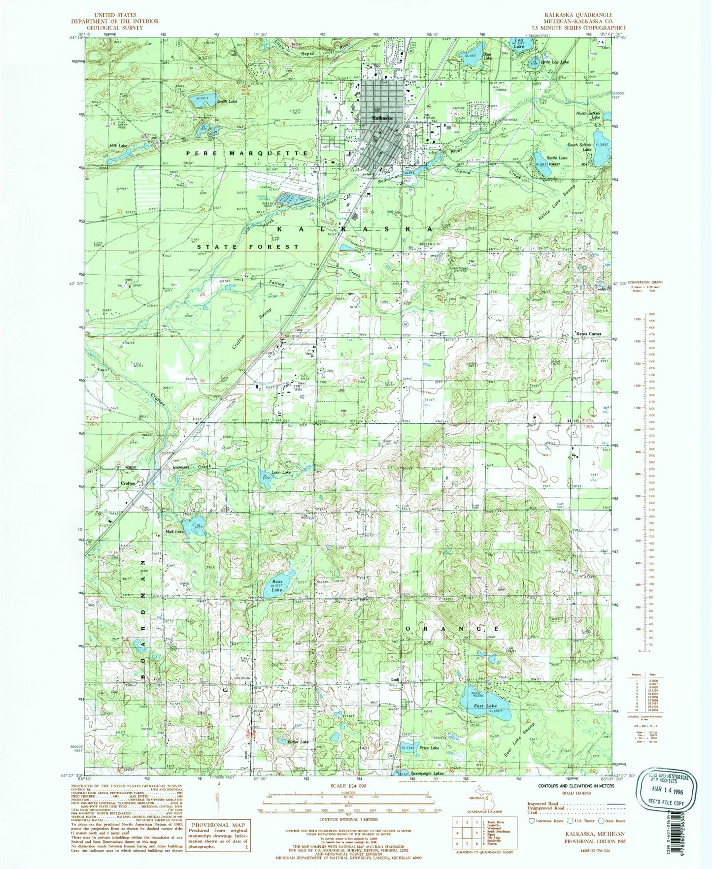
Historical USGS topographic quad map of Kalkaska in the state of Michigan. Map scale may vary for some years, but is generally around 1:24,000. Print size is approximately 24" x 27"
This quadrangle is in the following counties: Kalkaska.
The map contains contour lines, roads, rivers, towns, and lakes. Printed on high-quality waterproof paper with UV fade-resistant inks, and shipped rolled.
Contains the following named places: Bass Lake, Birch Street Elementary School, Blue Lake, Butler Lake, Calvary Baptist Church, Camel Lake, Cherry Elementary School, Church Alive Church of God, Church of the Nazarene, Corps School, Crofton, Crofton Post Office, Crofton Station, Crofton Swamp, Drake School, East Boardman Church, East Boardman United Methodist Church, East Lake, East Lake Swamp, Evergreen Bible Baptist Church, Evergreen Cemetery, Evergreen Church, Failing Creek, Jehovah's Witnesses, Kaliseum Recreation Complex, Kalkask Middle School, Kalkaska, Kalkaska Baptist Church, Kalkaska Church of Christ, Kalkaska City Airport, Kalkaska County Fairgrounds, Kalkaska County Government Center, Kalkaska County Library, Kalkaska County Sheriff's Office, Kalkaska Family Practice, Kalkaska High School, Kalkaska Historical Museum, Kalkaska Memorial Medical Center, Kalkaska Post Office, Kalkaska RV Park and Campground, Kalkaska Station, Kalkaska Township Fire Department Station 7, Kalkaska Village Police Department, Kettle Lake, Kettle Lake Swamp, Little Log Lake, Lodi, Lodi Cemetery, Lodi Church, Lodi Post Office, Log Lake, Loon Lake, M-72 Church of Christ, Michigan Department of Natural Resources Kalkaska Field Office, Milk Lake, Mobile Home Estates, Mud Lake, New Life Assembly of God Church, Palmer Creek, Peoples Church, Price Lake, Saint Mary's of the Woods Church, Saunders School, Seventh Day Adventist Church, Smith Lake, South Selkirk Lake, Township of Kalkaska, Township of Orange, Twin Birch Golf Course, Tyler School, Village of Kalkaska, Vipond Creek, WKLT-AM (Kalkaska)


