MyTopo
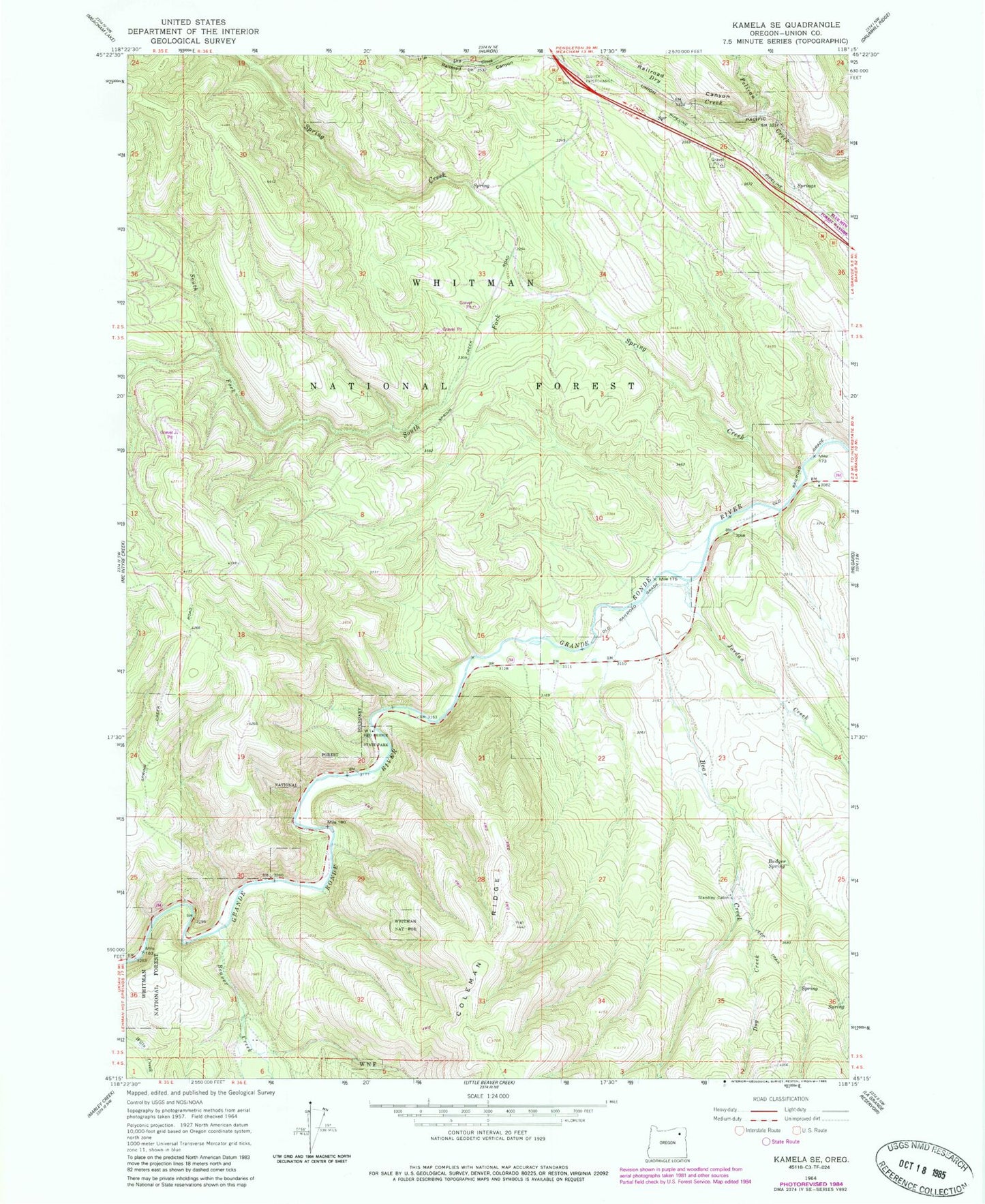
Classic USGS Kamela SE Oregon 7.5'x7.5' Topo Map
Couldn't load pickup availability
Historical USGS topographic quad map of Kamela SE in the state of Oregon. Map scale may vary for some years, but is generally around 1:24,000. Print size is approximately 24" x 27"
This quadrangle is in the following counties: Union.
The map contains contour lines, roads, rivers, towns, and lakes. Printed on high-quality waterproof paper with UV fade-resistant inks, and shipped rolled.
Contains the following named places: Badger Spring, Bear Creek, Beaver Creek, Bird Track Springs Recreation Site, Blue Mountain Crossing Sno-Park, Bunny Hill Recreation Site, Dog Creek, Dry Creek, Glover, Jordan Creek, Railroad Canyon, Red Bridge State Park, South Fork Spring Creek, Spring Creek, Spring Creek Recreation Site, Standley Cabin