MyTopo
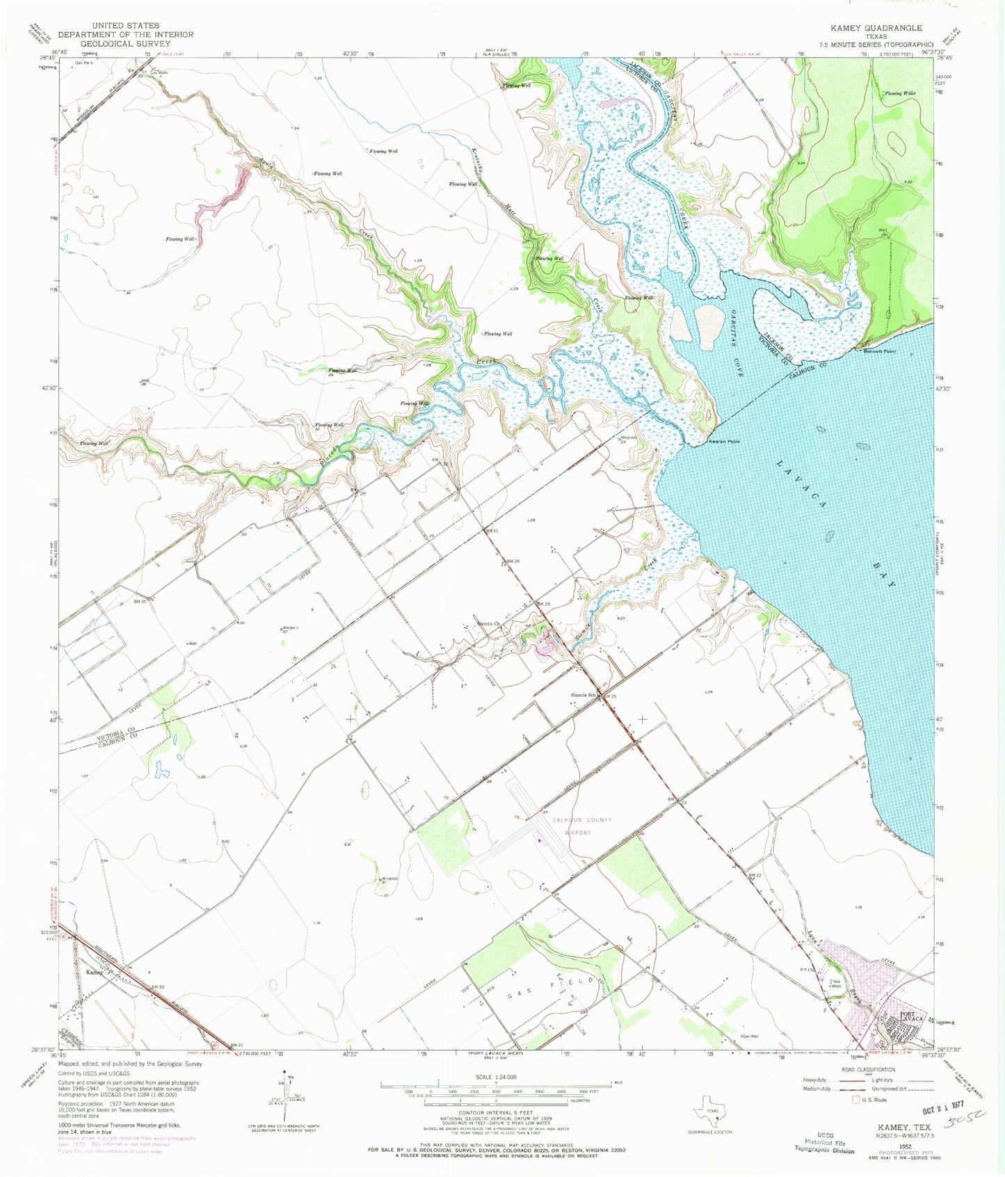
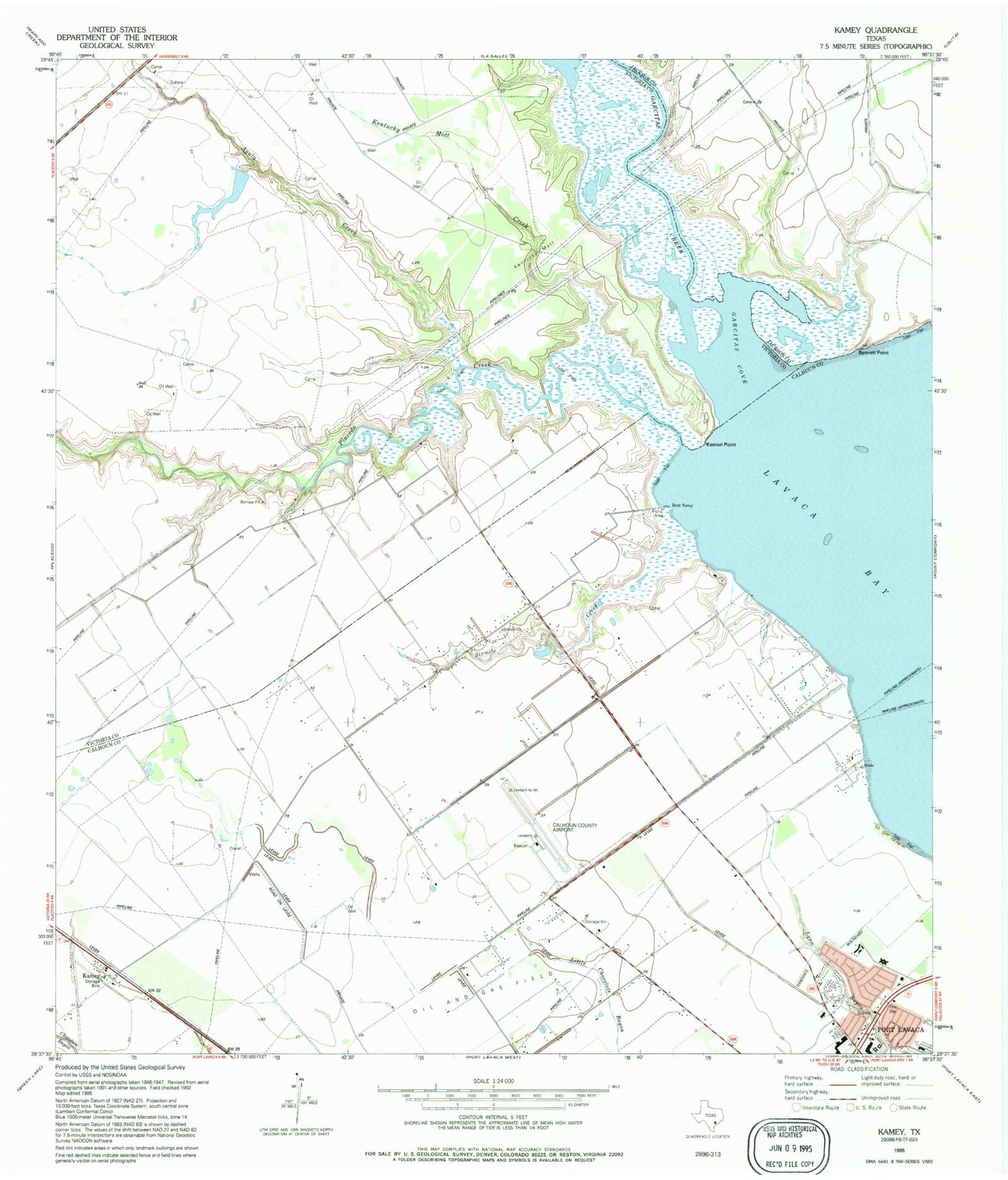
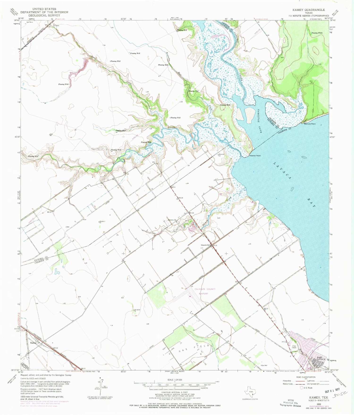
Classic USGS Kamey Texas 7.5'x7.5' Topo Map
Couldn't load pickup availability
Historical USGS topographic quad map of Kamey in the state of Texas. Map scale may vary for some years, but is generally around 1:24,000. Print size is approximately 24" x 27"
This quadrangle is in the following counties: Calhoun, Jackson, Victoria.
The map contains contour lines, roads, rivers, towns, and lakes. Printed on high-quality waterproof paper with UV fade-resistant inks, and shipped rolled.
Contains the following named places: Agula Creek, Bennett Point, Calhoun County Airport, First Baptist Church, Garcitas Cove, Garcitas Creek, Johnson Spring, Kamey, Keeran Point, Kentucky Mutt Creek, Placedo Creek, Port Lavaca Fire Department Station 2, Six Mile A / G Christian School, Six Mile Cemetery, Sixmile, Sixmile Church, Sixmile Creek, Sterling Airport, Texas No Name Number 44 Dam