MyTopo
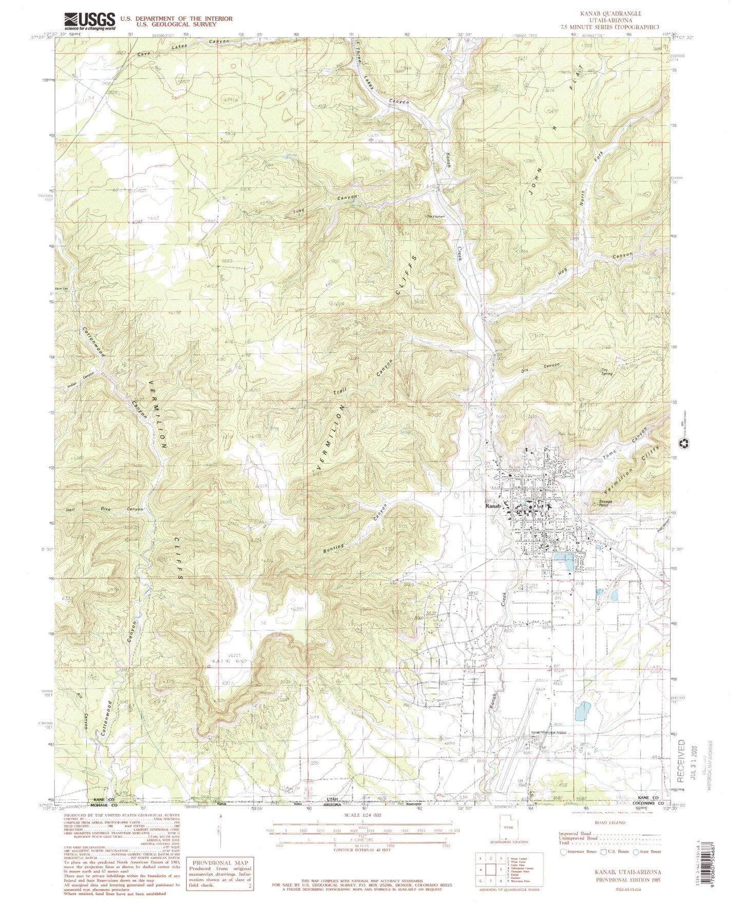
Classic USGS Kanab Utah 7.5'x7.5' Topo Map
Couldn't load pickup availability
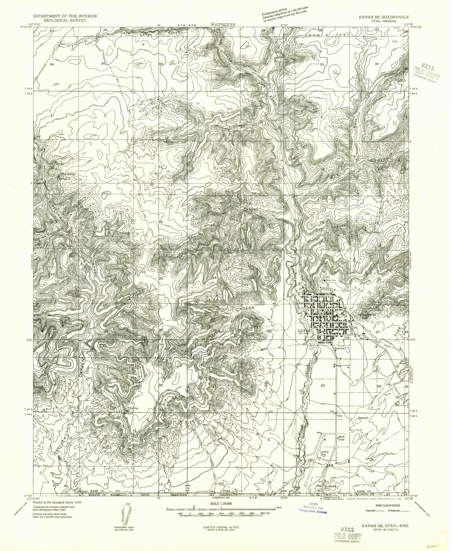
Historical USGS topographic quad map of Kanab in the state of Utah. Map scale may vary for some years, but is generally around 1:24,000. Print size is approximately 24" x 27"
This quadrangle is in the following counties: Coconino, Kane, Mohave.
The map contains contour lines, roads, rivers, towns, and lakes. Printed on high-quality waterproof paper with UV fade-resistant inks, and shipped rolled.
Contains the following named places: Art Canyon, Bunting Canyon, Cave Lakes Canyon, City of Kanab, Cottonwood Canyon, Cottonwood Point, Crazy Horse Campark, Dinosaur Tracks, Dry Canyon, Dry Spring, Farm Canyon, First Baptist Church, Hog Canyon, Indian Canyon, Indian Dance Hall, Kanab, Kanab City Cemetery, Kanab City Police Department, Kanab Elementary School, Kanab Fire Department, Kanab Fire Department Ranchos Fire House, Kanab High School, Kanab Municipal Airport, Kanab Pioneer Park Cemetery, Kanab Post Office, Kane County Ambulance, Kane County Ambulance Kanab, Kane County Hospital, Kane County Sheriffs Office, Littles Campground and RV Park, North Fork Hog Canyon, Old Movie Fort, Pugh Canyon, Saint Christopher Catholic Church, Savage Point, Spencer Number Two Dam, Spencer Number Two Reservoir, The Church of Jesus Christ of Latter Day Saints, Three Lakes Canyon, Tiny Canyon, Toms Canyon, Trail Canyon, Utah Highway Patrol Section 9 Kanab Office