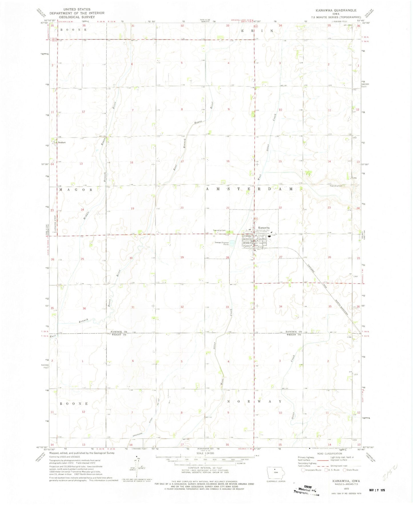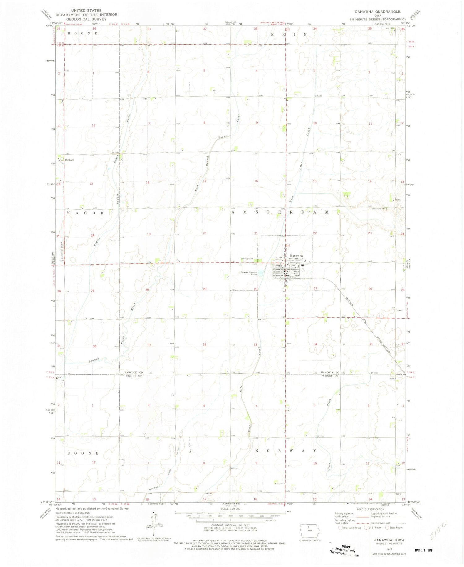
MyTopo
Classic USGS Kanawha Iowa 7.5'x7.5' Topo Map
Couldn't load pickup availability
Historical USGS topographic quad map of Kanawha in the state of Iowa. Map scale may vary for some years, but is generally around 1:24,000. Print size is approximately 24" x 27"
This quadrangle is in the following counties: Hancock, Wright.
The map contains contour lines, roads, rivers, towns, and lakes. Printed on high-quality waterproof paper with UV fade-resistant inks, and shipped rolled.
Contains the following named places: Amsterdam Township Cemetery, Christian Reformed Church, City of Kanawha, Cuba Post Office, Denhart, Drainage Ditch Number 107, Kanawha, Kanawha Christian School, Kanawha Community Nursing Home, Kanawha Fire Department, Kanawha Lutheran Church, Kanawha Medical Clinic, Kanawha Post Office, Kanawha Public Library, Liberty School Museum, Middle Branch Boone River, Mikesville Post Office, North Central Cooperative Elevator, Old Amsterdam Cemetery, Township of Amsterdam, United Methodist Church, West Hancock Ambulance Service, West Hancock Middle School, ZIP Code: 50447