
MyTopo
Classic USGS Kanda Wyoming 7.5'x7.5' Topo Map
Couldn't load pickup availability
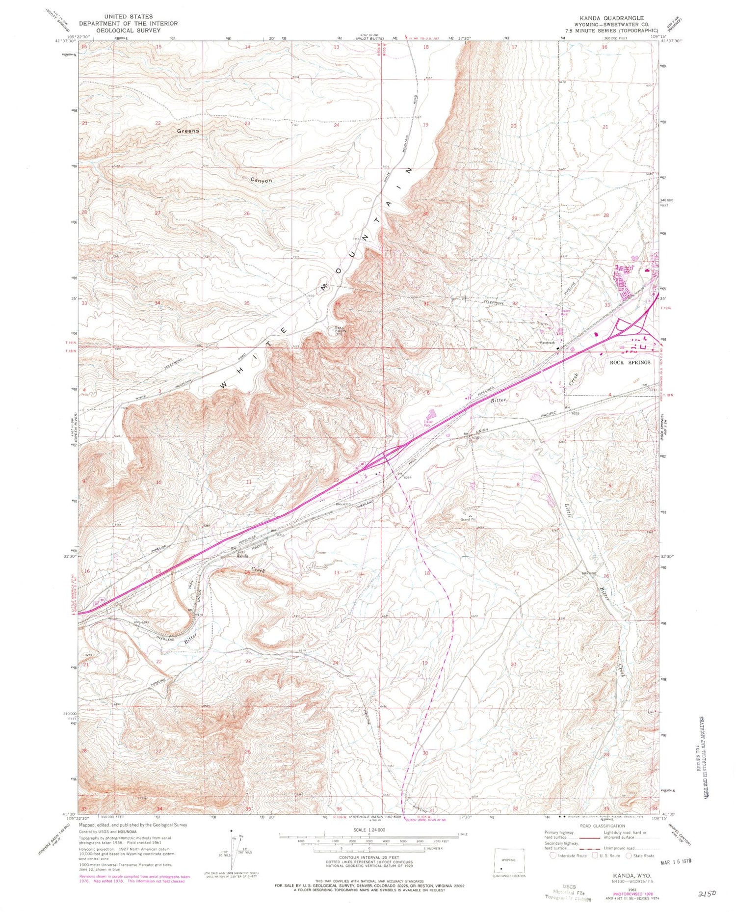
Historical USGS topographic quad map of Kanda in the state of Wyoming. Map scale may vary for some years, but is generally around 1:24,000. Print size is approximately 24" x 27"
This quadrangle is in the following counties: Sweetwater.
The map contains contour lines, roads, rivers, towns, and lakes. Printed on high-quality waterproof paper with UV fade-resistant inks, and shipped rolled.
Contains the following named places: Clearview Acres, Clearview Acres Census Designated Place, Green River Basin-Laramie Research Mine, Kanda, Little Bitter Creek, Purple Sage, Purple Sage Census Designated Place, Rock Canyon, Rock Springs Coal Company Number One Mine, Rock Springs Post Office, Sweetwater County Sheriff's Office, White Mountain, Wyoming Coal and Coke Company Mine


