MyTopo
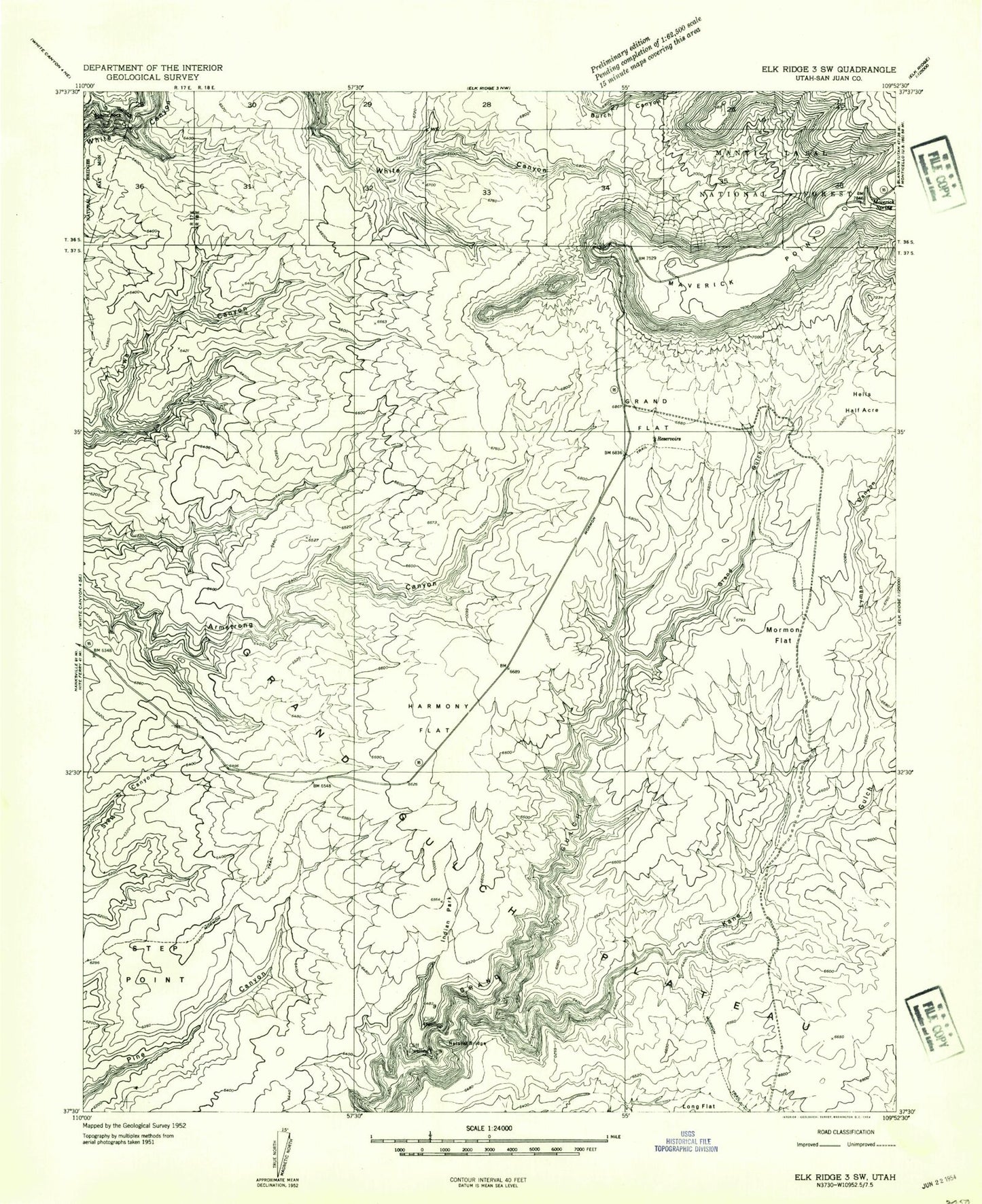
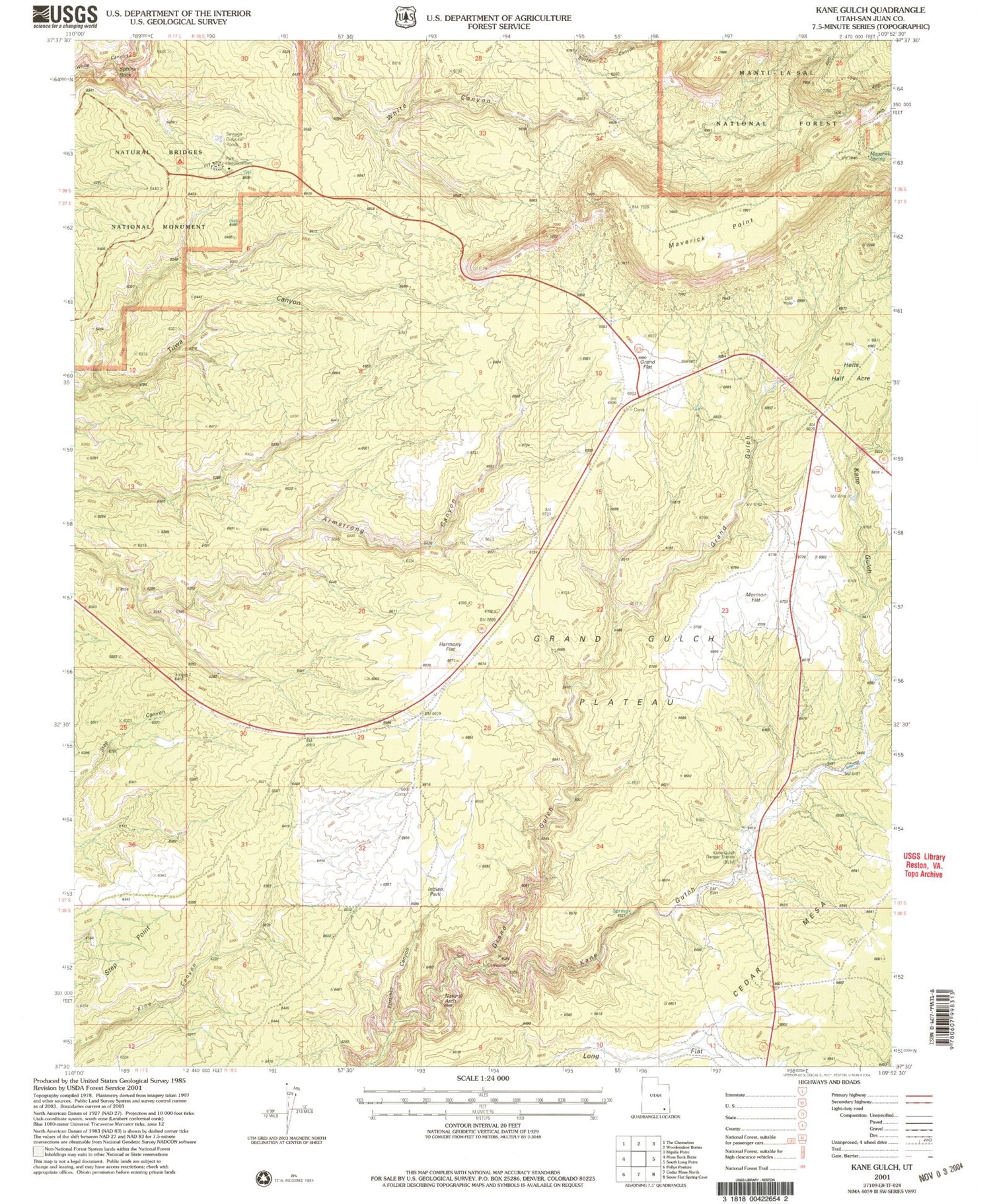
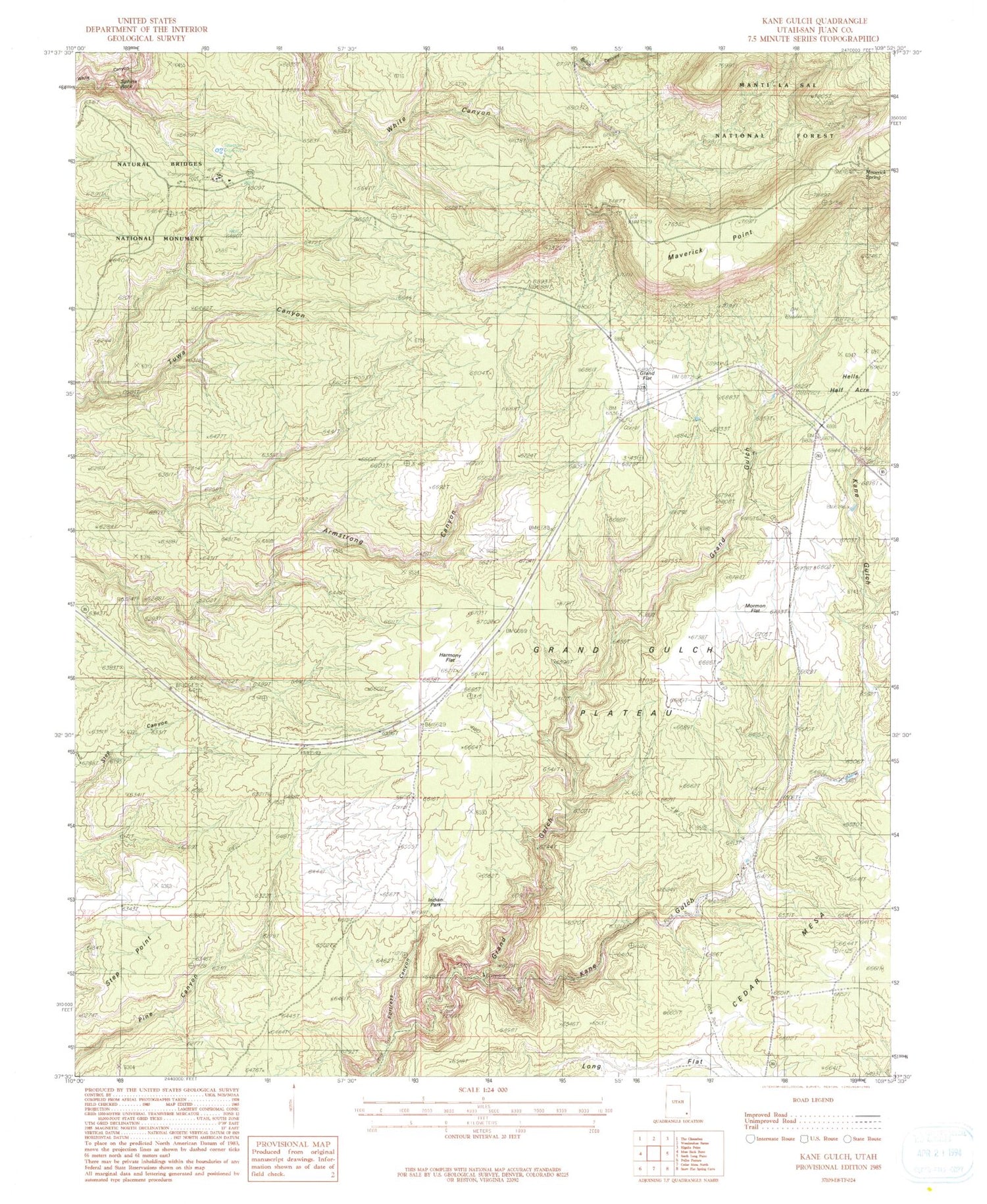
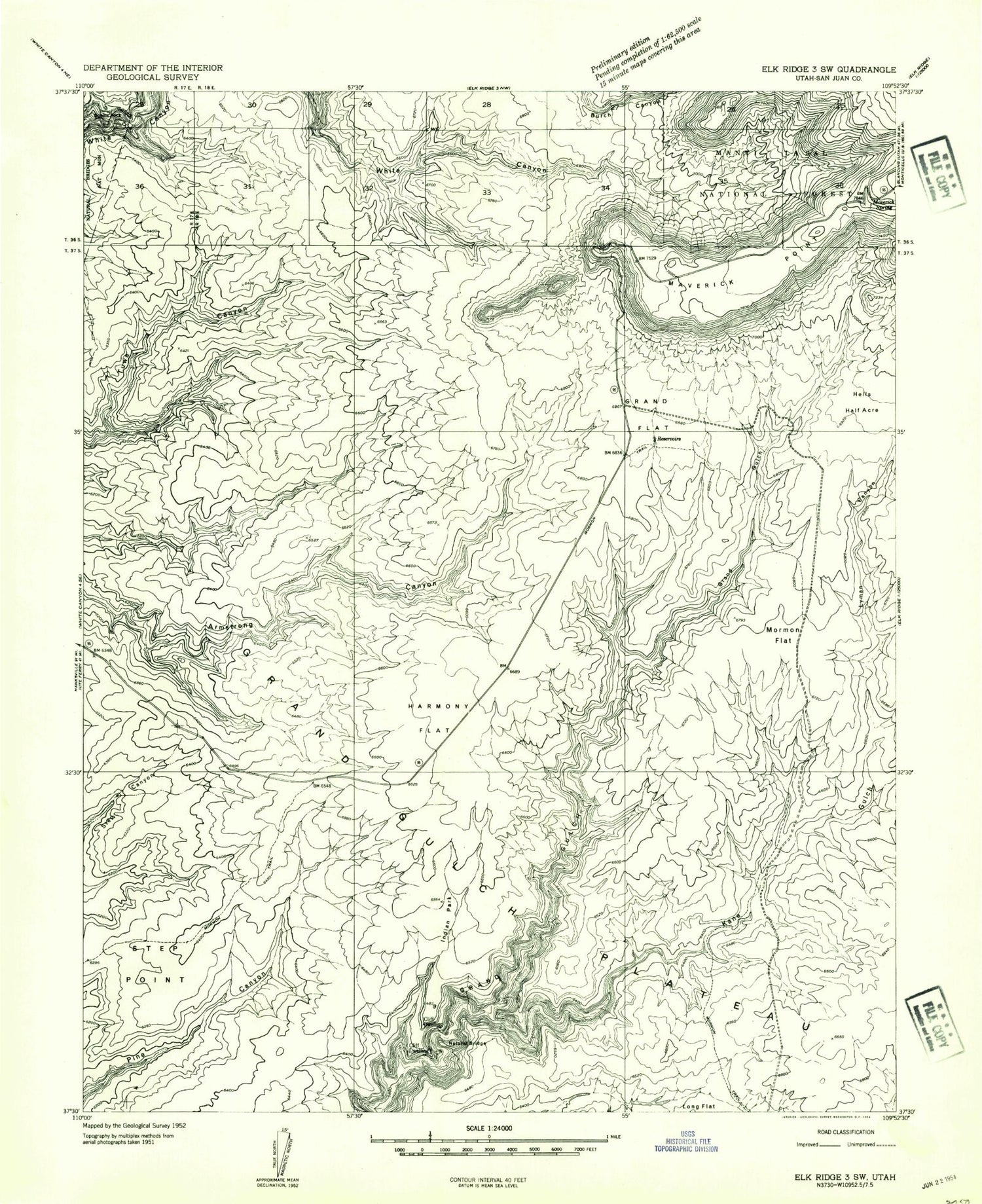
Classic USGS Kane Gulch Utah 7.5'x7.5' Topo Map
Couldn't load pickup availability
Historical USGS topographic quad map of Kane Gulch in the state of Utah. Typical map scale is 1:24,000, but may vary for certain years, if available. Print size: 24" x 27"
This quadrangle is in the following counties: San Juan.
The map contains contour lines, roads, rivers, towns, and lakes. Printed on high-quality waterproof paper with UV fade-resistant inks, and shipped rolled.
Contains the following named places: Grand Flat, Harmony Flat, Hells Half Acre, Indian Park, Kane Gulch, Maverick Point, Maverick Spring, Mormon Flat, Sphinx Rock, Step Point, Fortress Canyon, Junction Spring, Kane Gulch Ranger Station, Kane Gulch Trailhead, Monument Valley Overlook, Natural Bridges National Monument Campground, Natural Bridges National Monument Visitor Center, Stimper Arch, Grand Gulch Ranger Station, Hole in the Rock Trail, Natural Bridges Recreation Site, Photovoltaic Array, Blanding Division, Grand Flat, Harmony Flat, Hells Half Acre, Indian Park, Kane Gulch, Maverick Point, Maverick Spring, Mormon Flat, Sphinx Rock, Step Point, Fortress Canyon, Junction Spring, Kane Gulch Ranger Station, Kane Gulch Trailhead, Monument Valley Overlook, Natural Bridges National Monument Campground, Natural Bridges National Monument Visitor Center, Stimper Arch, Grand Gulch Ranger Station, Hole in the Rock Trail, Natural Bridges Recreation Site, Photovoltaic Array, Blanding Division