MyTopo
Classic USGS Kane Ranch Arizona 7.5'x7.5' Topo Map
Regular price
$16.95
Regular price
Sale price
$16.95
Unit price
per
Couldn't load pickup availability
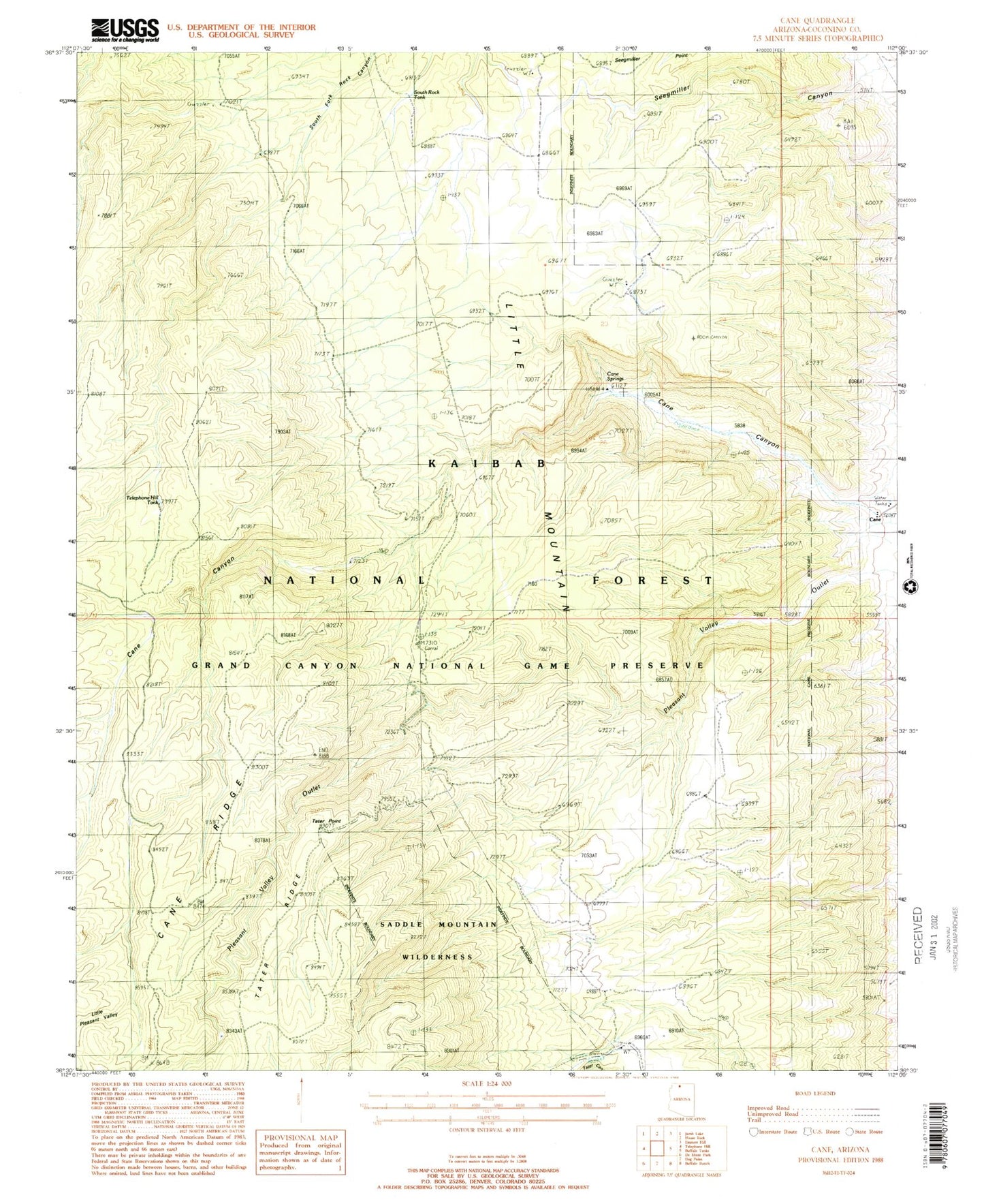
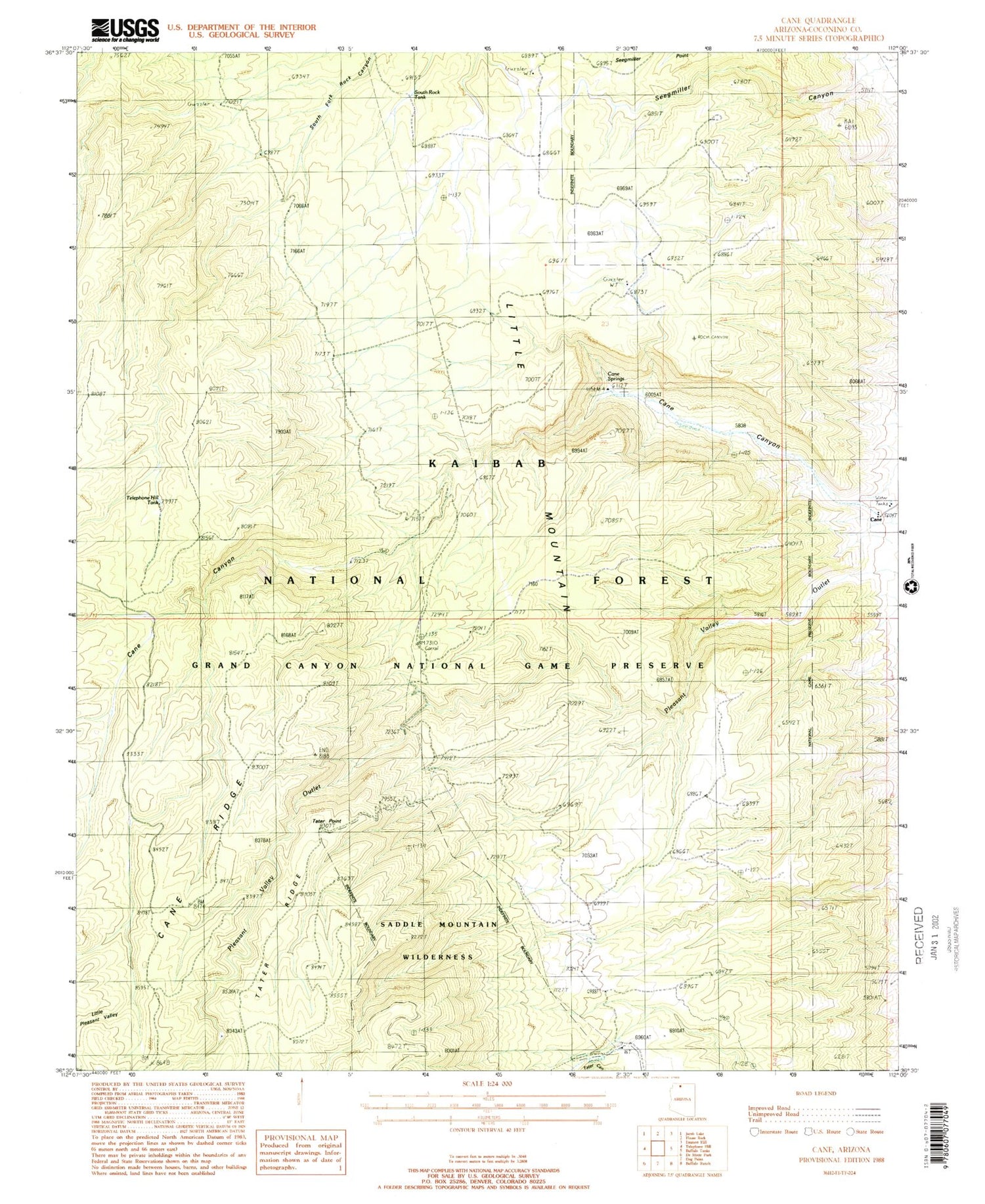
Historical USGS topographic quad map of Kane Ranch in the state of Arizona. Map scale may vary for some years, but is generally around 1:24,000. Print size is approximately 24" x 27"
This quadrangle is in the following counties: Coconino.
The map contains contour lines, roads, rivers, towns, and lakes. Printed on high-quality waterproof paper with UV fade-resistant inks, and shipped rolled.
Contains the following named places: Cane Corral, Cane Springs, Kane Corral, Kane Ranch, Kane Trail, Kane Trick Tank, Little Mountain, Little Pleasant Valley, Seegmiller Point, Seegmiller Trick Tank, South House Rock Trick Tank, South Rock Tank, Tater Point, Tater Tank, Telephone Hill Tank