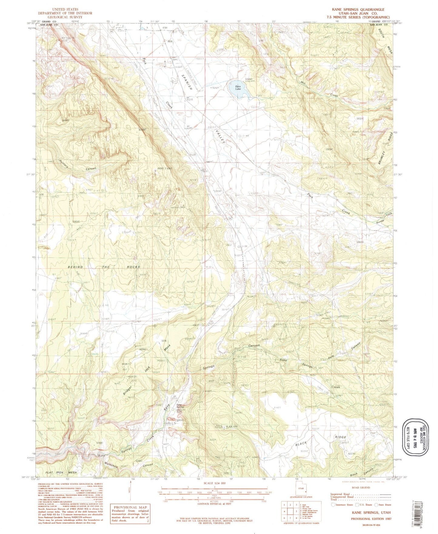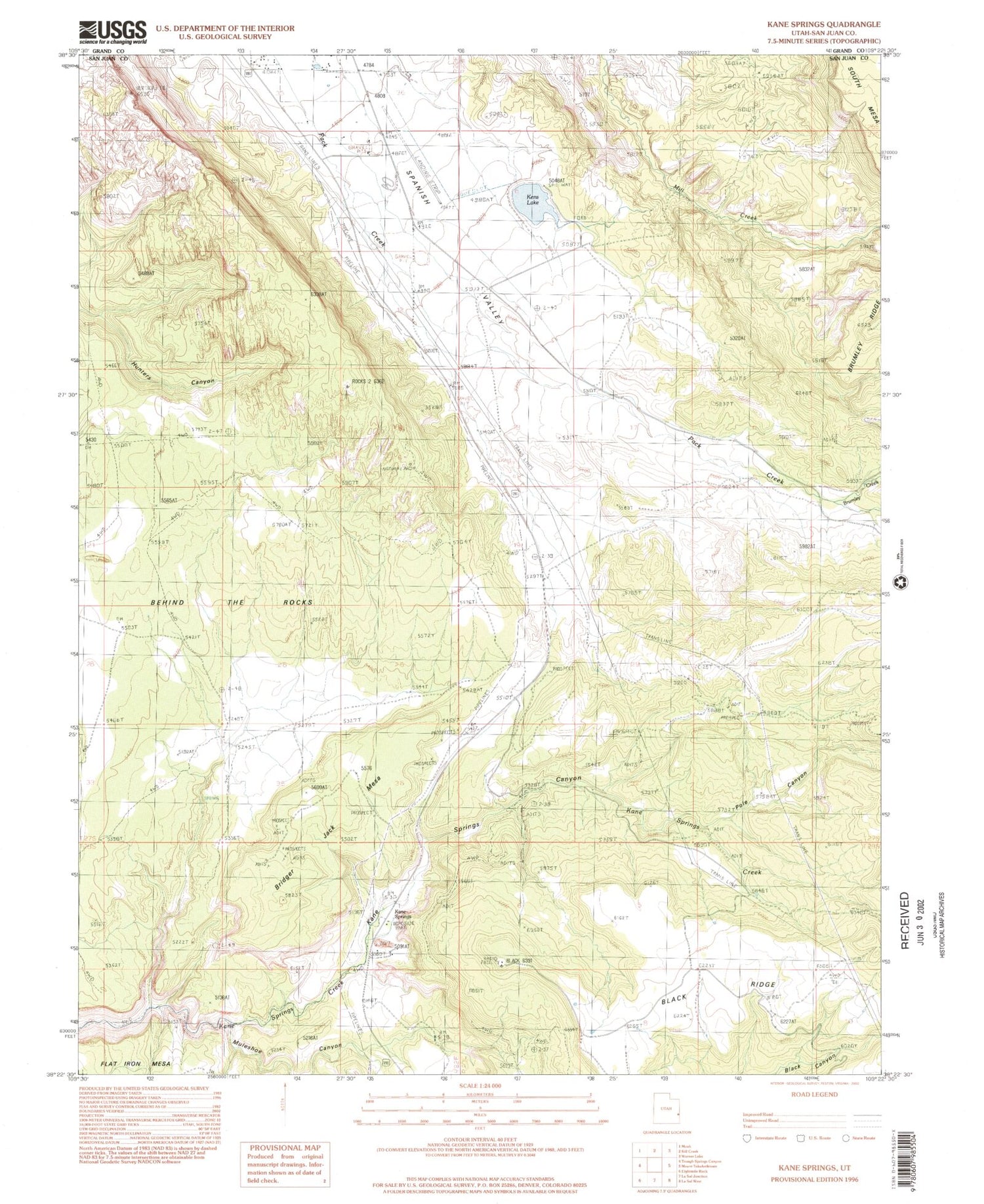

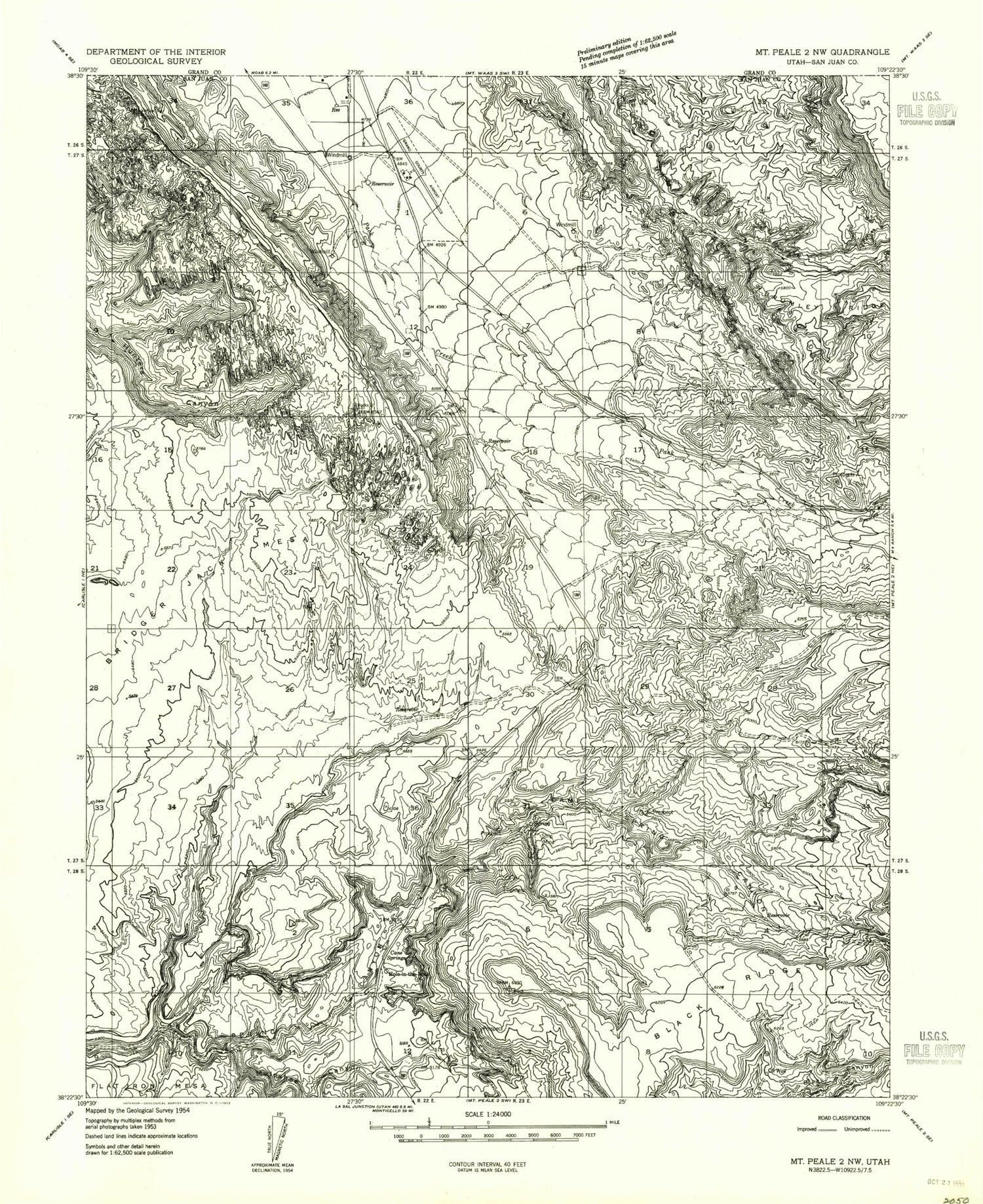
MyTopo
Classic USGS Kane Springs Utah 7.5'x7.5' Topo Map
Couldn't load pickup availability
Historical USGS topographic quad map of Kane Springs in the state of Utah. Map scale may vary for some years, but is generally around 1:24,000. Print size is approximately 24" x 27"
This quadrangle is in the following counties: Grand, San Juan.
The map contains contour lines, roads, rivers, towns, and lakes. Printed on high-quality waterproof paper with UV fade-resistant inks, and shipped rolled.
Contains the following named places: Behind the Rocks, Bridger Jack Mesa, Brumley Creek, Hardwater Rock, Hole 'n the Rock Cemetery, Hole-in-the-Rock, Kane Springs, Kane Springs Picnic Area, Kens Lake, Kens Lake Dam, Muleshoe Canyon, Pole Canyon, Sky Ranch Airport, Spanish Valley, Spanish Valley Census Designated Place