MyTopo
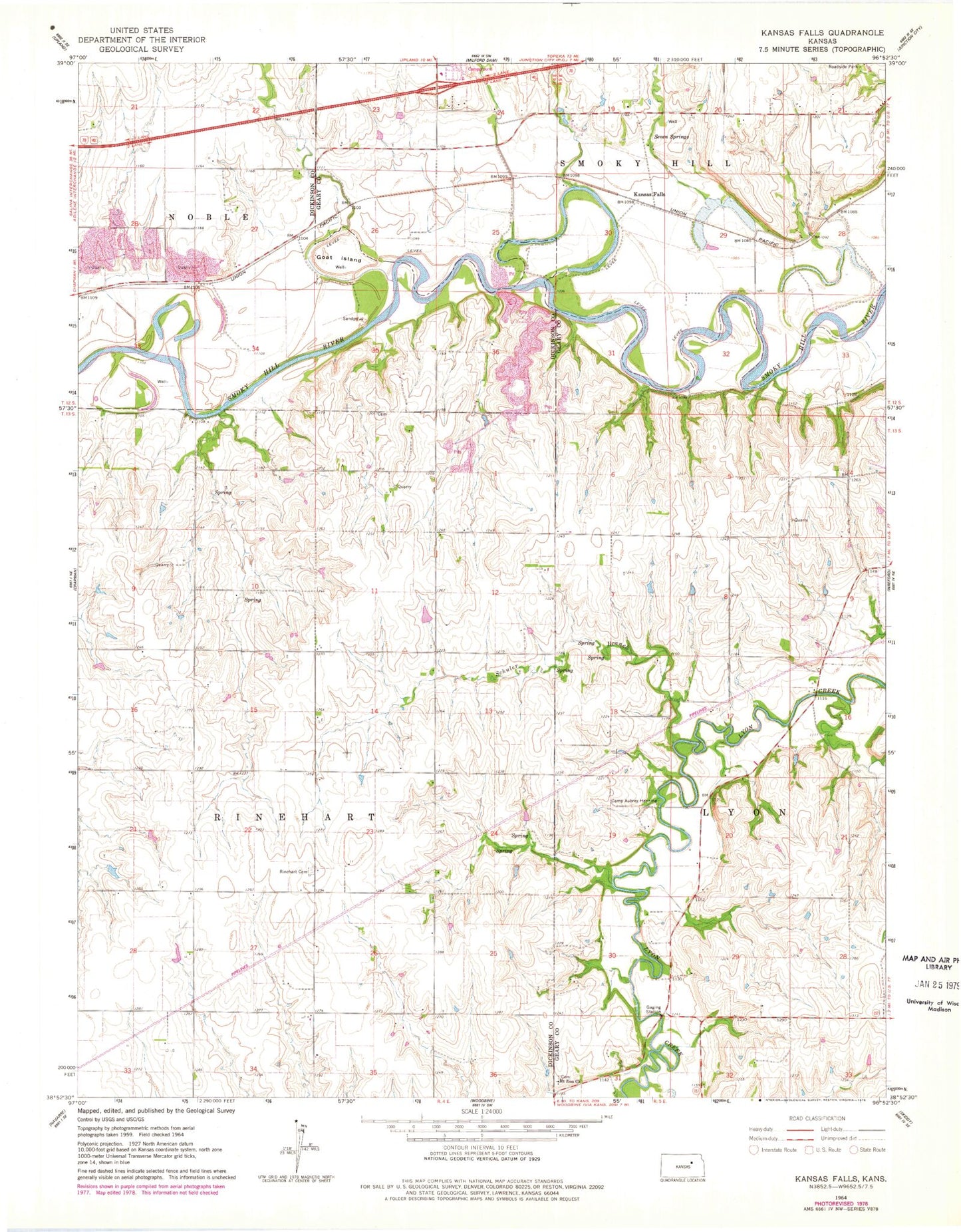
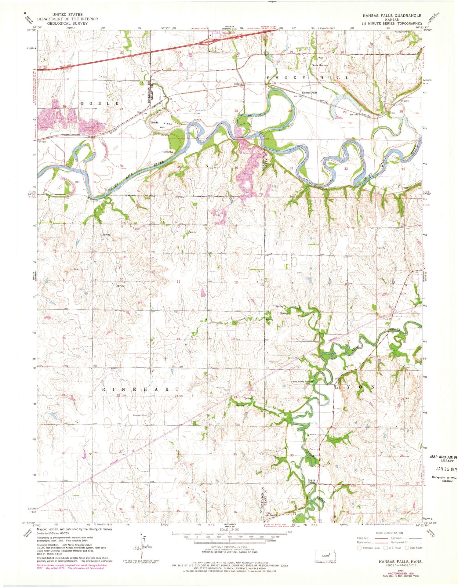
Classic USGS Kansas Falls Kansas 7.5'x7.5' Topo Map
Regular price
$16.95
Regular price
Sale price
$16.95
Unit price
per
Couldn't load pickup availability
Historical USGS topographic quad map of Kansas Falls in the state of Kansas. Map scale may vary for some years, but is generally around 1:24,000. Print size is approximately 24" x 27"
This quadrangle is in the following counties: Dickinson, Geary.
The map contains contour lines, roads, rivers, towns, and lakes. Printed on high-quality waterproof paper with UV fade-resistant inks, and shipped rolled.
Contains the following named places: Camp Aubrey Henning, Dickinson County Fire District 1 Station 3, Goat Island, Kansas Falls, Mount Zion Church, Rinehart Cemetery, Schuler Branch, Seven Springs, Township of Rinehart