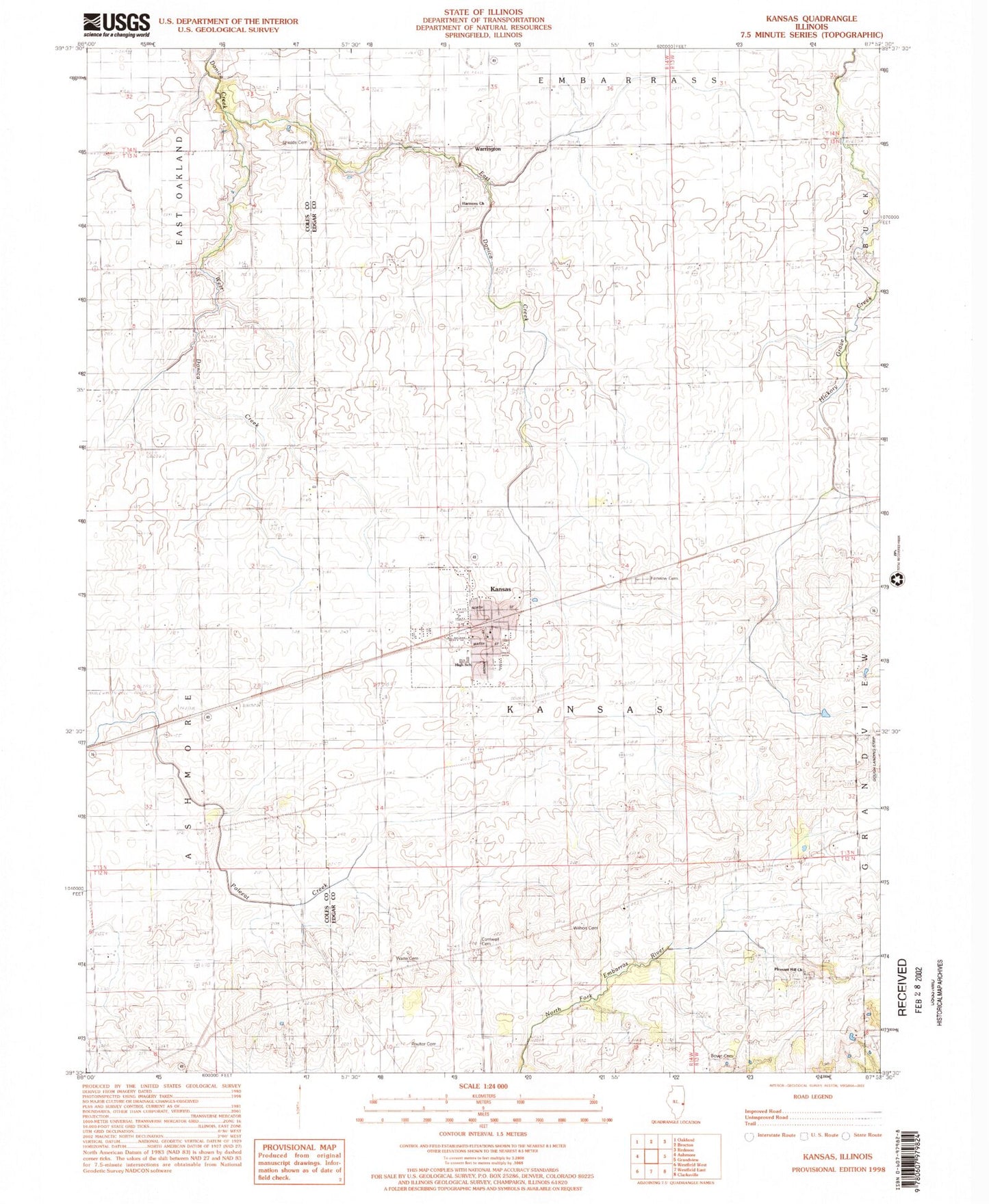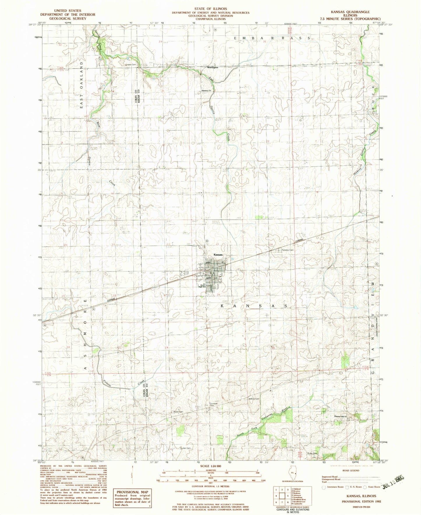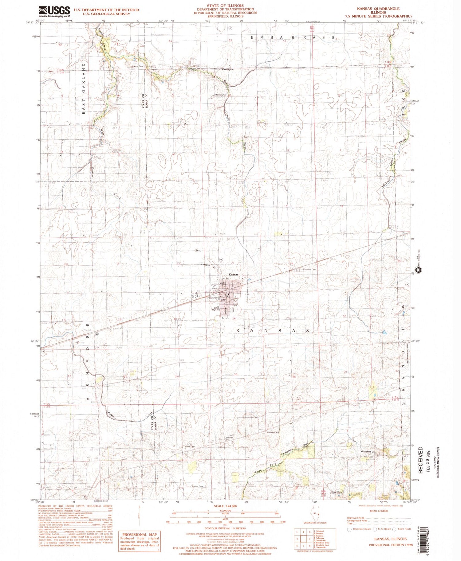

MyTopo
Classic USGS Kansas Illinois 7.5'x7.5' Topo Map
Couldn't load pickup availability
Historical USGS topographic quad map of Kansas in the state of Illinois. Map scale may vary for some years, but is generally around 1:24,000. Print size is approximately 24" x 27"
This quadrangle is in the following counties: Coles, Edgar.
The map contains contour lines, roads, rivers, towns, and lakes. Printed on high-quality waterproof paper with UV fade-resistant inks, and shipped rolled.
Contains the following named places: Bell School, Boyer Cemetery, College School, Cornwell Cemetery, East Donica Creek, Elm Grove, Fairview Cemetery, Gough Airport, Greenwood School, Harmony Cemetery, Harmony Church, Harmony School, Hickory Grove School, Inclose School, Kansas, Kansas Ambulance Company, Kansas Christian Church, Kansas Elementary School, Kansas Fire Protection District, Kansas High School, Kansas Post Office, Liberty School, Pleasant Hill Cemetery, Pleasant Hill Church, Pleasant Hill School, Poulter Cemetery, Prairie Union Church, Providence Church, Shields Cemetery, Shively School, Simpson School, Township of Kansas, Village of Kansas, Waite Cemetery, Walnut Grove School, Warrington, West Donica Creek, Wilhoit Cemetery, ZIP Code: 61933