
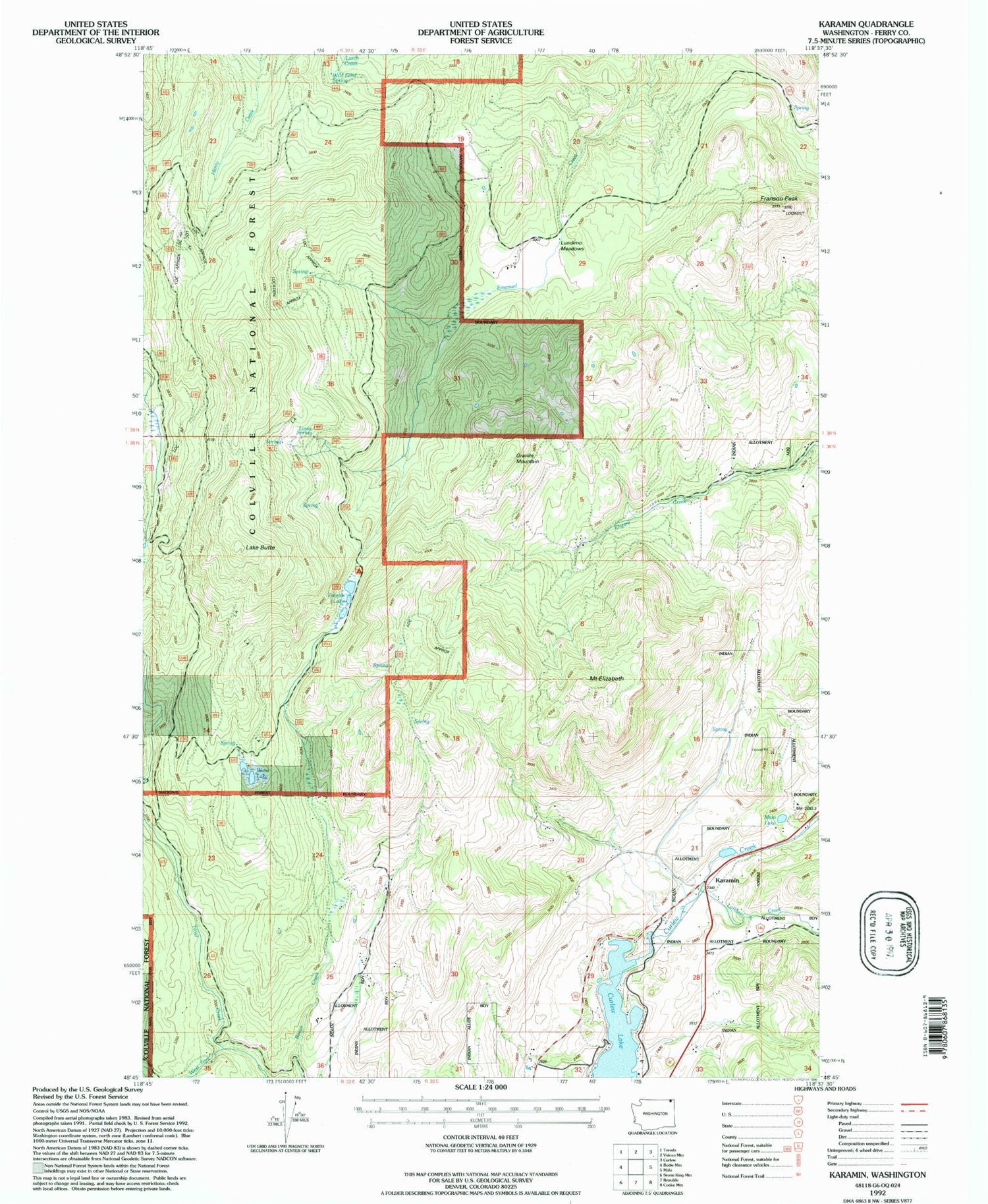
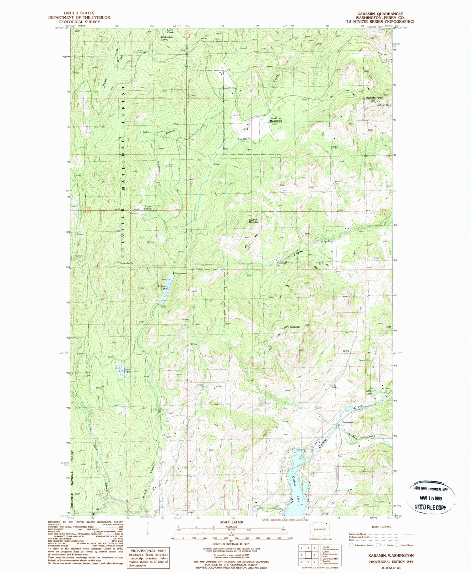
MyTopo
Classic USGS Karamin Washington 7.5'x7.5' Topo Map
Regular price
$16.95
Regular price
Sale price
$16.95
Unit price
per
Couldn't load pickup availability
Historical USGS topographic quad map of Karamin in the state of Washington. Map scale may vary for some years, but is generally around 1:24,000. Print size is approximately 24" x 27"
This quadrangle is in the following counties: Ferry.
The map contains contour lines, roads, rivers, towns, and lakes. Printed on high-quality waterproof paper with UV fade-resistant inks, and shipped rolled.
Contains the following named places: Curlew Lake Dam, Empire Lake, Ferry / Okanogan County Fire District 13 East Lake, Franson Peak, Goodrich Trail, Granite Mountain, Karamin, Lake Butte, Lambert Creek, Louis Spring, Lundimo Meadows, Malo Lake, Mosquito Lake, Mount Elizabeth, Ward Lake, West Fork Trout Creek


