MyTopo
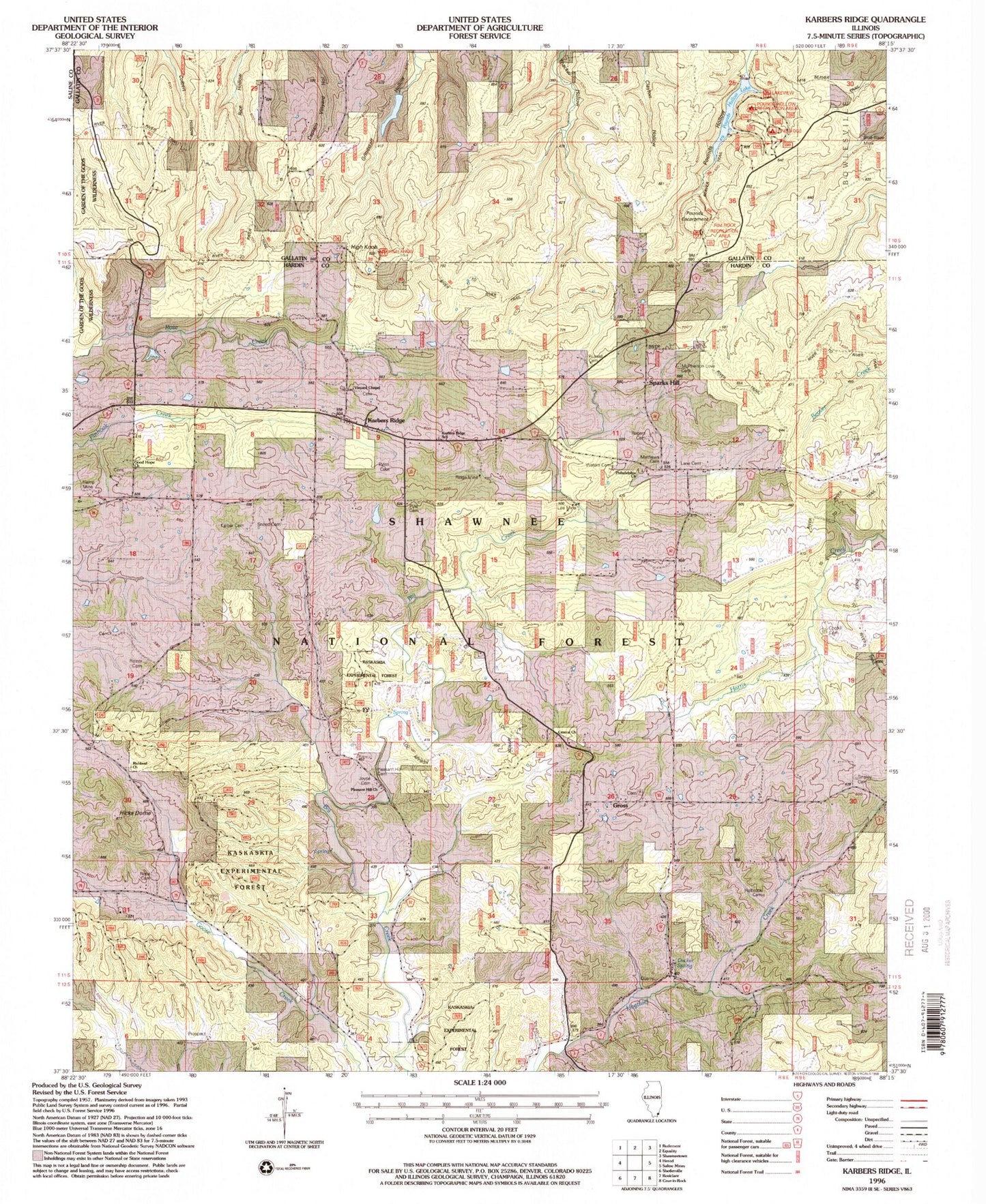
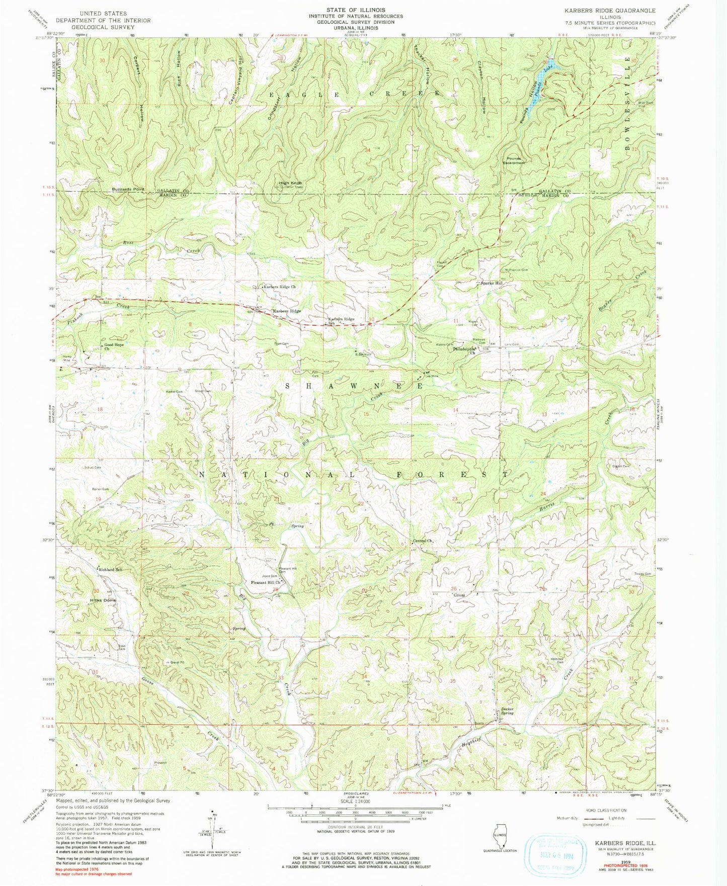
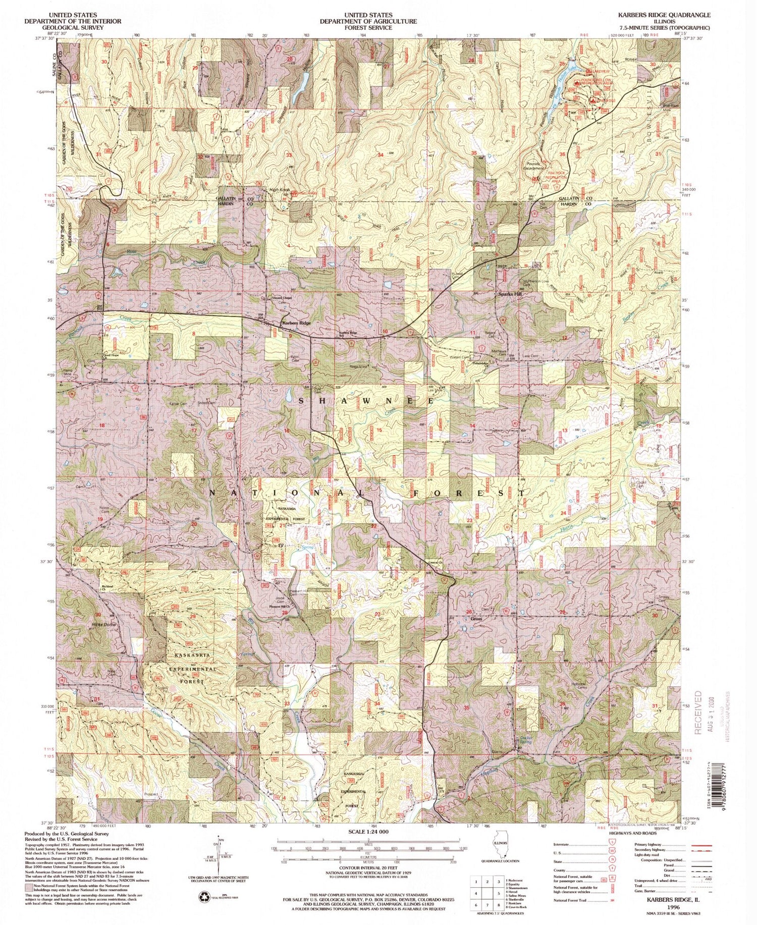
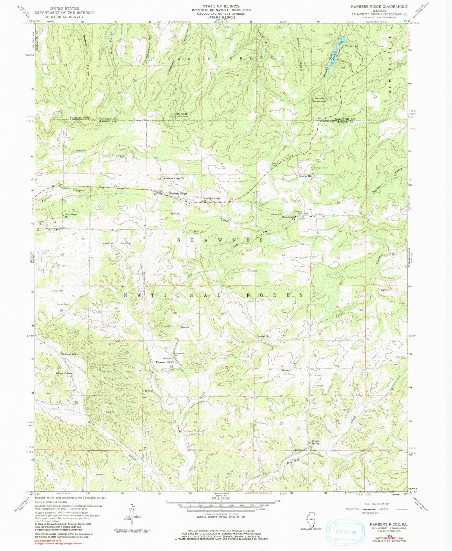
Classic USGS Karbers Ridge Illinois 7.5'x7.5' Topo Map
Couldn't load pickup availability
Historical USGS topographic quad map of Karbers Ridge in the state of Illinois. Typical map scale is 1:24,000, but may vary for certain years, if available. Print size: 24" x 27"
This quadrangle is in the following counties: Gallatin, Hardin, Saline.
The map contains contour lines, roads, rivers, towns, and lakes. Printed on high-quality waterproof paper with UV fade-resistant inks, and shipped rolled.
Contains the following named places: Beaver Trail, Lakeview Picnic Area, Rim Rock Recreation Area, Rim Rock Forest Trail Point of Interest, Indian Wall Picnic Area, Pounds Hollow Recreation Area, Pine Ridge Campground, River to River Trail, Richland Church, High Knob Recreation Site, High Knob Picnic Area, Hardin County, Blue Blaze Mine, Central Church, Coghill Cemetery, Decker Spring, Good Hope Church, Grindstaff Hollow, Gross, Hamp Mine, Hicks Dome, High Knob, Hill Cemetery, Holbrook Cemetery, Joyce Cemetery, Karber Cemetery, Karbers Ridge, Karbers Ridge Church, Karbers Ridge School, Lane Cemetery, Lee Mine, Mathews Cemetery, McPherson Cemetery, Philadelphia Church, Pleasant Hill Cemetery, Pleasant Hill Church, Pounds Lake, Pyle Cemetery, Pyles Cemetery, Reiner Cemetery, Richland School, Ridge Mine, Rogers Cemetery, Rose Hill Cemetery, Russell Cemetery, Schutt Cemetery, Sneed Cemetery, Sparks Hill, Tinsley Cemetery, Waters Cemetery, Shore to Shore Horse Trail, Karbers Ridge Recreatrion Site, Kaskaskia Experimental Forest, Pounds Escarpment, Grindstaff Hollow Club Dam, Grindstaff Hollow Club Lake, Pounds Hollow Dam, Big Creek School (historical), Brushy Fork School (historical), Harp Mine, Illinois Furnace (historical), Jacksons Store (historical), Karbers Ridge Post Office, Martha Furnace (historical), Pankeys Store (historical), Philadelphia School (historical), Sparks Hill Post Office (historical), Wolrab Mill (historical), Good Hope Cemetery, Monroe Election Precinct


