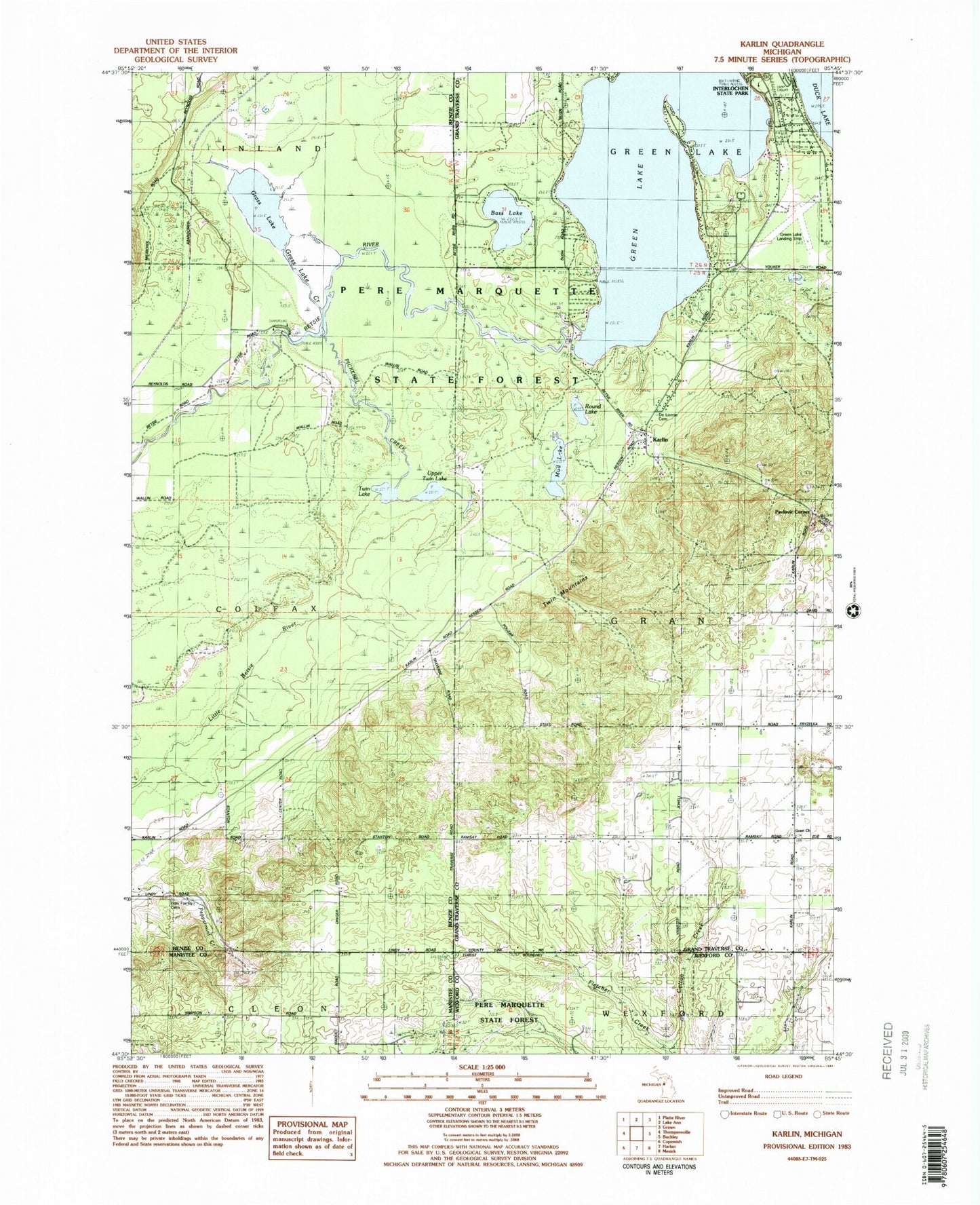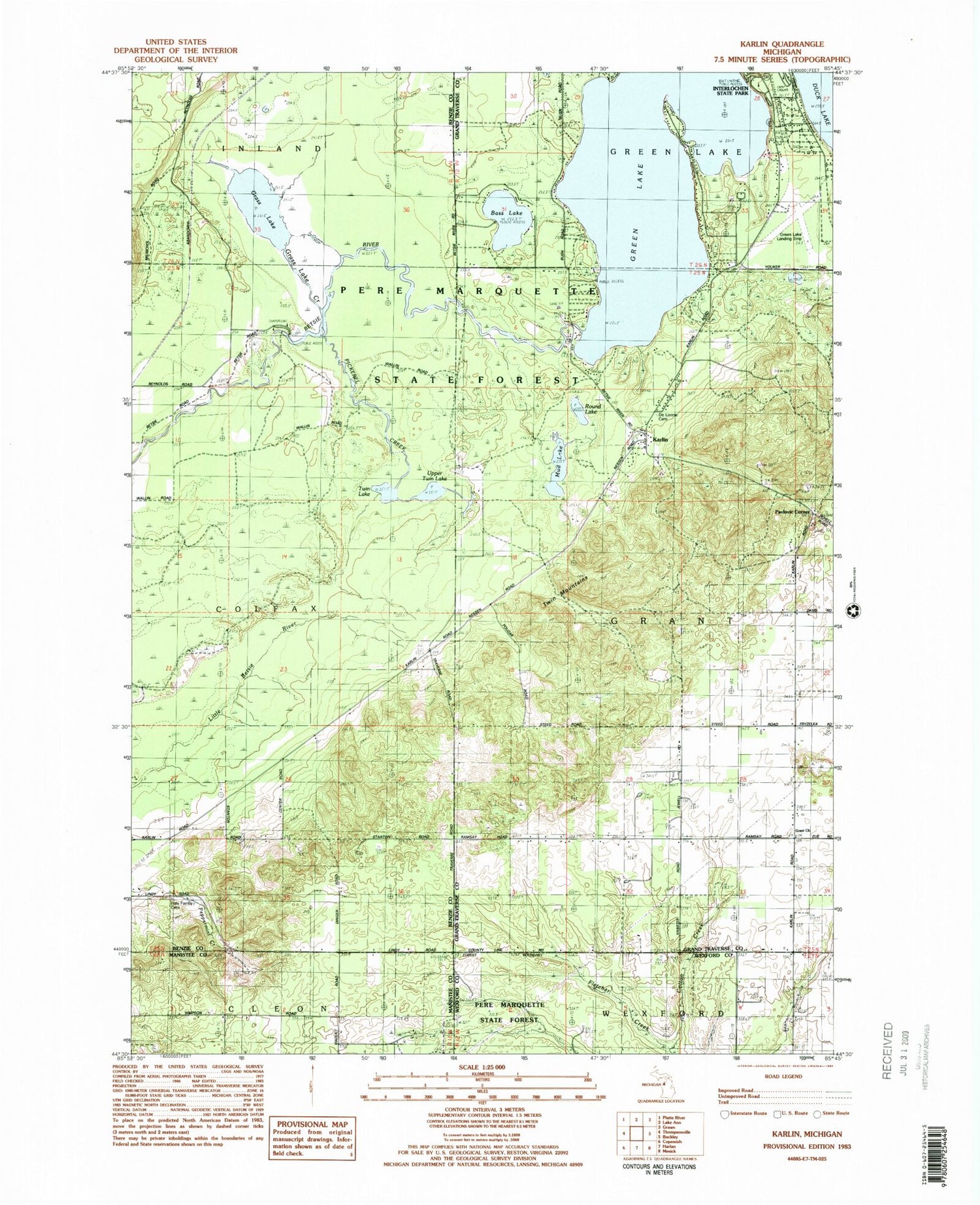
MyTopo
Classic USGS Karlin Michigan 7.5'x7.5' Topo Map
Couldn't load pickup availability
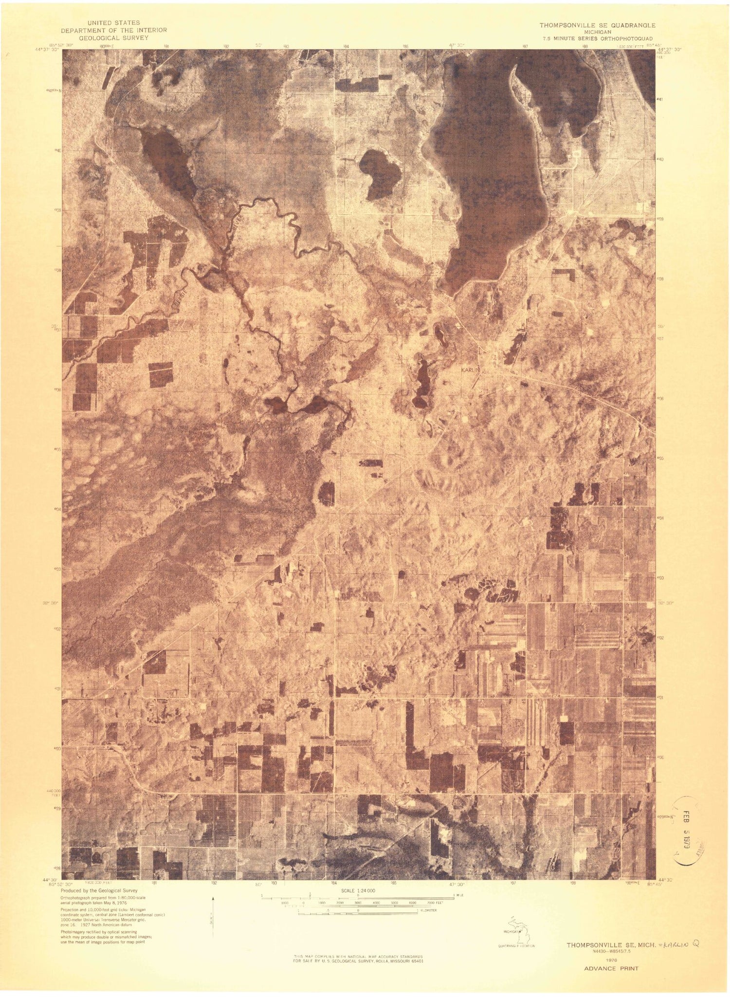
Historical USGS topographic quad map of Karlin in the state of Michigan. Map scale may vary for some years, but is generally around 1:24,000. Print size is approximately 24" x 27"
This quadrangle is in the following counties: Benzie, Grand Traverse, Manistee, Wexford.
The map contains contour lines, roads, rivers, towns, and lakes. Printed on high-quality waterproof paper with UV fade-resistant inks, and shipped rolled.
Contains the following named places: Bass Lake, De Lorme Cemetery, Grant Church, Grant Methodist Cemetery, Grant Township Cemetery, Grass Lake, Grass Lake Campground, Grass Lake Creek, Green Lake, Green Lake Airport, Griner School, Holy Family Cemetery, Interlochen Green Lake Rustic Campground, Karlin, Karlin Post Office, Karlin Station, Kasson Post Office, Mud Lake, Nessen City Census Designated Place, Pavlovic Corner, Pickerel Creek, Ramsay School, Round Lake, Township of Grant, Twin Lake, Twin Mountains, Upper Twin Lake, Wormwood Post Office