MyTopo
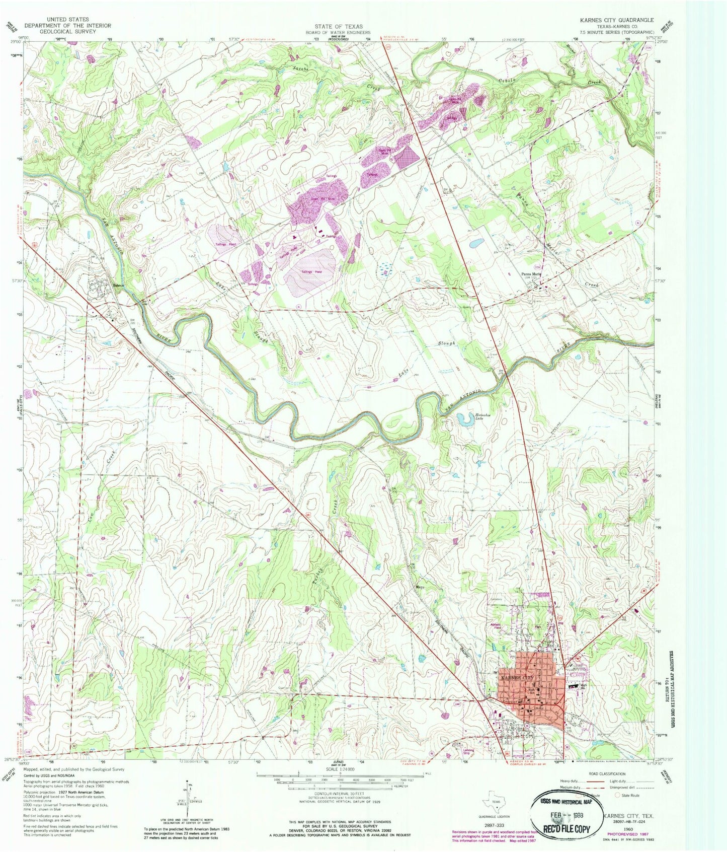
Classic USGS Karnes City Texas 7.5'x7.5' Topo Map
Couldn't load pickup availability
Historical USGS topographic quad map of Karnes City in the state of Texas. Map scale may vary for some years, but is generally around 1:24,000. Print size is approximately 24" x 27"
This quadrangle is in the following counties: Karnes.
The map contains contour lines, roads, rivers, towns, and lakes. Printed on high-quality waterproof paper with UV fade-resistant inks, and shipped rolled.
Contains the following named places: City of Karnes City, Cow Creek, First Baptist Church, First Presbyterian Church, Highland Park, Hobson, Hobson Post Office, Horseshoe Lake, Jacobs Creek, Karnes City, Karnes City - City Hall, Karnes City High School, Karnes City Junior High School, Karnes City Police Department, Karnes City Post Office, Karnes City Refinery, Karnes City Volunteer Fire Department, Karnes County Courthouse, Karnes County Jail, Karnes County Sheriff's Department, Karnes County Sheriff's Office, Lake Slough, Mayo, Mulifest Creek, Panna Maria, Panna Maria Historic District, Panna Maria Post Office, Roger E Sides Elementary School, Saint Cornelius Catholic Church, Saint Mary Cemetery, Saint Pauls Lutheran Church, Turkey Creek, ZIP Codes: 78117, 78144