MyTopo
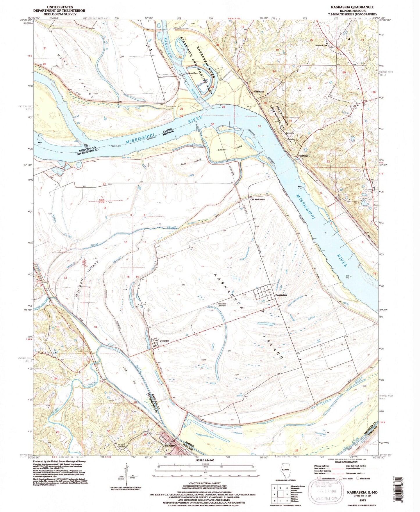
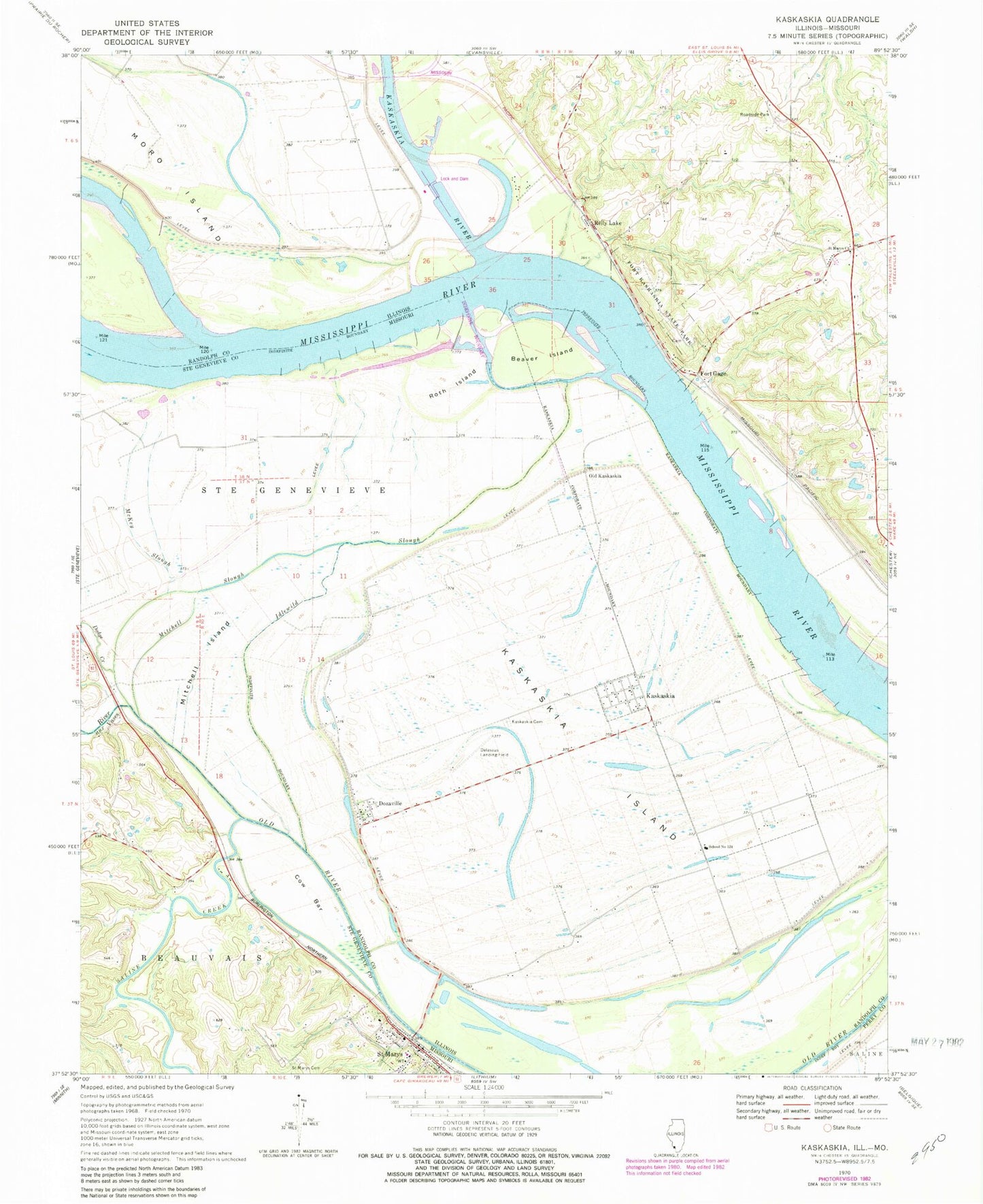
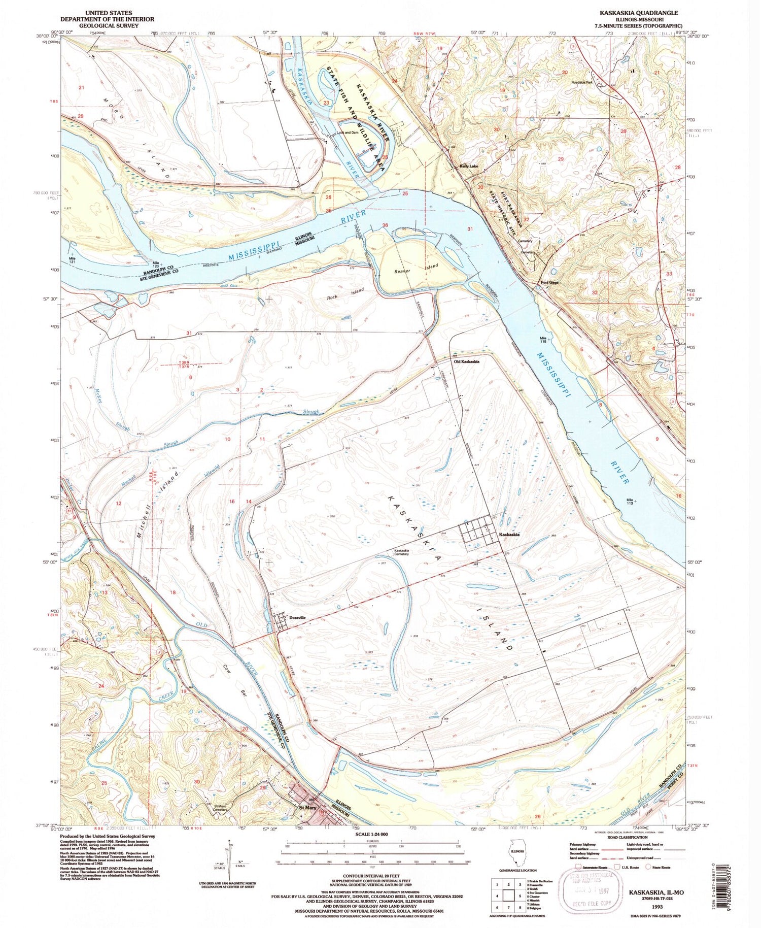
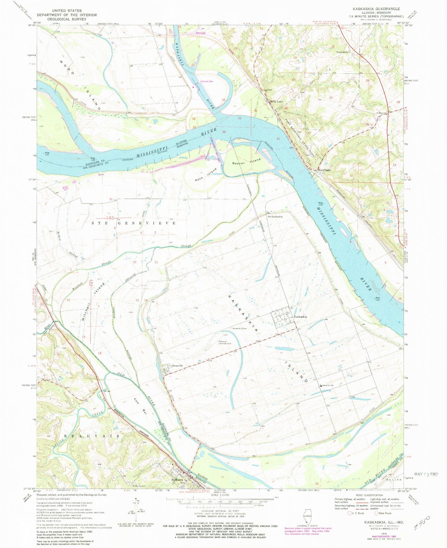
Classic USGS Kaskaskia Illinois 7.5'x7.5' Topo Map
Couldn't load pickup availability
Historical USGS topographic quad map of Kaskaskia in the states of Illinois, Missouri. Map scale may vary for some years, but is generally around 1:24,000. Print size is approximately 24" x 27"
This quadrangle is in the following counties: Perry, Randolph, Ste. Genevieve.
The map contains contour lines, roads, rivers, towns, and lakes. Printed on high-quality waterproof paper with UV fade-resistant inks, and shipped rolled.
Contains the following named places: Beaver Island, Cain Hill School, Cow Bar, Delassus Landing Field, Dodge Creek, Dozaville, Farmers Landing, Fort Gage, Fort Kaskaskia, Fort Kaskaskia State Park, French Colonial Historic District, Hicks, Idlewild Slough, Kaskaskia, Kaskaskia Cemetery, Kaskaskia Election Precinct, Kaskaskia Island, Kaskaskia Lock and Dam, Kaskaskia River, Kaskaskia River Navigation Pool, Las Salinas, McKey Slough, Mitchell Island, Mitchell Slough, Moro Chute, Moro Island, Oak Ridge School, Okaw Landing, Old Kaskaskia, Old Sainte Genevieve, Pierre Menard Home Historic Site, Reily Lake, River aux Vases, Roth Island, Saint Mary, Saint Mary Police Department, Saint Mary Post Office, Saint Marys Bend, Saint Marys Cemetery, Saint Marys Church, Saline Creek, School Number 124, Village of Kaskaskia


