MyTopo
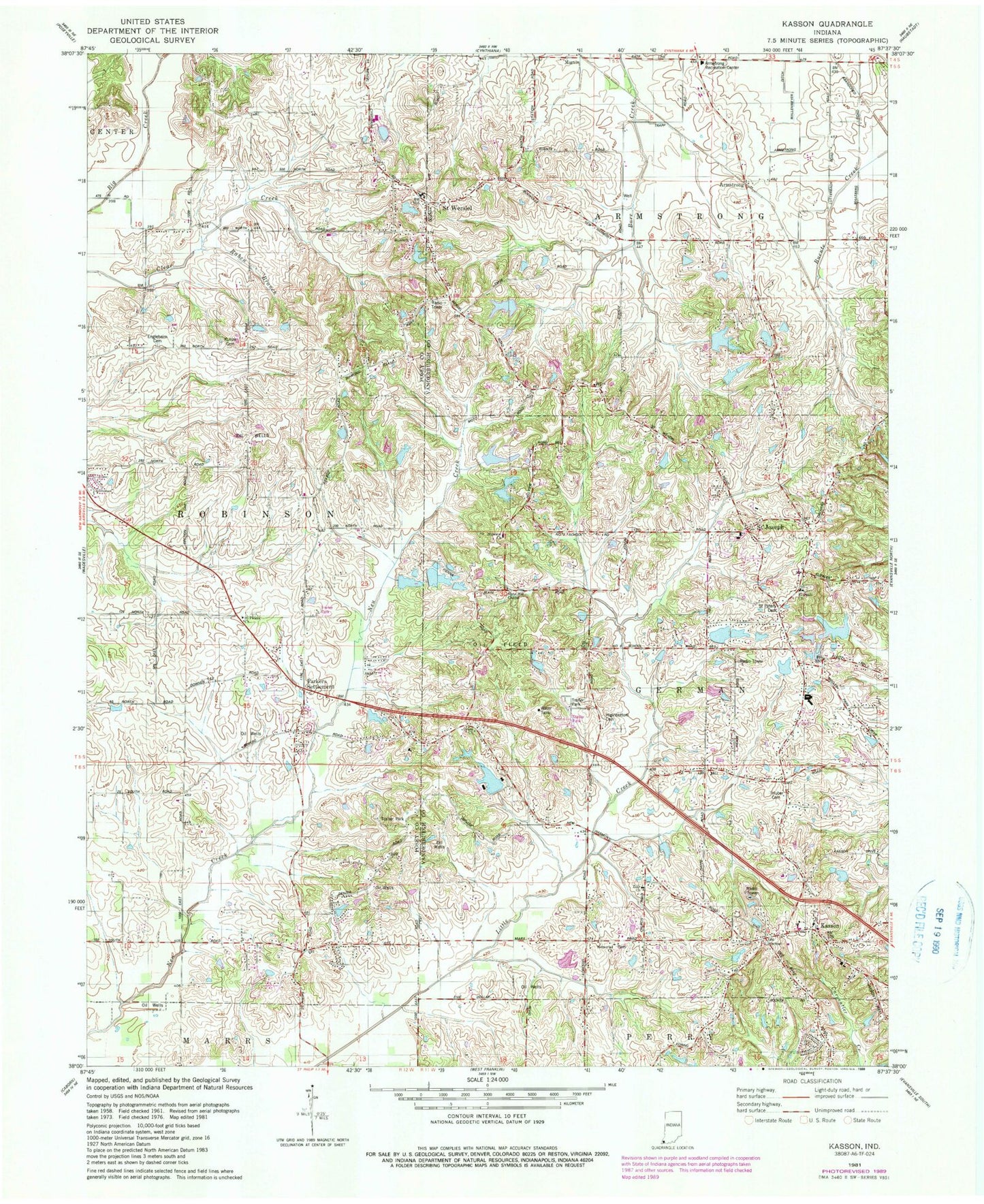
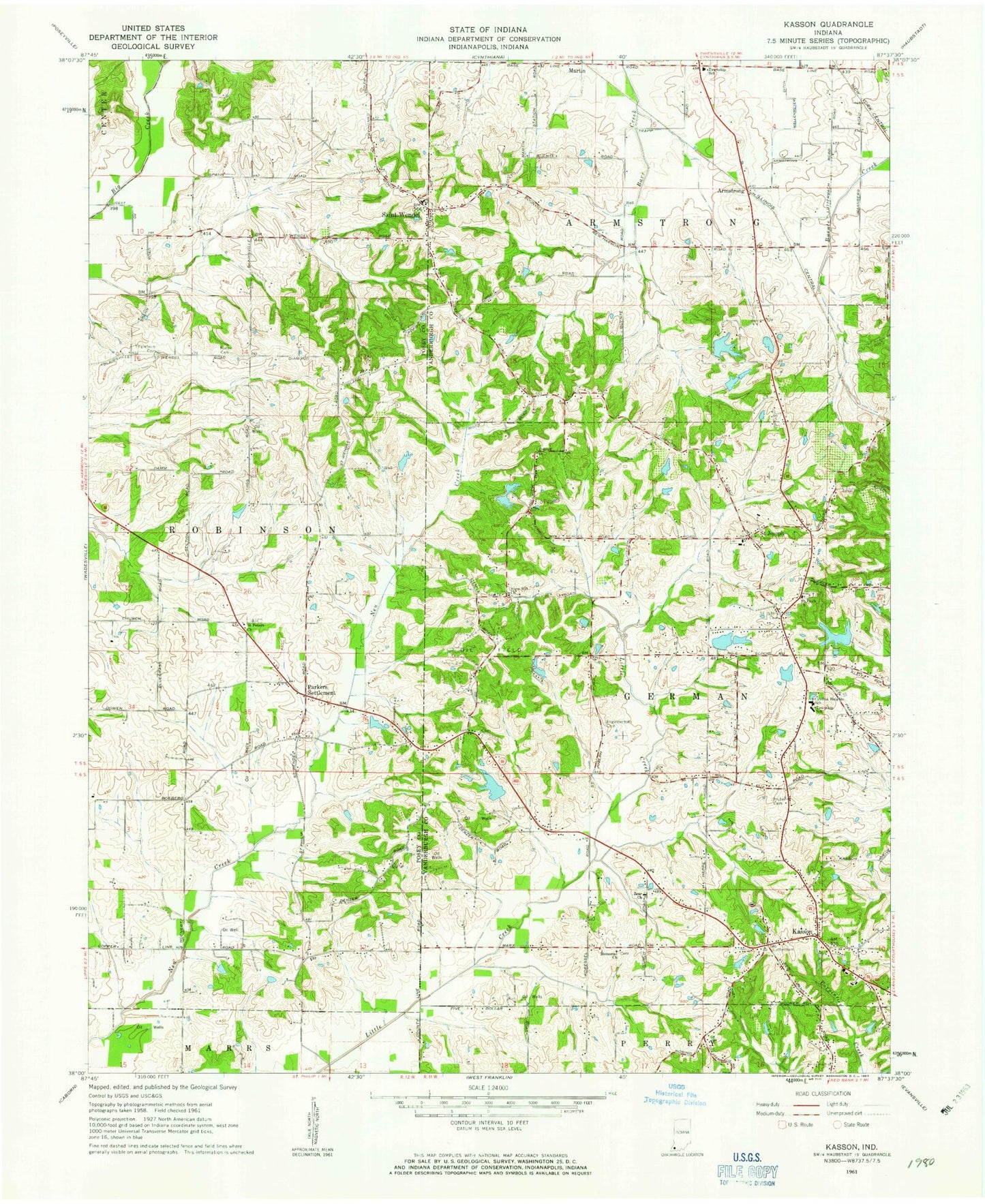
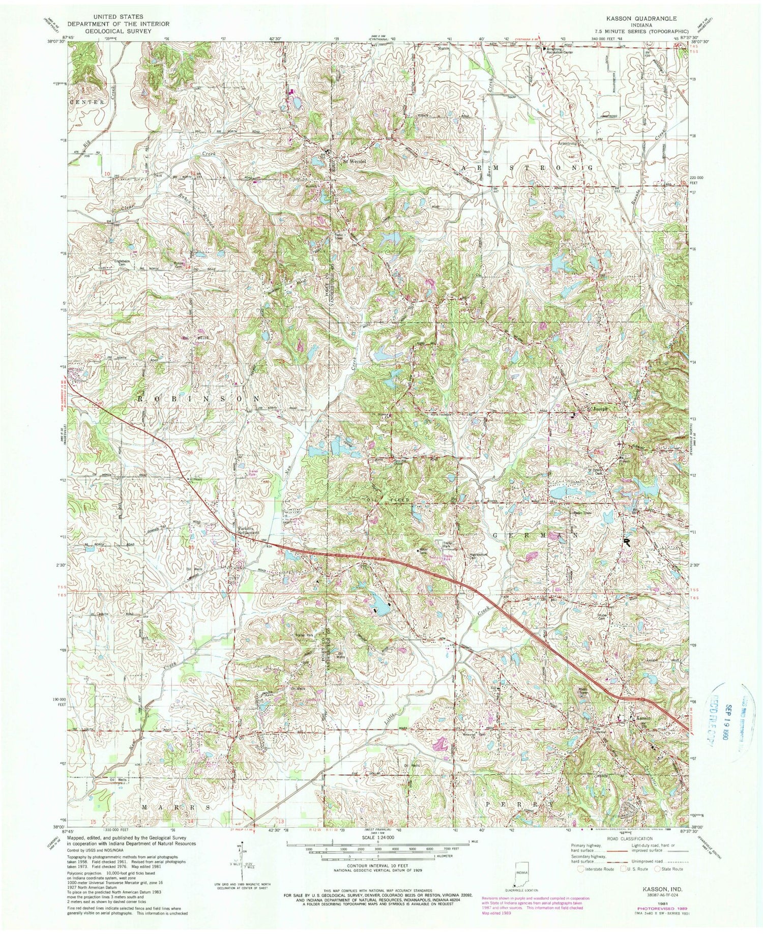
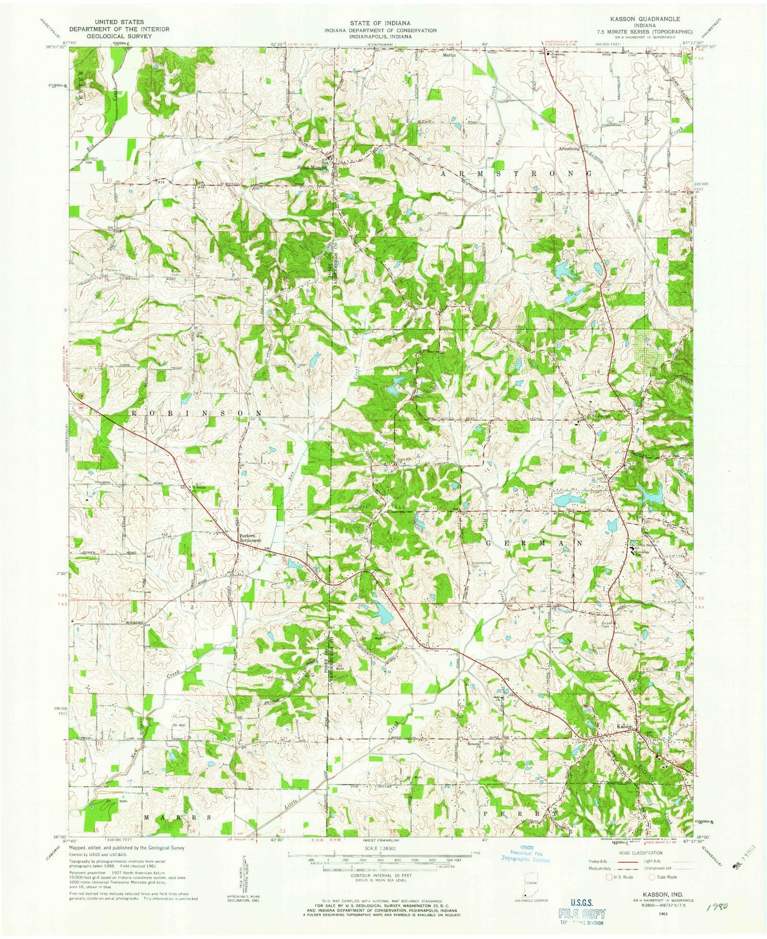
Classic USGS Kasson Indiana 7.5'x7.5' Topo Map
Couldn't load pickup availability
Historical USGS topographic quad map of Kasson in the state of Indiana. Map scale may vary for some years, but is generally around 1:24,000. Print size is approximately 24" x 27"
This quadrangle is in the following counties: Posey, Vanderburgh.
The map contains contour lines, roads, rivers, towns, and lakes. Printed on high-quality waterproof paper with UV fade-resistant inks, and shipped rolled.
Contains the following named places: Armstrong, Caney Creek, Crossroads, Cynthia Heights Elementary and Junior High School, Edgewater Lake, Edgewater Lake Dam, Engleheim Cemetery, German Township Fire Department Station 8, German Township Fire Department Station 9, Harold Mann Lake, Harold Mann Lake Dam, Higinbottom Cemetery, Huber Cemetery, J & S Field, Kasson, Koester Field, Kunze Cemetery, Lockyear Airport, Martin, Mater Dei Provincial Lake, Mater Dei Provincial Lake Dam, Memorial Church, North Estates Lake, North Lake Estates Lake Dam, Parkers Settlement, Parkers Settlement Census Designated Place, Plugger Airport, Raben Branch, Saint Joseph, Saint Pauls Church, Saint Peters Church, Saint Peters Lutheran Church Cemetery, Saint Wendel, Schnake Lake, Schnake Lake Dam, Slate Hill Church, Township of German, Township of Robinson, Wallenmeyer Ditch, Zoar Church, ZIP Code: 47720


