
MyTopo
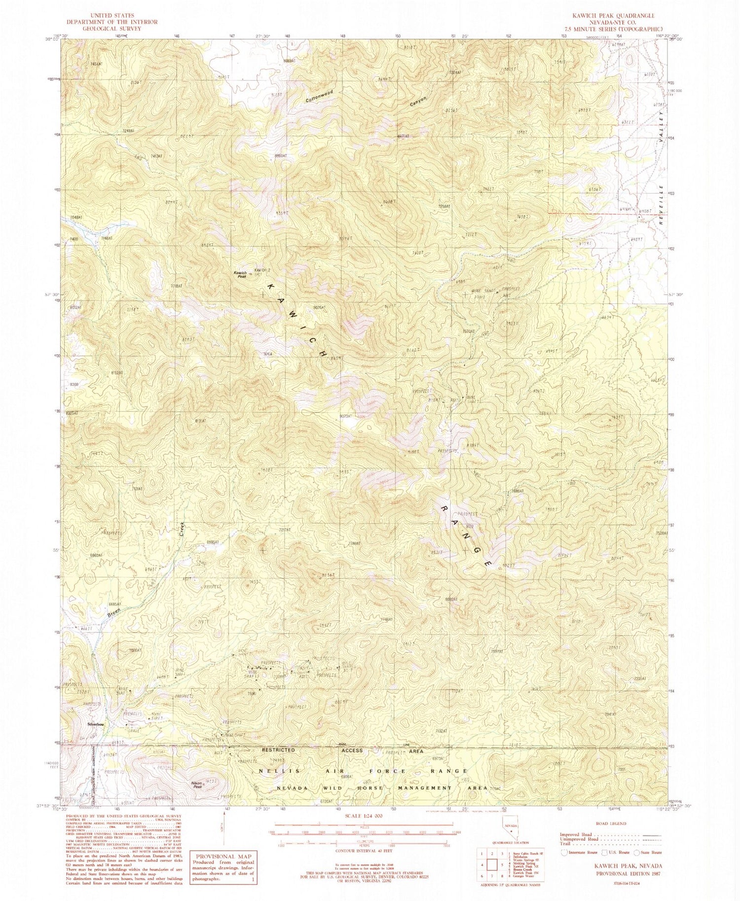
Classic USGS Kawich Peak Nevada 7.5'x7.5' Topo Map
Couldn't load pickup availability
Historical USGS topographic quad map of Kawich Peak in the state of Nevada. Map scale may vary for some years, but is generally around 1:24,000. Print size is approximately 24" x 27"
This quadrangle is in the following counties: Nye.
The map contains contour lines, roads, rivers, towns, and lakes. Printed on high-quality waterproof paper with UV fade-resistant inks, and shipped rolled.
Contains the following named places: Blue Horse Mine, Breen Ranch, Catlin Mine, Eden, Eden Creek, Eden Creek Ranch, Eden Mine, Eden Mining District, Harriman, Heenan Water, Hillside Mine, Indian Ranch, Kawich Peak, Kawich Range, Nevada Triumph Mine, Nixon Peak, Oro Cache Mine, Pedro Spring, Reveille Mill Spring, Rose Spring, Silver Bow Post Office, Silver Glance Mine, Silverbow, Silverbow Mining District


