MyTopo
Classic USGS Keanakolu Hawaii 7.5'x7.5' Topo Map
Couldn't load pickup availability
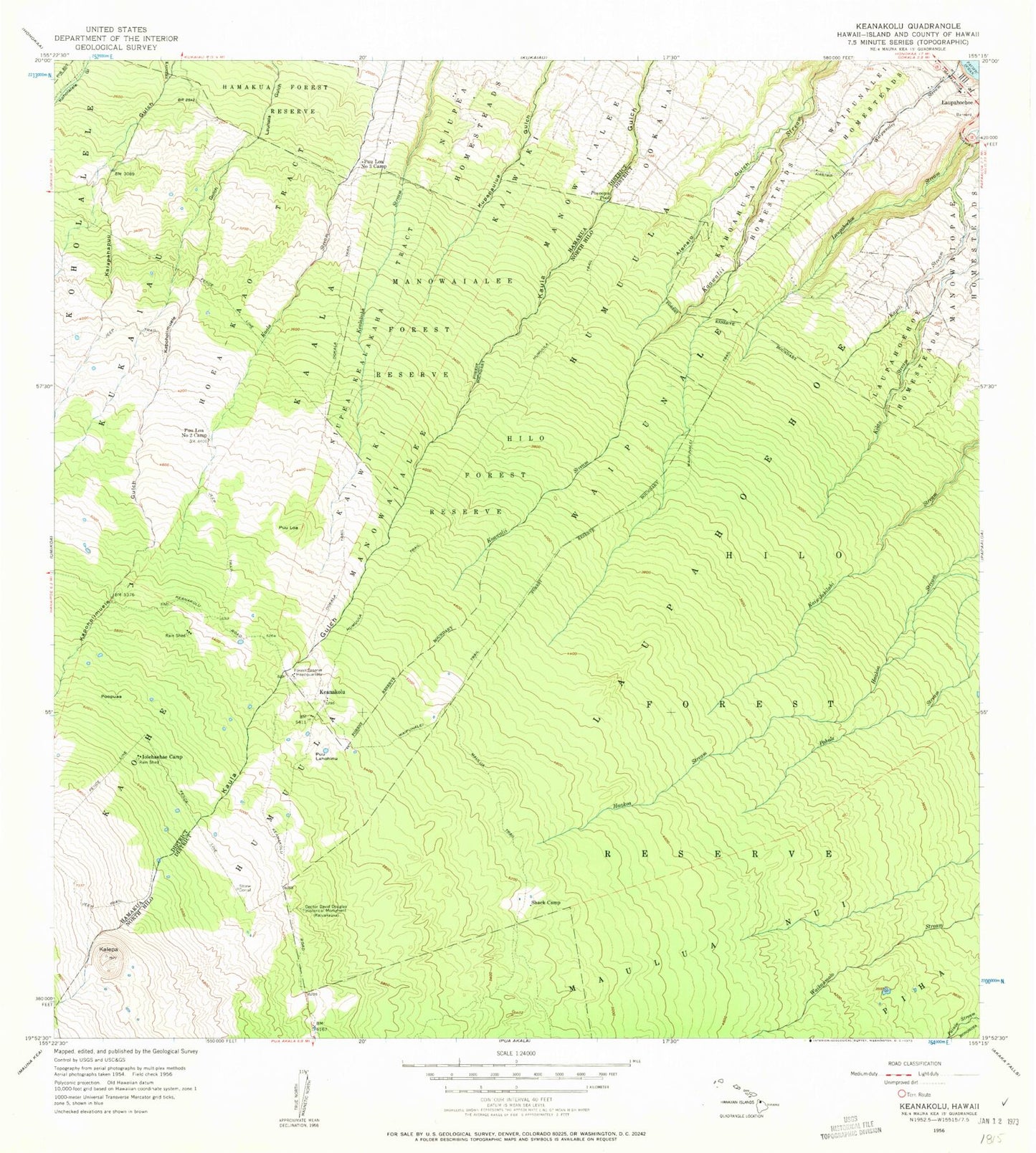
Historical USGS topographic quad map of Keanakolu in the state of Hawaii. Map scale may vary for some years, but is generally around 1:24,000. Print size is approximately 24" x 27"
This quadrangle is in the following counties: Hawaii.
The map contains contour lines, roads, rivers, towns, and lakes. Printed on high-quality waterproof paper with UV fade-resistant inks, and shipped rolled.
Contains the following named places: Alenaio Gulch, Doctor David Douglas Historical Monument, Ho'ea-Ka'ao Tract, Humu'ula Trail, 'Iolehaehae Camp, Ka'ala, Kahoahuna Homesteads, Kalepa, Ka'ohe Six, Kapoholimu'ele Gulch, Keanakolu, Keanakolu Ranger Station, Kuka'iau, Laupahoehoe, Laupahoehoe Homesteads, Manowaialee, Manowaialee Forest Reserve, Maulua Nui, Niupea Homesteads, Niupea-Kealakaha Tract, 'O'okala Trail, Paeoopu Pool, Piha, Po'opua'a, Pu'ulahohinu, Pu'uloa, Pu'uloa Number Three Camp, Pu'uloa Number Two Camp, Shack Camp, Waipunalei, Waipunalei Airstrip, Waipunalei Homesteads, Waipunalei Trail, ZIP Codes: 96764, 96774