MyTopo
Classic USGS Kearney SW Missouri 7.5'x7.5' Topo Map
Couldn't load pickup availability
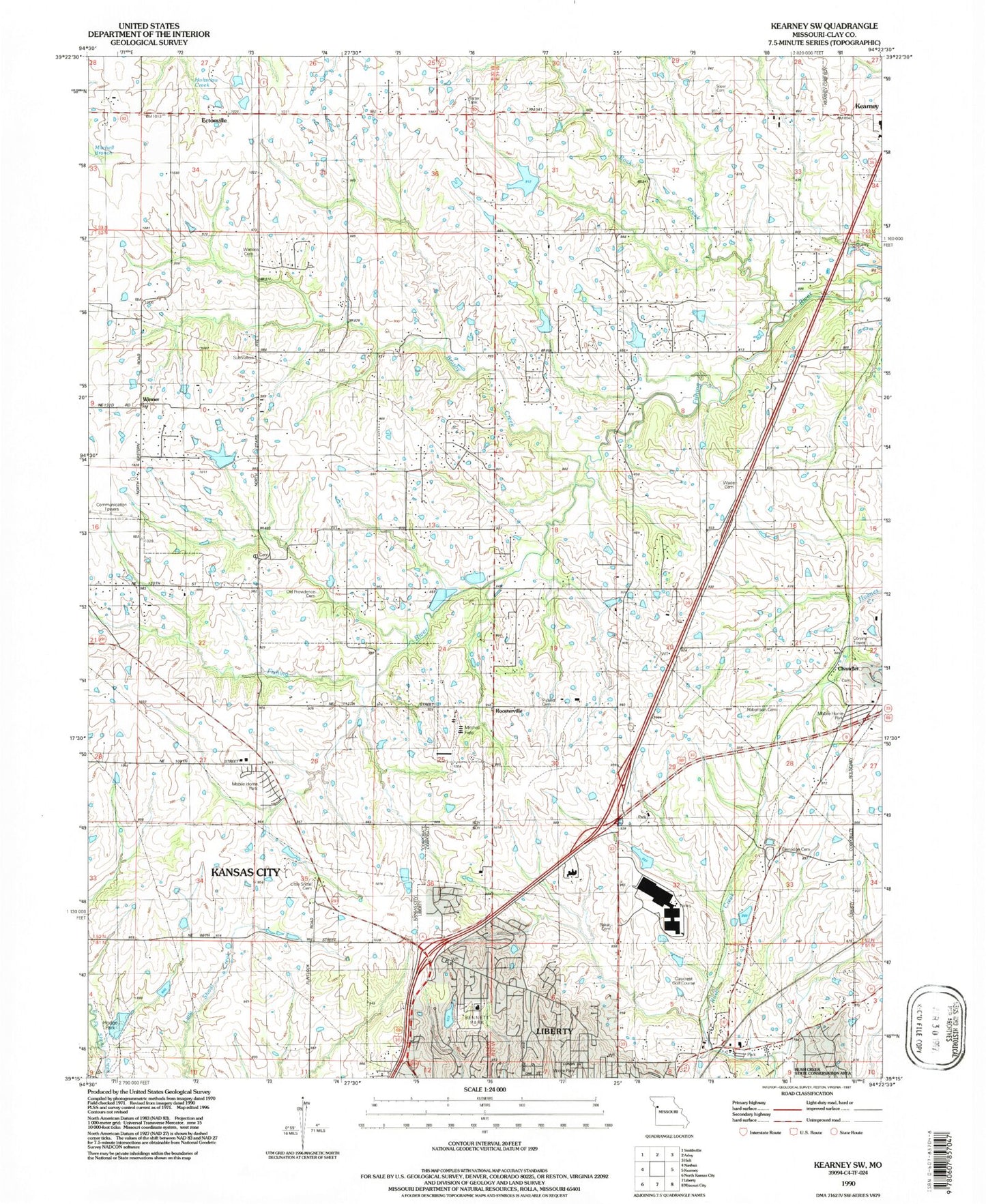
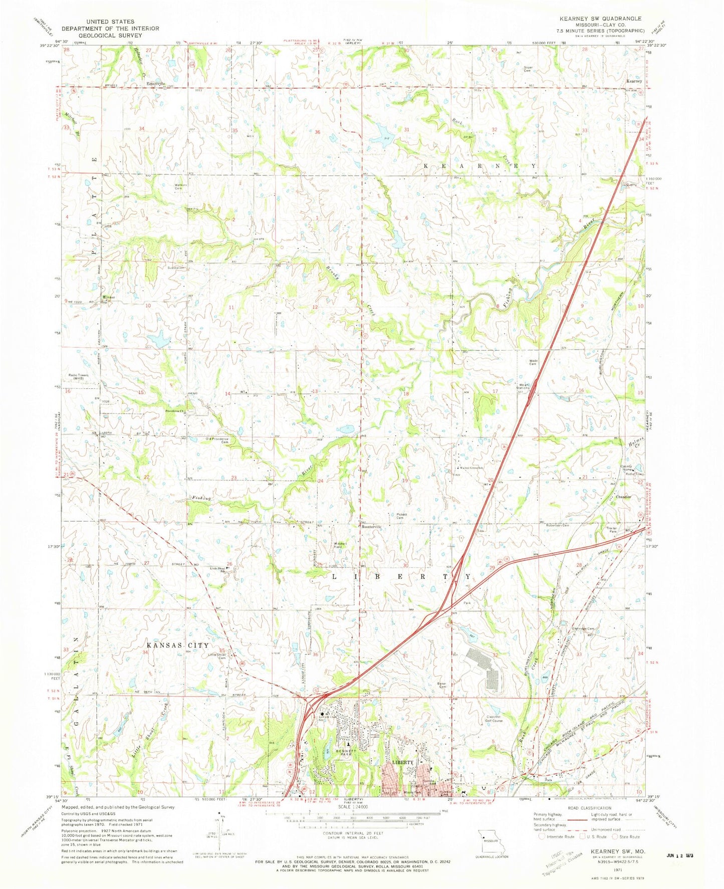
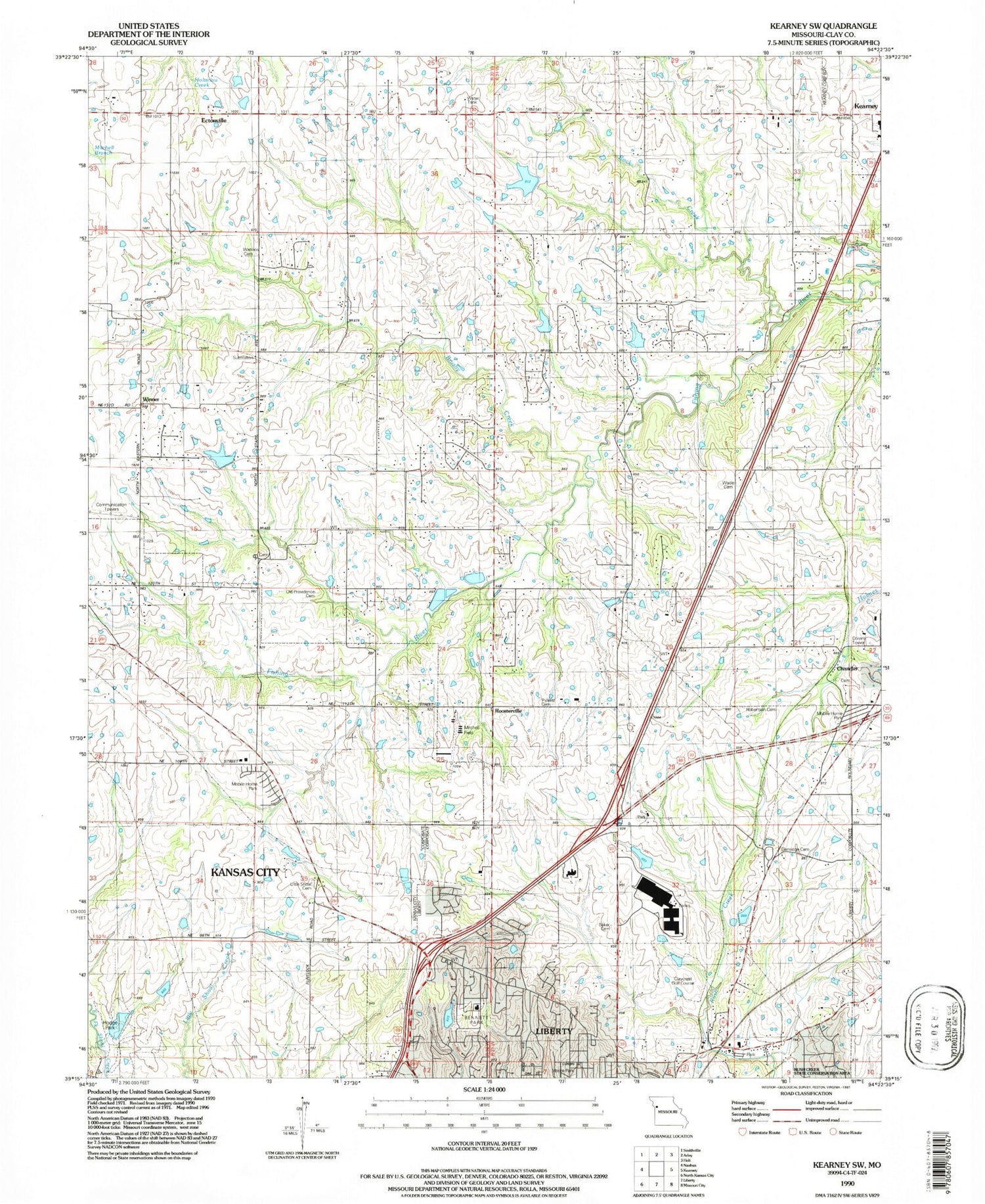
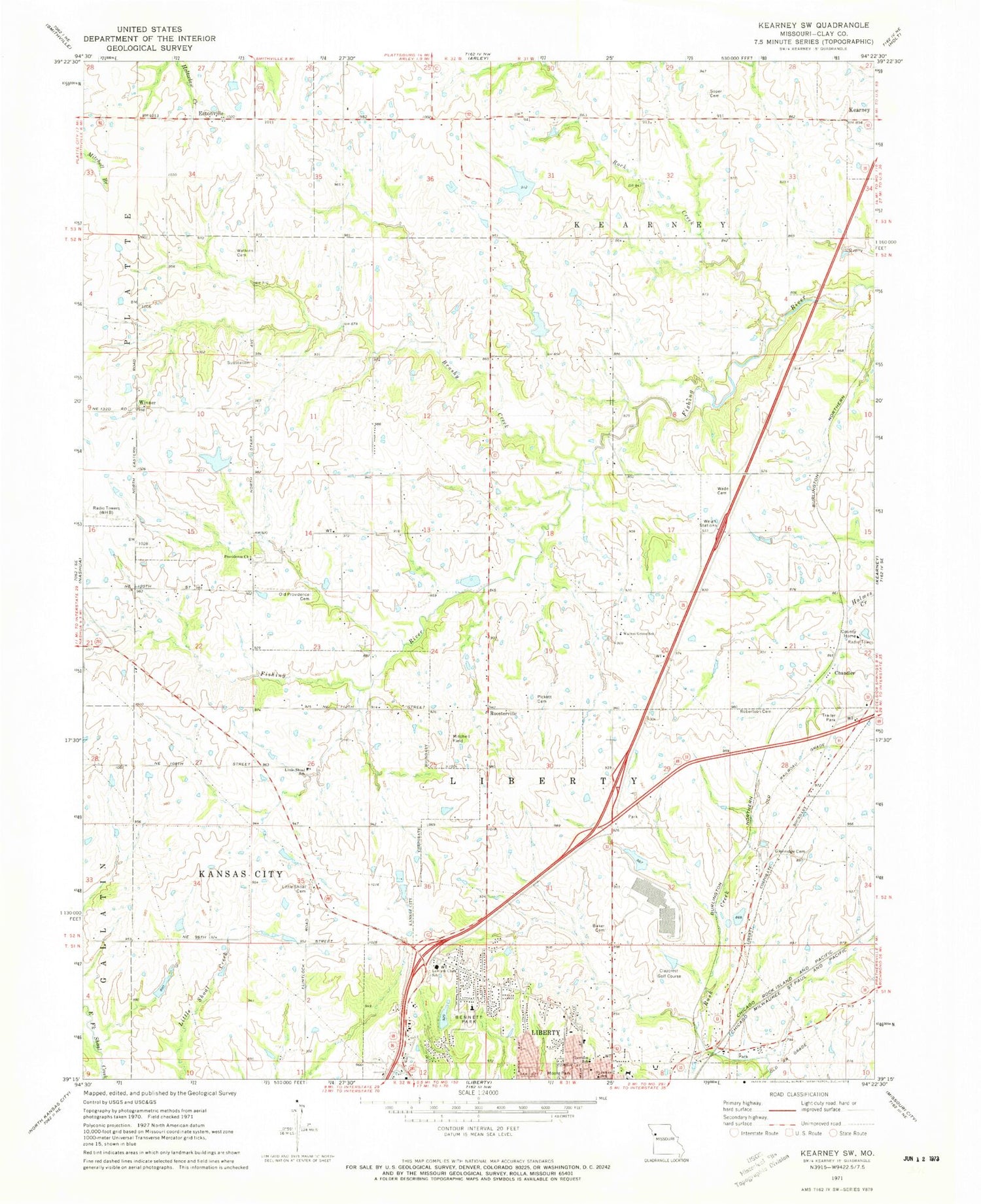
Historical USGS topographic quad map of Kearney SW in the state of Missouri. Map scale may vary for some years, but is generally around 1:24,000. Print size is approximately 24" x 27"
This quadrangle is in the following counties: Clay.
The map contains contour lines, roads, rivers, towns, and lakes. Printed on high-quality waterproof paper with UV fade-resistant inks, and shipped rolled.
Contains the following named places: Allen Lake Dam, Baker Evans Cemetery, Bement, Bennett Park, Brushy Creek, Chandler, Clay County, Claycrest Golf Course, Croat Lake Dam, Ectonville, Evans Hall, Francis School, Garrison School, Glenridge Cemetery, Hendren Dam, Hendron Lake, Hester Alumni Hall, Hodge Park Lake Dam, Holly Lake, Holly Lake Dam, Jones Hall, Kearney Police Department, Kellybrook Elementary School, Kitty Hawk Estates Airport, Lake Bar H Dam, Lewis, Lewis and Clark Elementary School, Liberty Fire Department Station 3, Liberty Hospital, Little Shoal Baptist Church, Little Shoal Cemetery, Little Shoal School, Melrose Hall, Moore Park, Number 177 Reservoir, Old Providence Cemetery, Pickett Cemetery, Pioneer Village, Prairie Home School, Proctor Lake Dam, Providence Church, Providence School, Robertson Cemetery, Rock Creek, Roosterville, Roosterville Airport, Saint James Roman Catholic Church, Semple Hall, Shoal Creek Elementary School, Soper Cemetery, Spratt Sports Complex, Township of Liberty, Wade Cemetery, Wagy School, Walnut Grove Primitive Baptist Church, Walnut Grove School, Warren Hills Elementary School, Watkins Cemetery, WHB-AM (Kansas City), Wilmar Ranch Lake, Winner, W-W Reservoir, ZIP Codes: 64068, 64157, 64167


