MyTopo
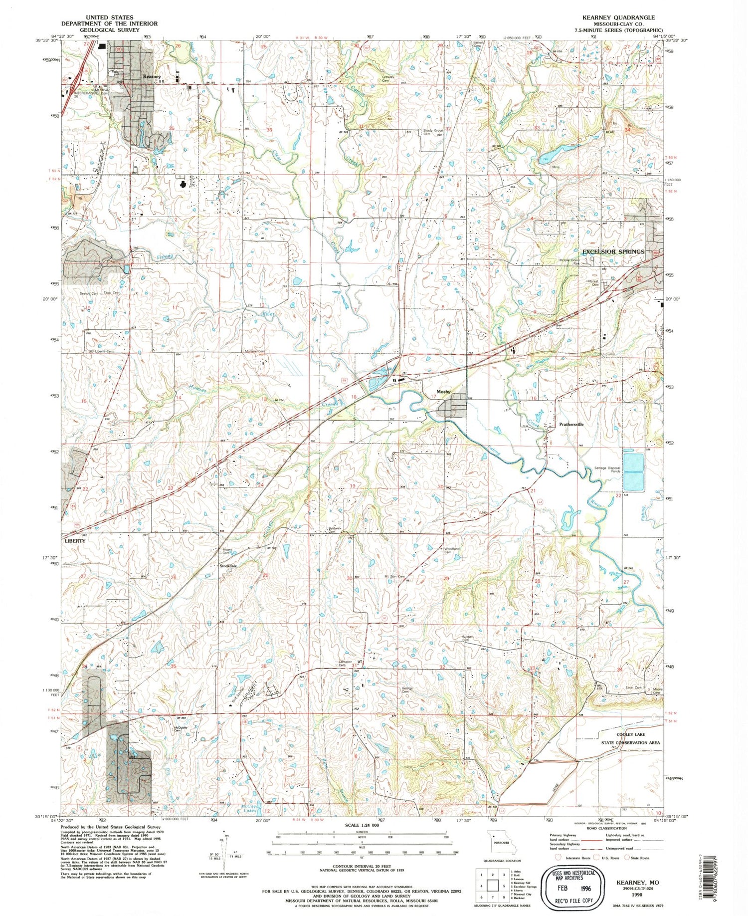
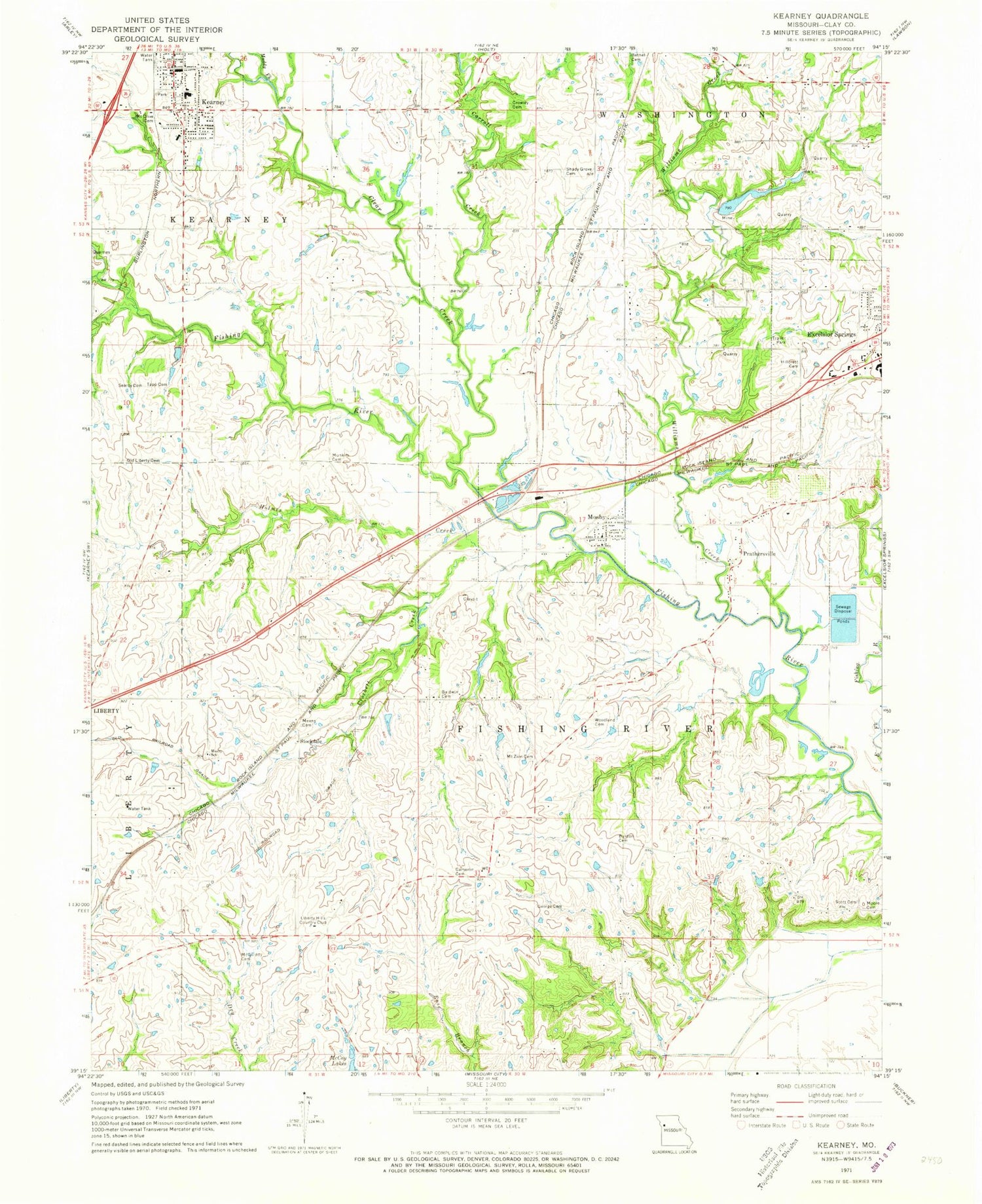
Classic USGS Kearney Missouri 7.5'x7.5' Topo Map
Couldn't load pickup availability
Historical USGS topographic quad map of Kearney in the state of Missouri. Map scale may vary for some years, but is generally around 1:24,000. Print size is approximately 24" x 27"
This quadrangle is in the following counties: Clay.
The map contains contour lines, roads, rivers, towns, and lakes. Printed on high-quality waterproof paper with UV fade-resistant inks, and shipped rolled.
Contains the following named places: Baldwin Cemetery, Bethel Presbyterian Cemetery, Buxton Cemetery, Cameron Cemetery, Cameron School, Carroll Creek, Carroll School, City of Kearney, City of Mosby, Clear Creek, Cooley Lake, Crockett Creek, Crowley Cemetery, Estes School, Excelsior Springs Middle School, Farrell School, Fishing River Baptist Church, Fishing River Fire Protection District, George Cemetery, Hillcrest Excelsior Cemetery, Holmes Creek, Jenkins School, Kearney, Kearney Elementary School, Kearney Fire and Rescue Protection District, Kearney High School, Kearney Intermediate School, Kearney Junior High School, Kearney Post Office, Liberty Hills Country Club, Lone Star Lake, Lone Star Lake Dam, Lunsford School, McQuiddy Cemetery, Means Cemetery, Midwest National Air Center, Moore Cemetery, Mosby, Mosby Police Department, Mosby Post Office, Mosby School, Mount Olivet Cemetery, Mount Zion Cemetery, Mount Zion Primitive Baptist Church, Muddy Fork, Munkirs Cemetery, Old Liberty Cemetery, Prathersville, Royal Wood Aerodrome Airport, Scott Cemetery, Shady Grove Cemetery, Shady Grove Church, Southview Elementary School, Stockdale, Summit Ridge School, Tapp Cemetery, Township of Fishing River, Village of Prathersville, Williams Creek, Williams Creek Watershed Dam Number 4, Woodland Cemetery, Woodland School, ZIP Code: 64060


