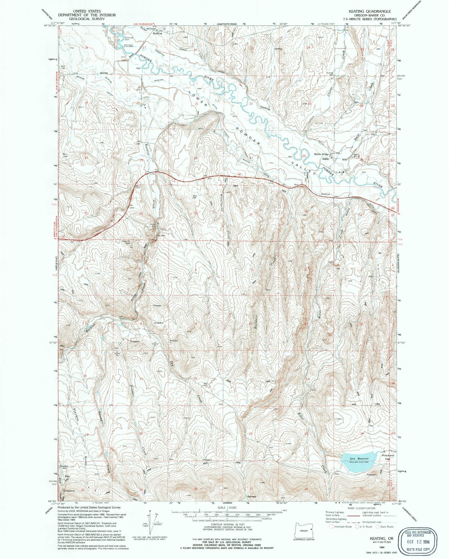
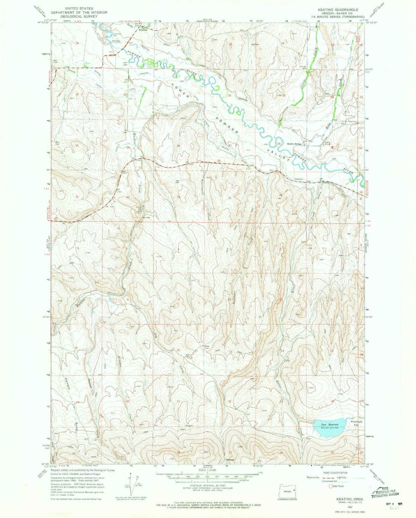
MyTopo
Classic USGS Keating Oregon 7.5'x7.5' Topo Map
Couldn't load pickup availability
Historical USGS topographic quad map of Keating in the state of Oregon. Map scale may vary for some years, but is generally around 1:24,000. Print size is approximately 24" x 27"
This quadrangle is in the following counties: Baker.
The map contains contour lines, roads, rivers, towns, and lakes. Printed on high-quality waterproof paper with UV fade-resistant inks, and shipped rolled.
Contains the following named places: Balm Creek, Boulder Creek, Bulldozer Creek, Clover Creek, Constance Reservoir, Cranston Ditch, Cranston Reservoir, Dry Creek, East Clover Creek, Keating, Keating Elementary School, Keating Grange Hall, Keating Post Office, Keating Rural Fire Protection District, Love Dam, Love Ditch, Love Reservoir, Lower Powder Valley, McCann Spring, Middle Bridge, Palmer, Perkins Ditch, Prichard Post Office, Ritter Creek, Ruckles Creek, Second Creek, Stevens Gulch, Tucker Creek, Waterspout Creek