MyTopo
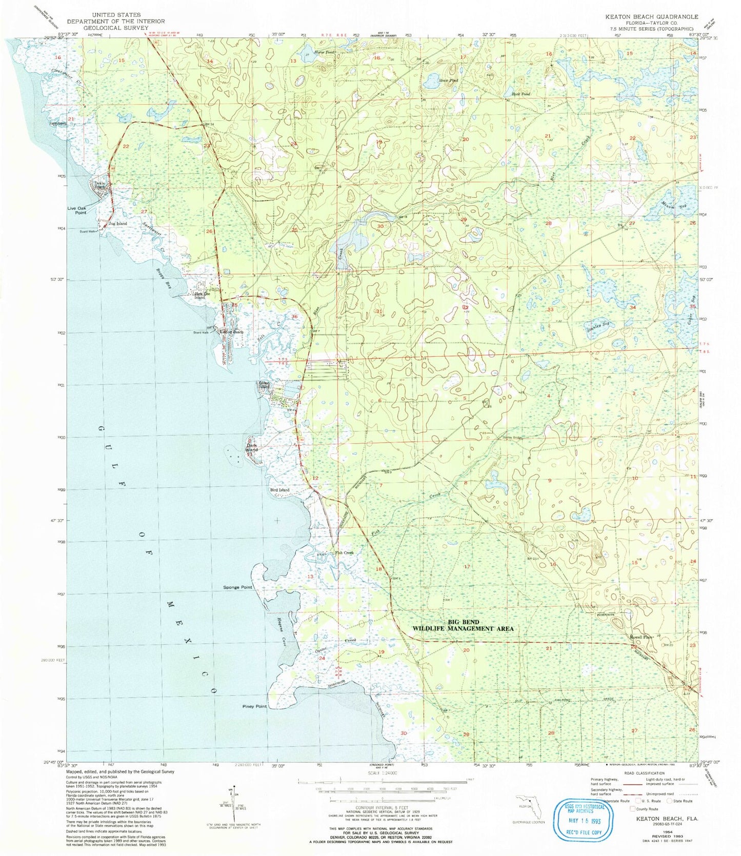
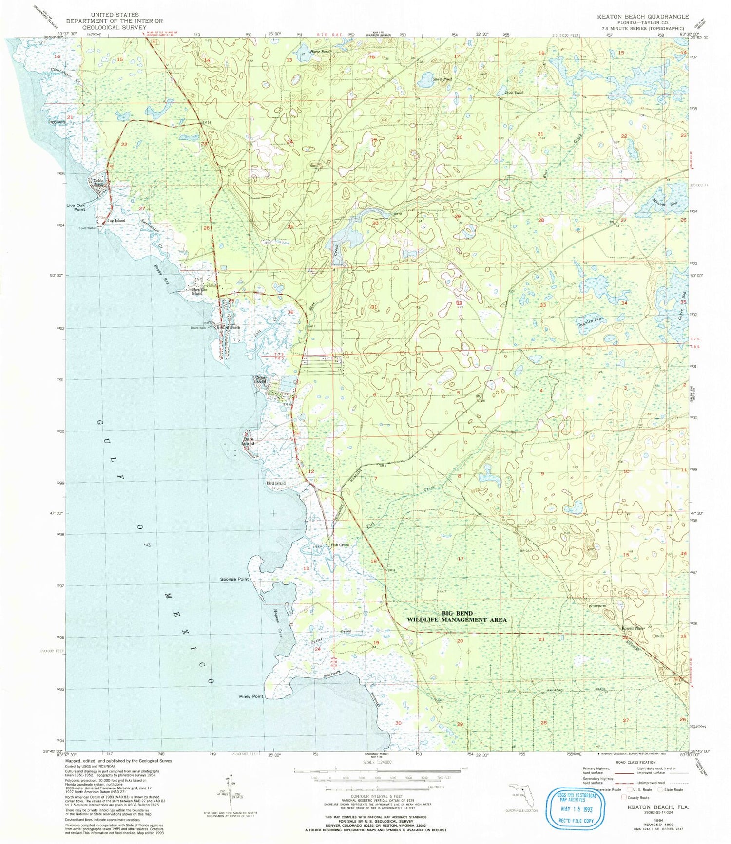
Classic USGS Keaton Beach Florida 7.5'x7.5' Topo Map
Couldn't load pickup availability
Historical USGS topographic quad map of Keaton Beach in the state of Florida. Map scale may vary for some years, but is generally around 1:24,000. Print size is approximately 24" x 27"
This quadrangle is in the following counties: Taylor.
The map contains contour lines, roads, rivers, towns, and lakes. Printed on high-quality waterproof paper with UV fade-resistant inks, and shipped rolled.
Contains the following named places: Bird Island, Blue Creek, Boggy Bay, Cedar Island, Coker Sog, Dark Island, Dekle Beach, Fish Creek, Hagens Cove, Horse Pond, Howell Place, Jack Lee Island, Jug Island, Keaton Beach, Live Oak Point, Minom Sog, Oyster Creek, Perry South Division, Piney Point, Rock Pond, Salt Creek, Shaw Pond, Sponge Point, Stanley Bridge, Stanley Sog, Sweetwater Creek, Sylvanmir Farms Airport