MyTopo
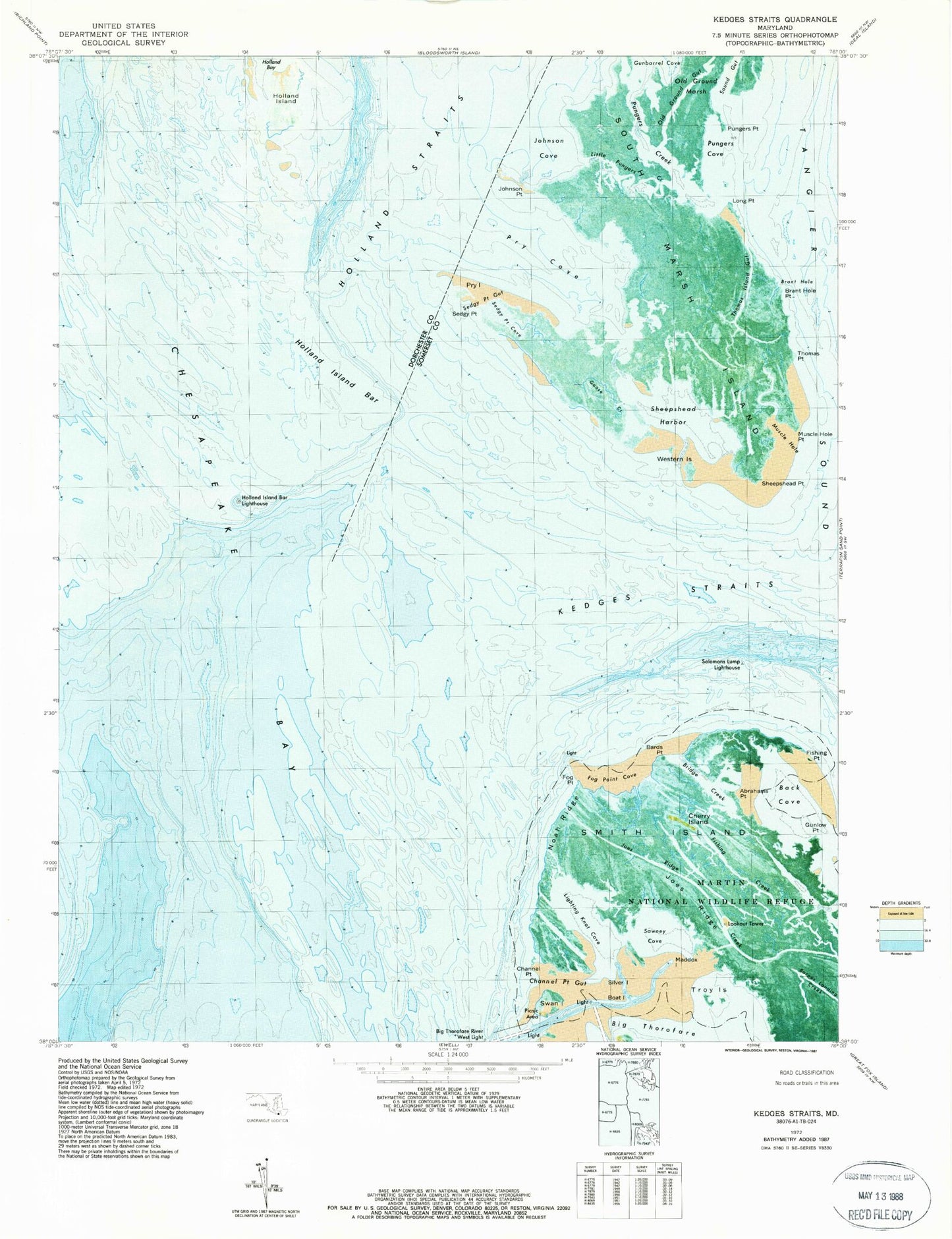
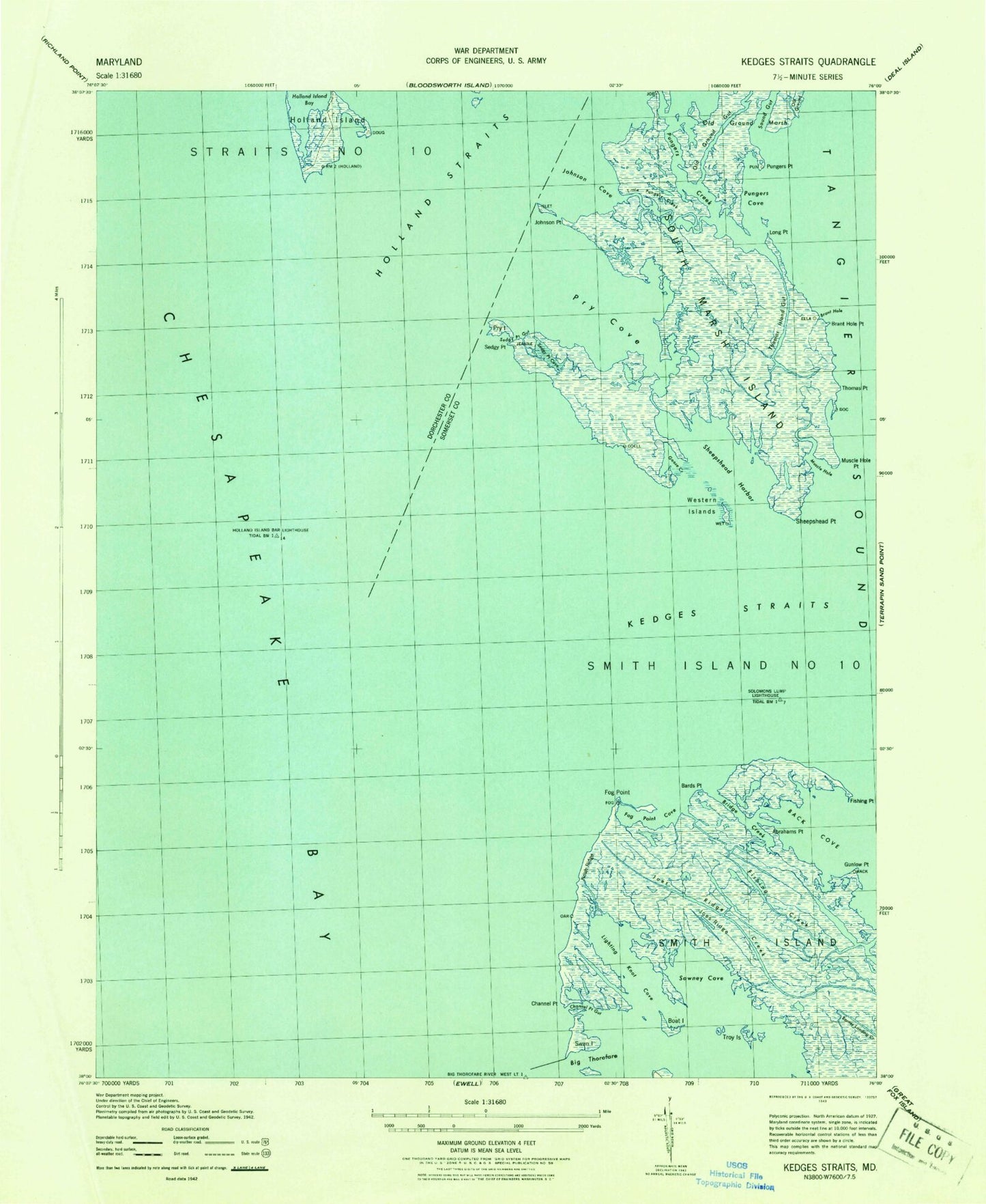
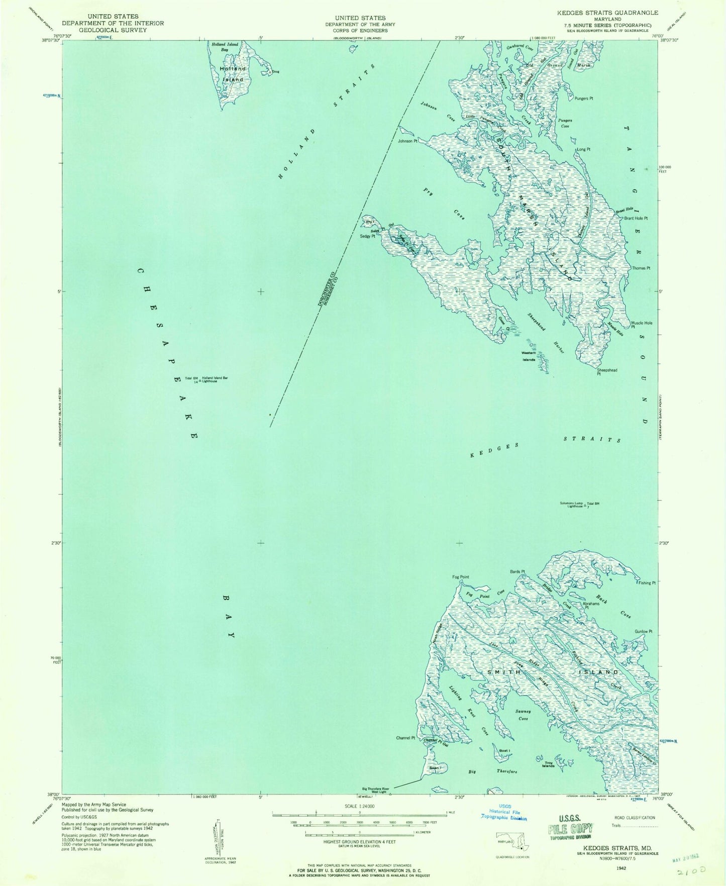
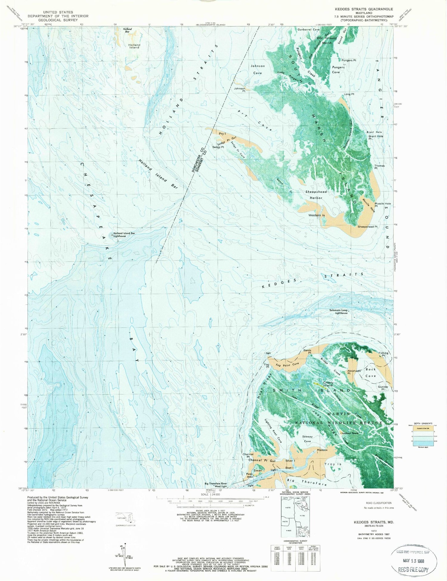
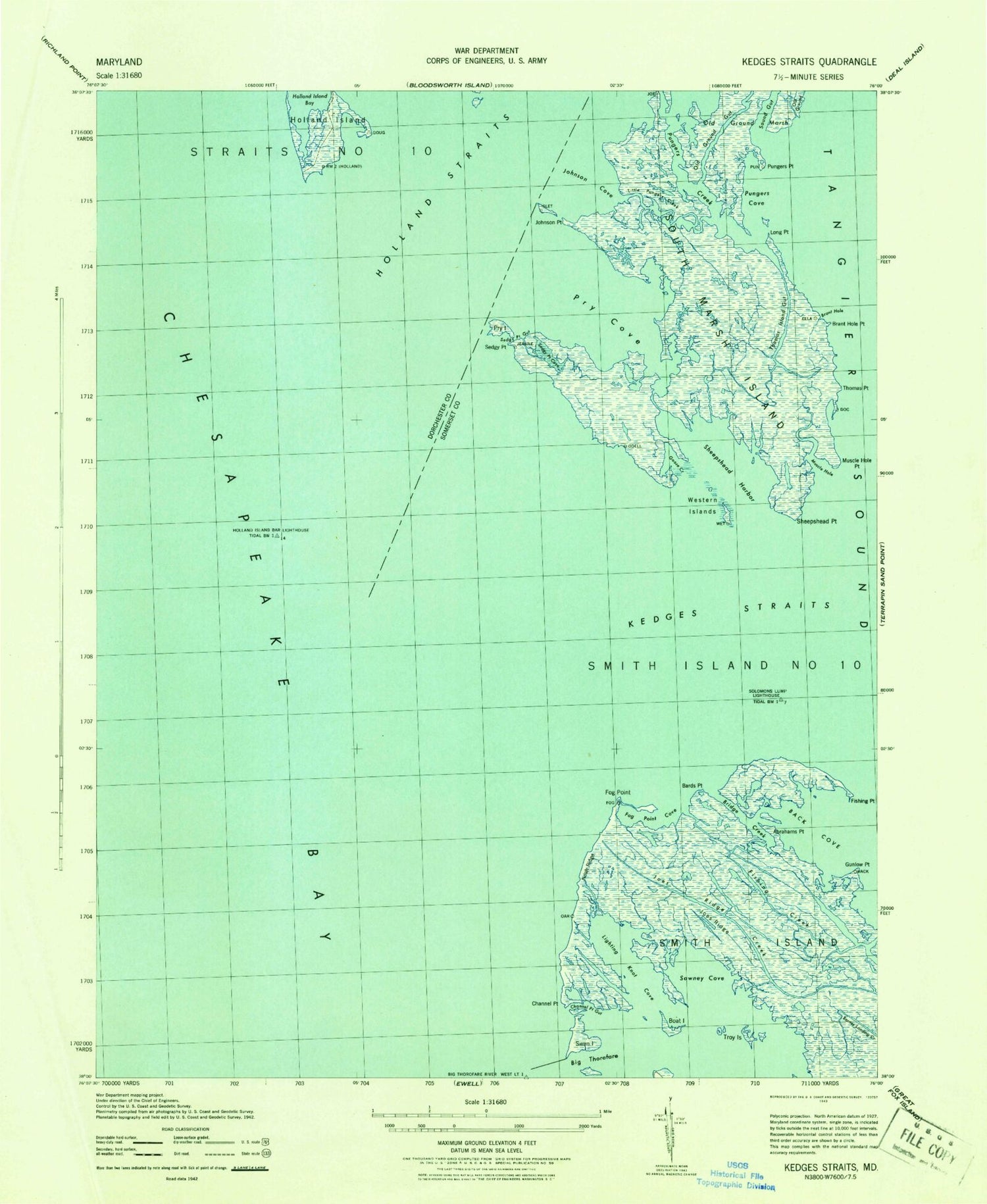
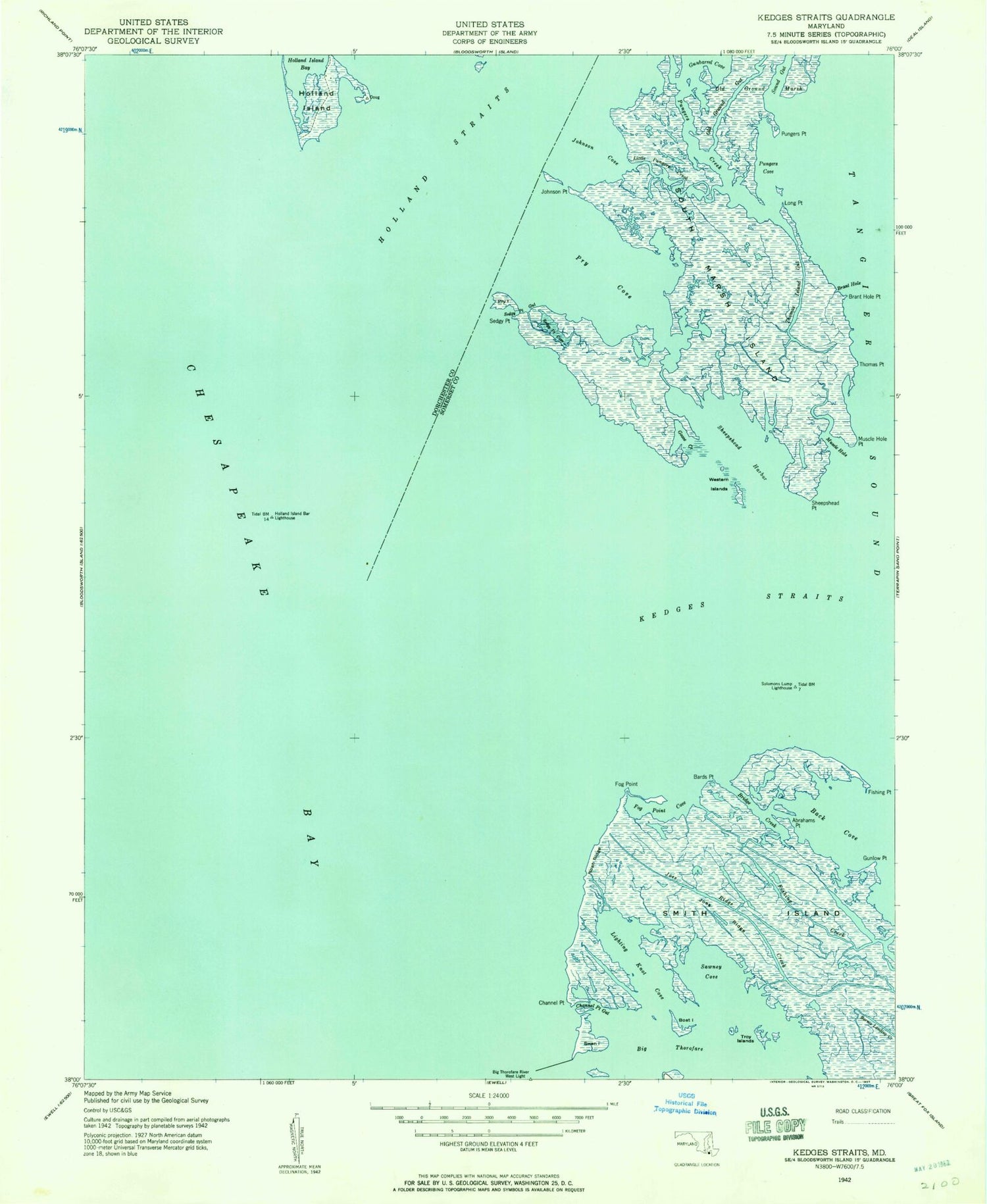
Classic USGS Kedges Straits Maryland 7.5'x7.5' Topo Map
Couldn't load pickup availability
Historical USGS topographic quad map of Kedges Straits in the state of Maryland. Map scale may vary for some years, but is generally around 1:24,000. Print size is approximately 24" x 27"
This quadrangle is in the following counties: Dorchester, Somerset.
The map contains contour lines, roads, rivers, towns, and lakes. Printed on high-quality waterproof paper with UV fade-resistant inks, and shipped rolled.
Contains the following named places: Bards Point, Big Thorofare River West Light, Boat Island, Brant Hole, Brant Hole Point, Bridge Creek, Channel Point, Channel Point Gut, Cherry Island, District 10 Smith Island, Fishing Creek, Fishing Point, Fog Point, Fog Point Cove, Goose Creek, Gunbarrel Cove, Gunlow Point, Holland Island, Holland Island Bar Lighthouse, Joes Ridge, Joes Ridge Creek, Johnson Cove, Johnson Point, Jones Island, Kedges Straits, Lighting Knot Cove, Little Pungers Creek, Long Point, Maddox Island, Martin National Wildlife Refuge, Muscle Hole, Muscle Hole Point, Musclehole Bar, Noah Ridge, North End Bottom, Old Ground, Old Ground Gut, Old Ground Marsh, Oyster Cove, Pry Cove, Pry Island, Pungers Cove, Pungers Creek, Pungers Point, Sedgy Point, Sedgy Point Cove, Sedgy Point Gut, Sheepshead Harbor, Sheepshead Point, Silver Island, Solomons Lump, Solomons Lump Lighthouse, Sound Gut, Swan Island, Swaney Cove, Thomas Island Gut, Thomas Point, Troy Island, Western Islands
