
MyTopo
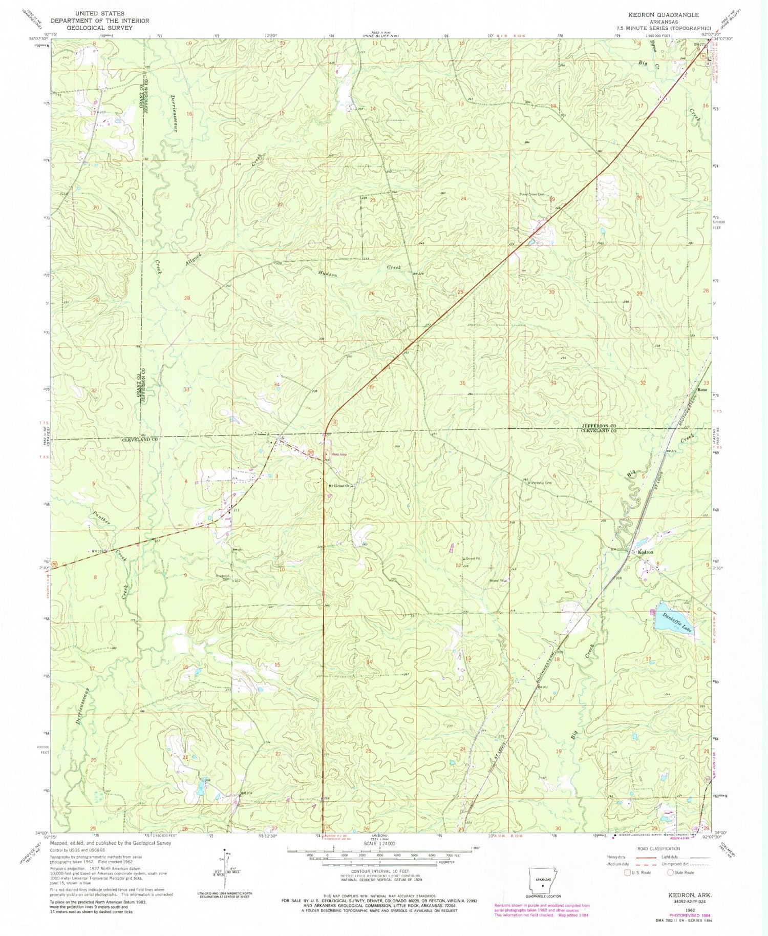
Classic USGS Kedron Arkansas 7.5'x7.5' Topo Map
Couldn't load pickup availability
Historical USGS topographic quad map of Kedron in the state of Arkansas. Map scale may vary for some years, but is generally around 1:24,000. Print size is approximately 24" x 27"
This quadrangle is in the following counties: Cleveland, Grant, Jefferson.
The map contains contour lines, roads, rivers, towns, and lakes. Printed on high-quality waterproof paper with UV fade-resistant inks, and shipped rolled.
Contains the following named places: Allgood Creek, Cabool, Dunkeffie Lake, Dyson Creek, Howard School, Hudson Creek, Kedron, Lake Dunkeffie Dam, Macedonia Cemetery, Mount Carnel Church, Panther Creek, Peace, Piney Grove Cemetery, Randolph Cemetery, Rone, Township of Jackson, Township of Niven, Township of Talladega, Y Fire Department Substation


