MyTopo
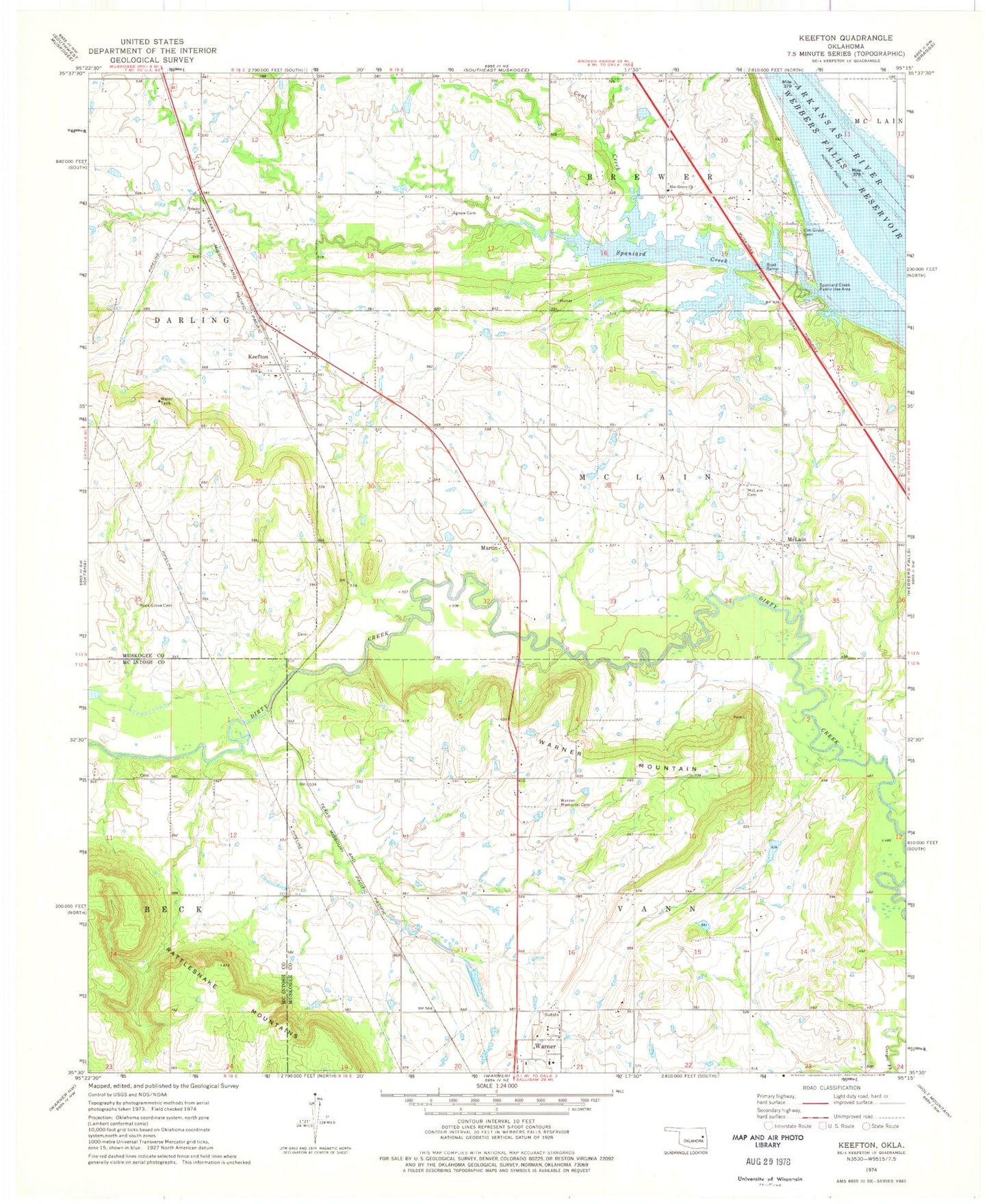
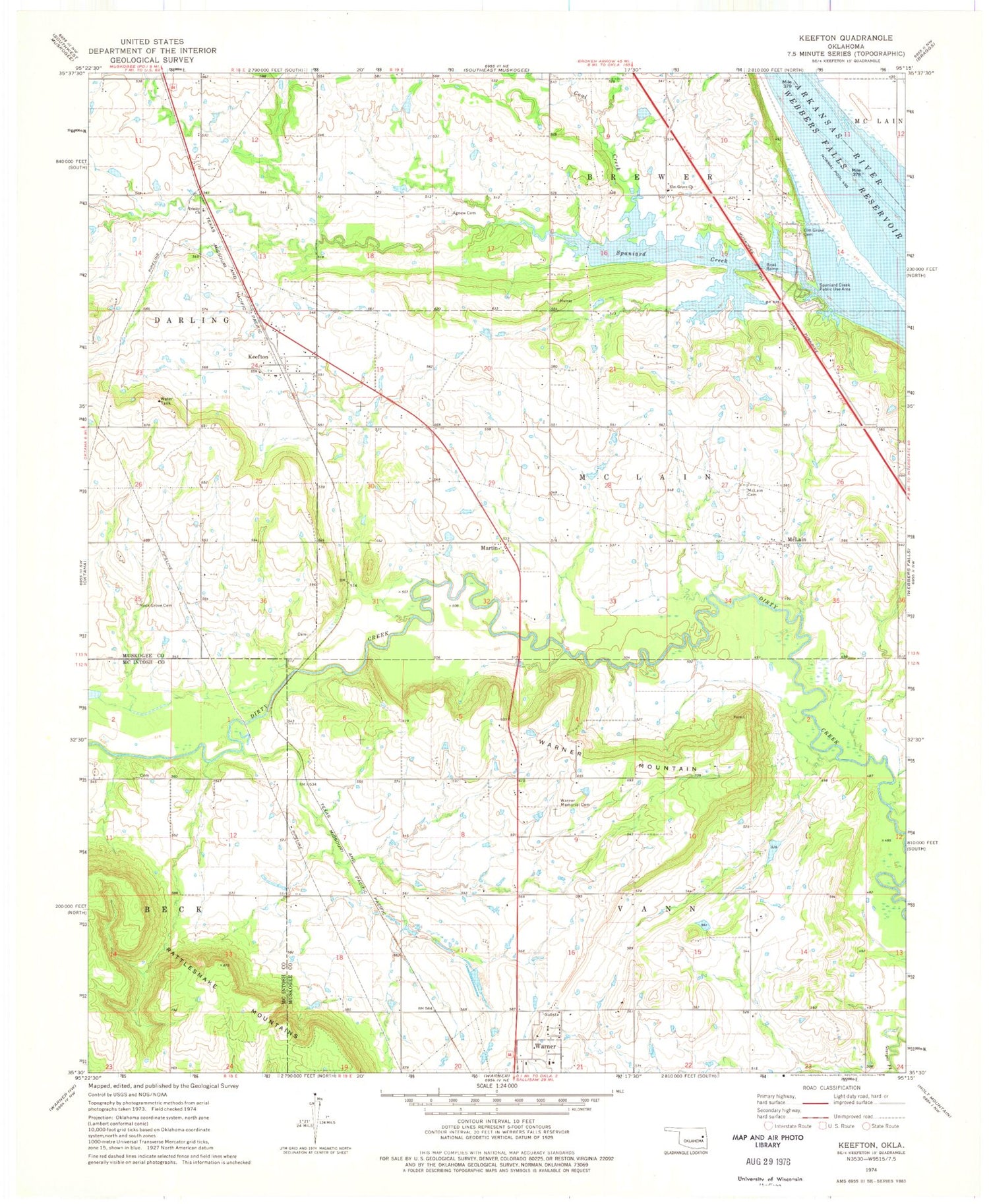
Classic USGS Keefton Oklahoma 7.5'x7.5' Topo Map
Couldn't load pickup availability
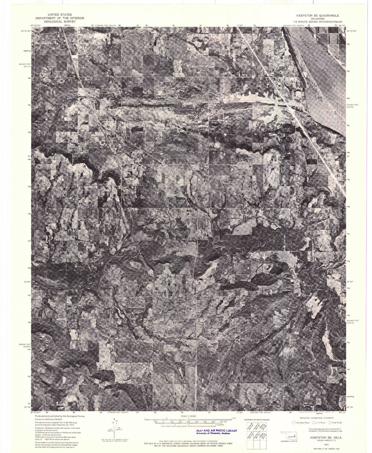
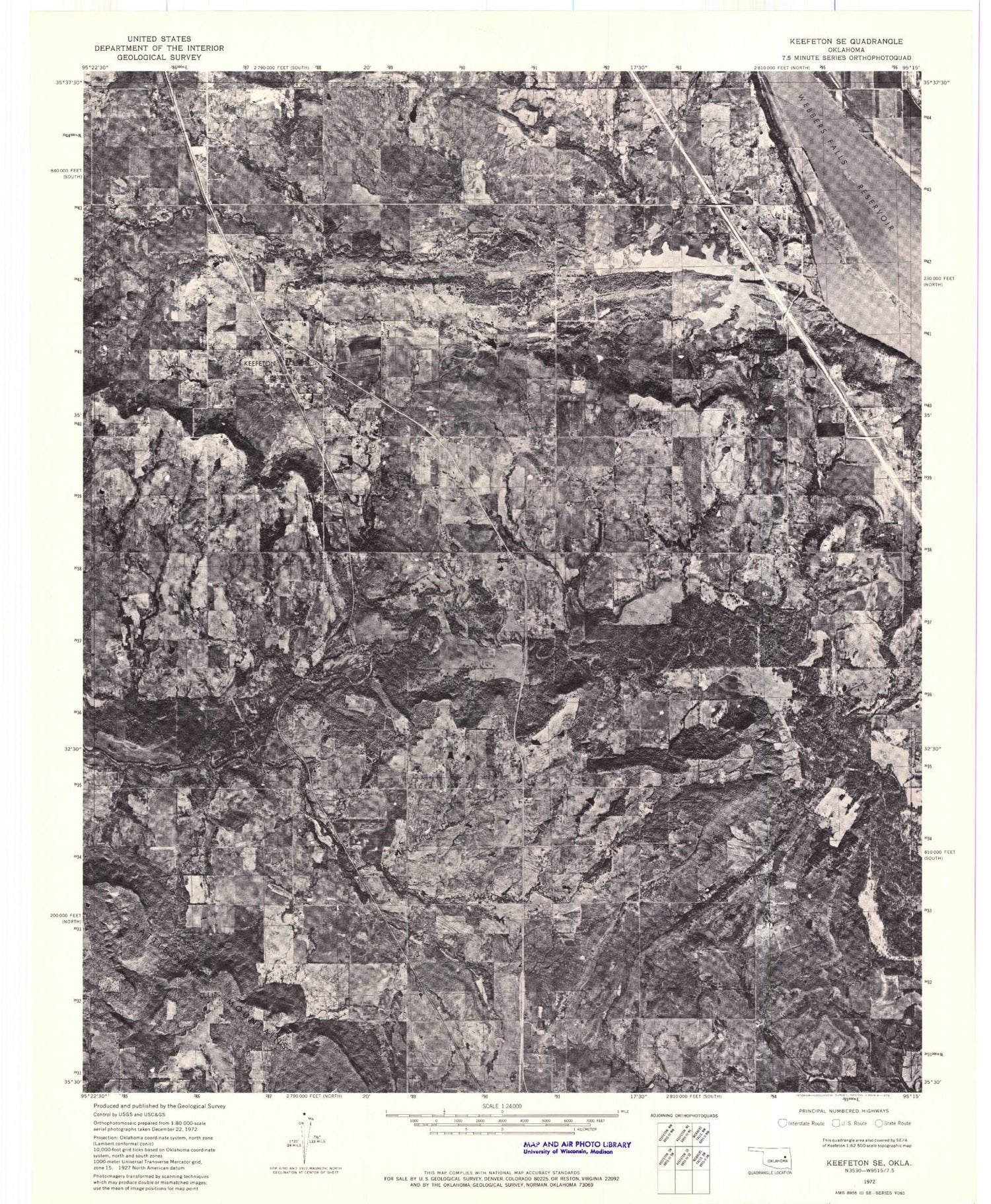
Historical USGS topographic quad map of Keefton in the state of Oklahoma. Map scale may vary for some years, but is generally around 1:24,000. Print size is approximately 24" x 27"
This quadrangle is in the following counties: McIntosh, Muskogee.
The map contains contour lines, roads, rivers, towns, and lakes. Printed on high-quality waterproof paper with UV fade-resistant inks, and shipped rolled.
Contains the following named places: Agnew Cemetery, Coal Creek, Elm Grove Cemetery, Elm Grove Church, Keefton, Keefton Census Designated Place, Keefton Volunteer Fire Department, Martin, McLain, McLain Cemetery, Oknoname 101016 Dam, Oknoname 101016 Reservoir, Rock Grove Cemetery, Spaniard Creek Public Use Area, Trinity Church, Warner High School, Warner Memorial Cemetery, Warner Mountain, Webbers Falls Reservoir