MyTopo
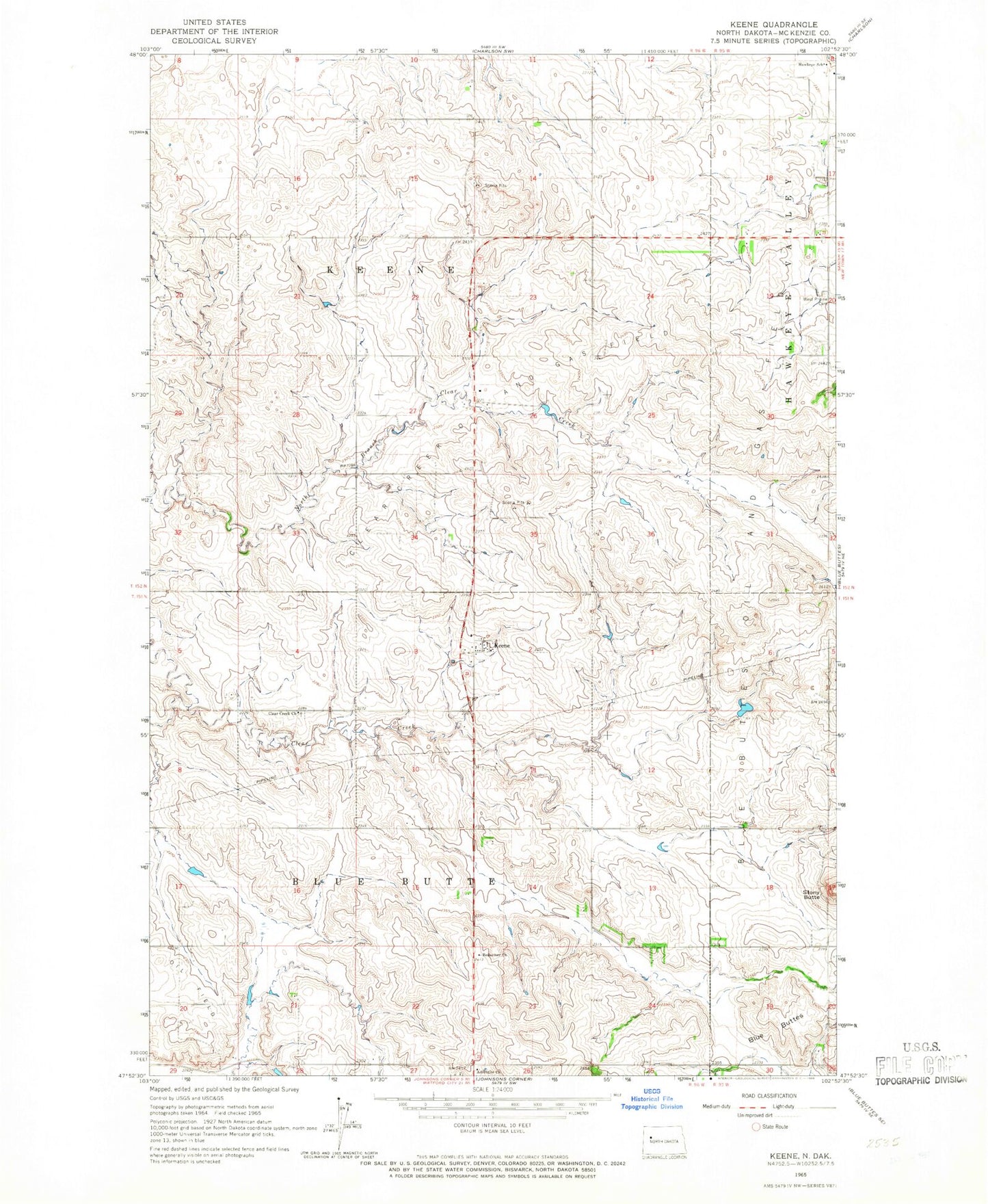
Classic USGS Keene North Dakota 7.5'x7.5' Topo Map
Couldn't load pickup availability
Historical USGS topographic quad map of Keene in the state of North Dakota. Map scale may vary for some years, but is generally around 1:24,000. Print size is approximately 24" x 27"
This quadrangle is in the following counties: McKenzie.
The map contains contour lines, roads, rivers, towns, and lakes. Printed on high-quality waterproof paper with UV fade-resistant inks, and shipped rolled.
Contains the following named places: A Brenna Ranch, Amerada Hess Office, Blue Buttes Oil and Gas Field, Clear Creek Cemetery, Clear Creek Church, Clear Creek Oil and Gas Field, H Olson Ranch, Hawkeye, Hawkeye School, Keene, Keene Fire Department, Keene Post Office, Redeemer Church, Stony Butte, Township of Blue Butte, Township of Keene, West Prairie Cemetery, ZIP Code: 58847