MyTopo
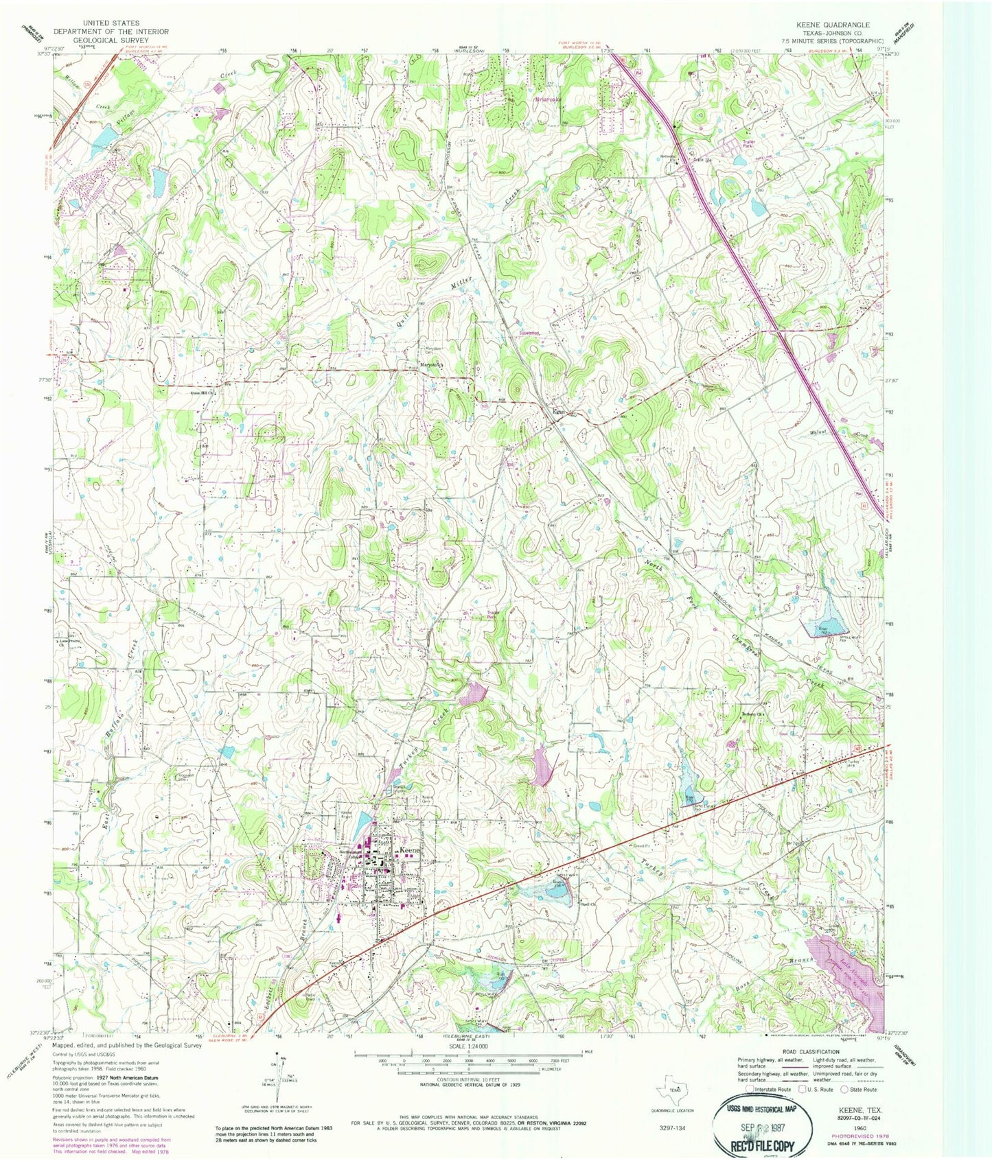
Classic USGS Keene Texas 7.5'x7.5' Topo Map
Couldn't load pickup availability
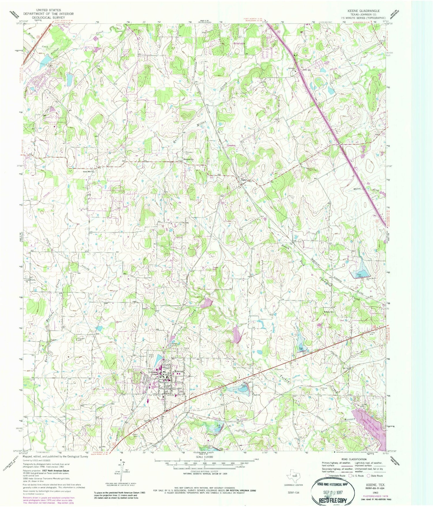
Historical USGS topographic quad map of Keene in the state of Texas. Typical map scale is 1:24,000, but may vary for certain years, if available. Print size: 24" x 27"
This quadrangle is in the following counties: Johnson.
The map contains contour lines, roads, rivers, towns, and lakes. Printed on high-quality waterproof paper with UV fade-resistant inks, and shipped rolled.
Contains the following named places: Bethany Church, Bethesda Church, Boss Branch, Buell Church, Hopewell Cemetery, Keene, Keene Cemetery, Lane Prairie Church, Marystown Cemetery, Southwestern Junior College, Union Hill Church, Willow Creek, Egan, Marystown, Johnson County, KJCR-FM (Keene), KJCR-FM (Keene), Peacock Willow Creek Heliport, STOL Field, Soil Conservation Service Site 33 Dam, Soil Conservation Service Site 33 Reservoir, Soil Conservation Service Site 37 Dam, Soil Conservation Service Site 37 Reservoir, Soil Conservation Service Site 36 Dam, Soil Conservation Service Site 36 Reservoir, Soil Conservation Service Site 34 Dam, Soil Conservation Service Site 34 Reservoir, Soil Conservation Service Site 35 Dam, Soil Conservation Service Site 35 Reservoir, Soil Conservation Service Site 30 Dam, Soil Conservation Service Site 30 Reservoir, Soil Conservation Service Site 33a Dam, Soil Conservation Service Site 33a Reservoir, Mountain Valley Dam Number 1, Mountain Valley Reservoir Number 1, Mountain Valley Dam Number 2, Mountain Valley Reservoir Number 2, Mountain Valley Lake Number 1 Dam, Mountain Valley Lake Number 1, Mountain Valley Lake Number 2 Dam, Keene Elementary School, Keene Intermediate School, Keene Junior High School, First Assembly of God of Joshua Church, Keene Seventh Day Adventist Church, Keene Seventh Day Adventist Church, Seventh Day Adventist Church, City of Briaroaks, City of Keene, Town of Cross Timber, Keene Fire and Rescue, Keene Post Office, Keene Police Department, Keene City Hall, Bethesda Cemetery


