MyTopo
Classic USGS Keeney Ridge Oregon 7.5'x7.5' Topo Map
Couldn't load pickup availability
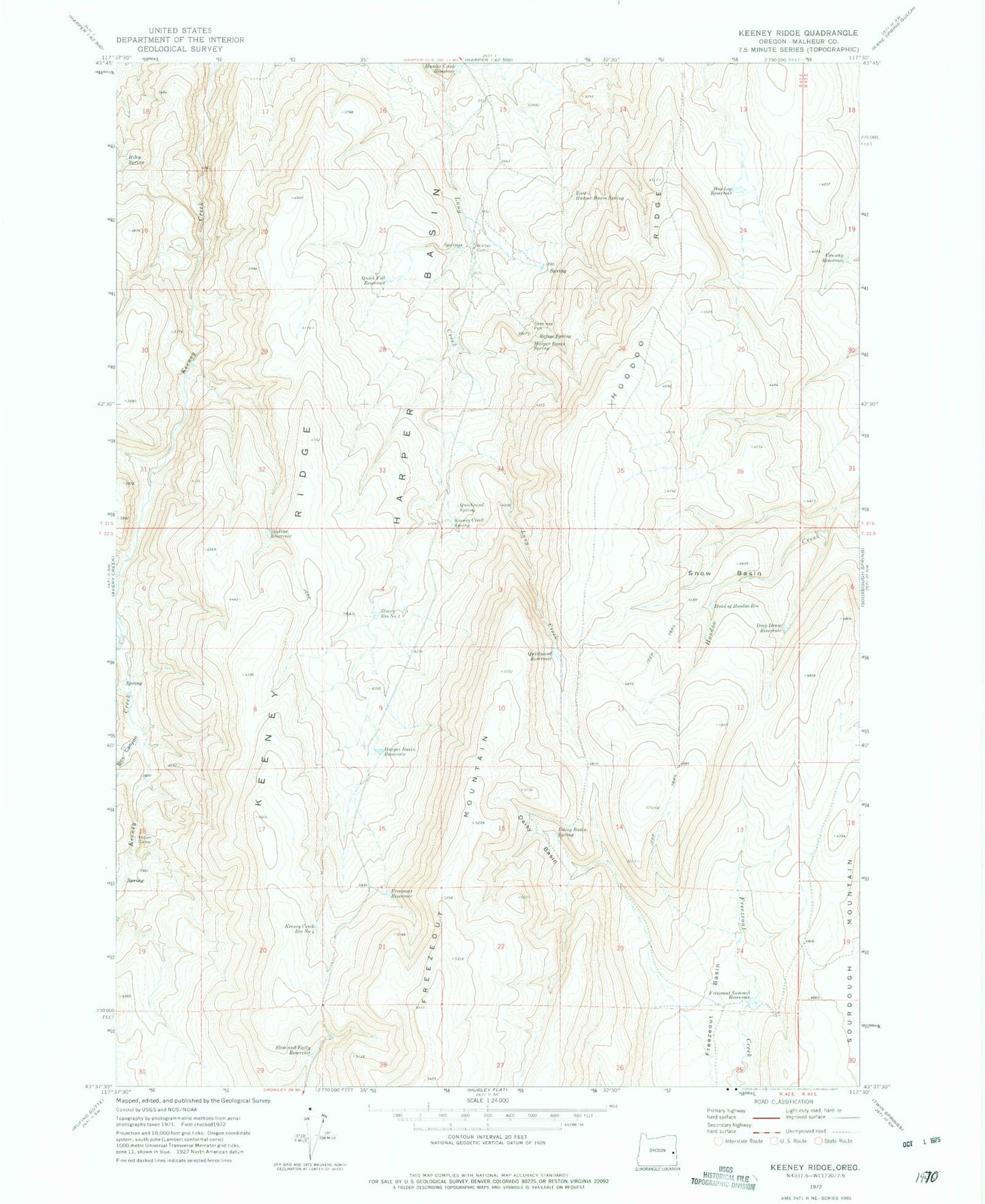
Historical USGS topographic quad map of Keeney Ridge in the state of Oregon. Map scale may vary for some years, but is generally around 1:24,000. Print size is approximately 24" x 27"
This quadrangle is in the following counties: Malheur.
The map contains contour lines, roads, rivers, towns, and lakes. Printed on high-quality waterproof paper with UV fade-resistant inks, and shipped rolled.
Contains the following named places: Biley Spring, Box Canyon, Conway Reservoir, Daisy Basin, Daisy Basin Spring, Deep Draw Reservoir, East Harper Basin Spring, Freezeout Basin, Freezeout Reservoir, Freezeout Summit Reservoir, Harper Basin Reservoir, Harper Basin Spring, Head of Hoodoo Reservoir, Hog Leg Reservoir, Hoodoo Ridge, Hunter Creek Reservoir, Indian Camp, Keeney Creek Reservoir Number Four, Keeney Creek Spring, Keeney Ridge, Quick Fill Reservoir, Quicksand Reservoir, Quicksand Spring, Refuge Spring, Sage Hen Pen, Skyline Reservoir, Slim and Fatty Reservoir, Snow Basin, Stacey Reservoir Number One, Winter Camp