MyTopo
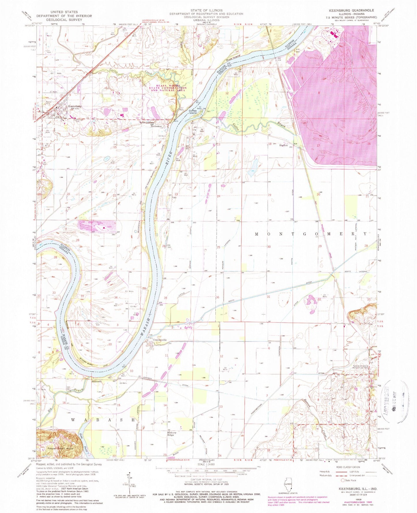
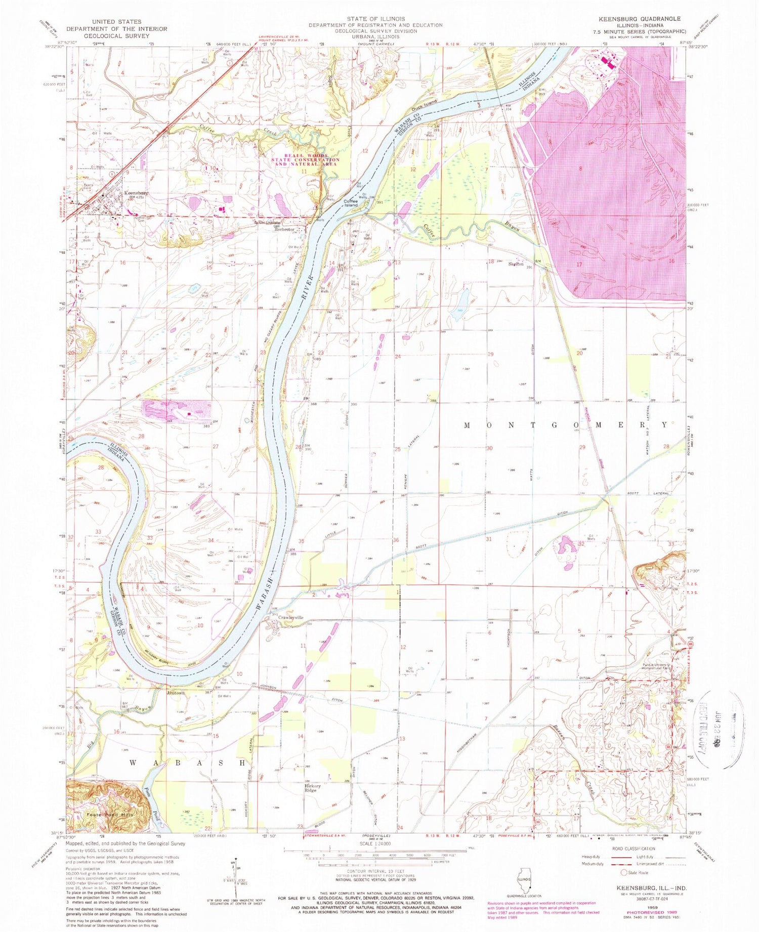
Classic USGS Keensburg Illinois 7.5'x7.5' Topo Map
Couldn't load pickup availability
Historical USGS topographic quad map of Keensburg in the states of Illinois, Indiana. Map scale may vary for some years, but is generally around 1:24,000. Print size is approximately 24" x 27"
This quadrangle is in the following counties: Gibson, Wabash.
The map contains contour lines, roads, rivers, towns, and lakes. Printed on high-quality waterproof paper with UV fade-resistant inks, and shipped rolled.
Contains the following named places: Barren Creek, Beall Woods, Beall Woods Nature Preserve, Beall Woods State Conservation and Natural Area, Belcher Ditch, Blood Ditch, Brewer Hill Cemetery, Broad Pond, Coffee Bayou, Coffee Cemetery, Coffee Creek, Coffee Election Precinct, Coffee Island, Crawleyville, Duck Island, Foote Pond, Foote Pond Hills, Franks Ditch, Gibson Generating Station, Gibson Public Service Generation Plant Dam, Hickory Ridge, Hickory Ridge Lateral, Higginbotham Ditch, Jimtown, Johnson Ditch, Johnson Drain, Keens Cemetery, Keensburg, Keensburg Volunteer Fire Department, Keniepe Lateral, Le Gier - Lovellette Cemetery, Little Sumner Ditch, Maumee Church, Purdue University Horticultural Farm, Rochester, Rochester and McCleary Bluffs Levee, Scott Ditch, Scott Lateral, Skelton, Sugar Creek, Thompson Ditch, Village of Keensburg, Watts Ditch, ZIP Code: 62852


