MyTopo
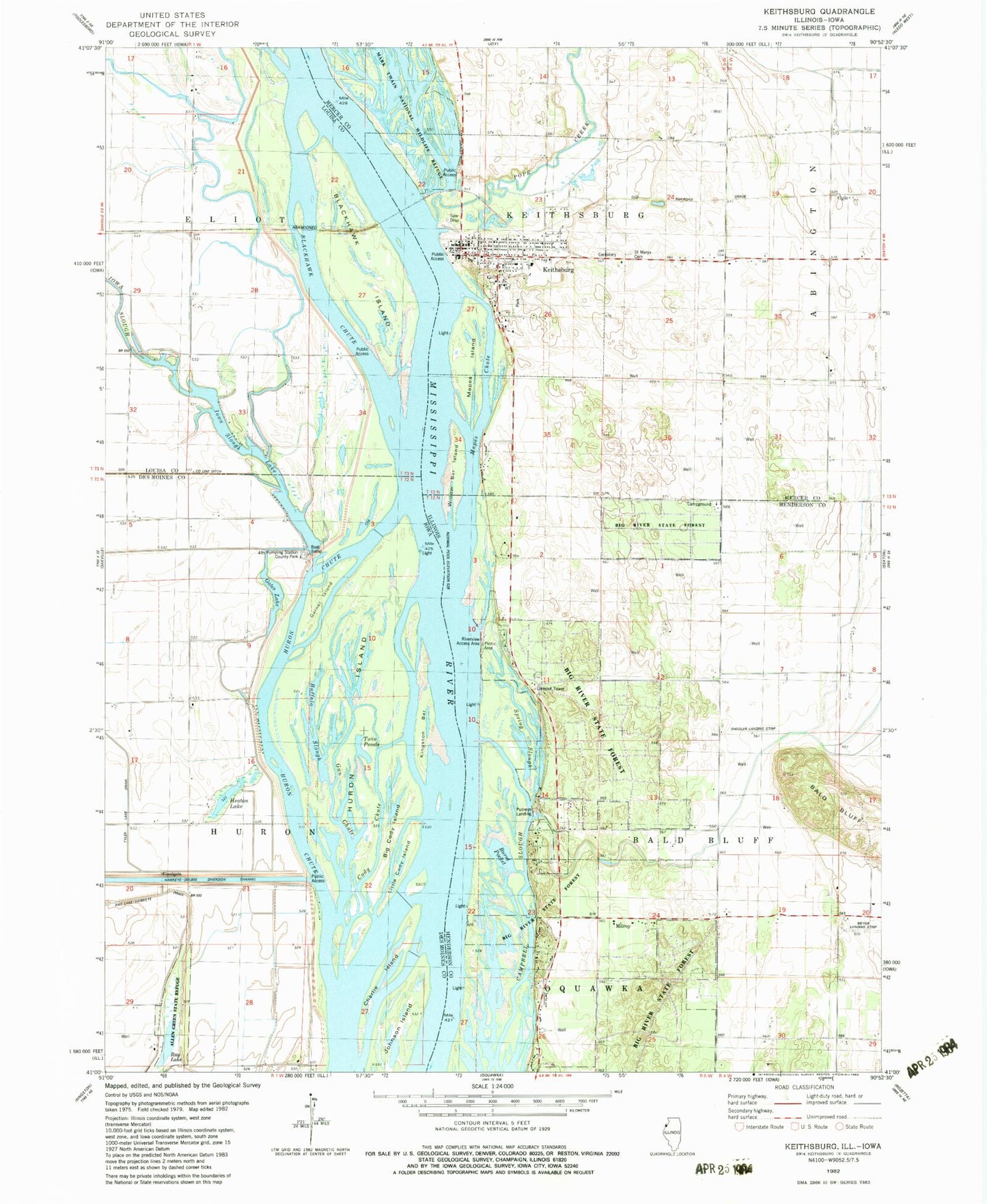
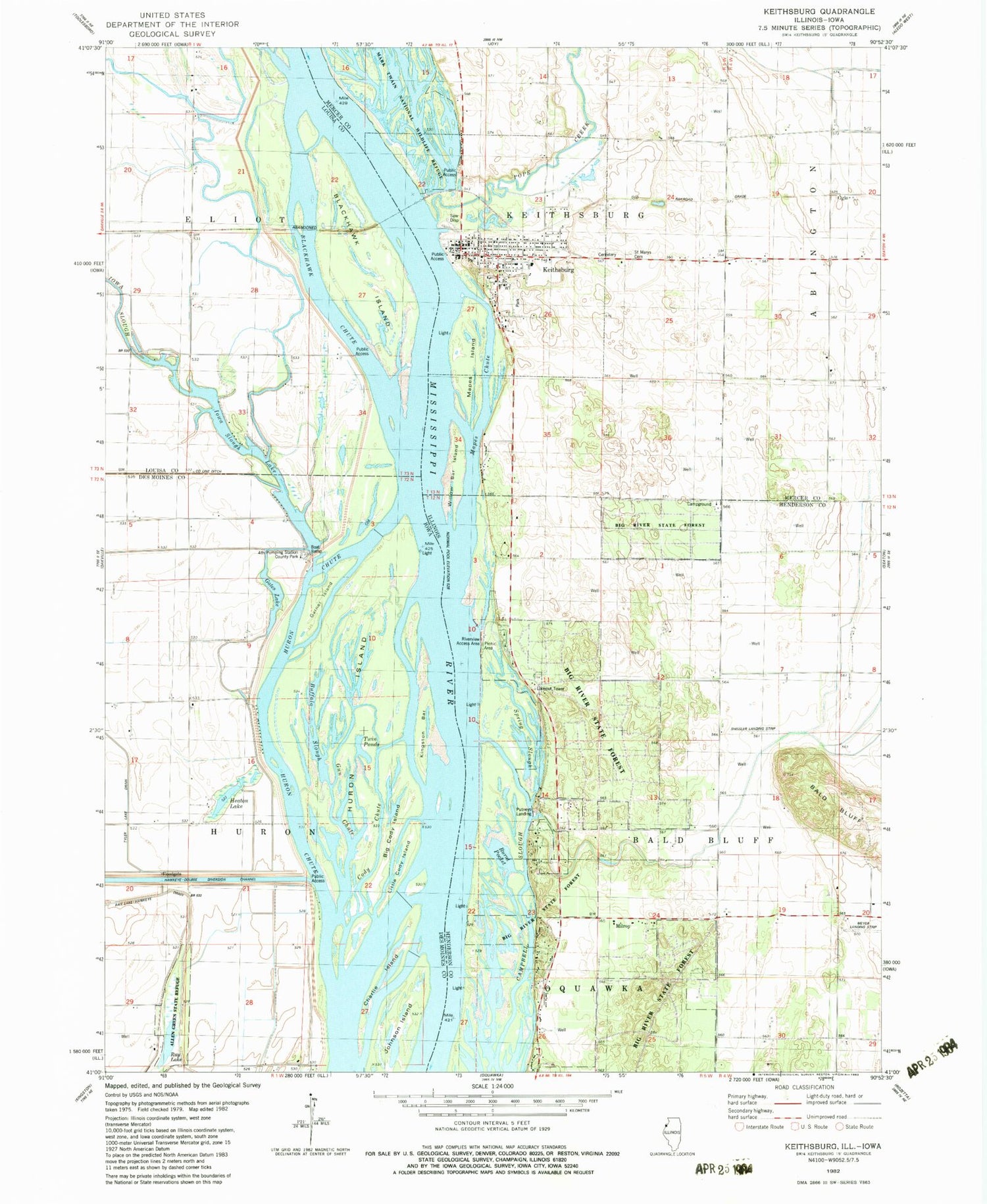
Classic USGS Keithsburg Illinois 7.5'x7.5' Topo Map
Couldn't load pickup availability
Historical USGS topographic quad map of Keithsburg in the states of Illinois, Iowa. Map scale may vary for some years, but is generally around 1:24,000. Print size is approximately 24" x 27"
This quadrangle is in the following counties: Des Moines, Henderson, Louisa, Mercer.
The map contains contour lines, roads, rivers, towns, and lakes. Printed on high-quality waterproof paper with UV fade-resistant inks, and shipped rolled.
Contains the following named places: Allen Green Refuge, Bald Bluff, Barlow Lake Drain, Big Cody Island, Big River State Forest, Blackhawk Chute, Blackhawk Island, Buffalo Slough, Burnt Pocket, Campbell Slough, Centerville School, Charlie Island, City of Keithsburg, Cody Chute, County Line Ditch, Fourth Pumping Station County Park, Fox Landing Post Office, Garner Island, Gates Lake, Gun Chute, Harmony School, Hawkeye Dolbee Access, Heaton Lake, Heeg Airport, Huron Chute, Huron Island, Huron Island Cemetery, Iowa Slough, Iowa Slough Lake, Johnson Island, Keithsburg, Keithsburg Cemetery, Keithsburg Fire Department, Keithsburg Historic District, Keithsburg Post Office, Kingston Bar, Little Cody Island, Mapes Chute, Mapes Island, Maple Grove School, Mark Twain National Wildlife Refuge, Meyer Airport, Milroy, Ogle, Pin Island, Pope Creek, Putneys Landing, Ray Lake, Riverview Access Area, Saint Mary's Cemetery, Shissler Seed Company Incorporated Airport, Smith Cemetery, Snipe Island, Spring Slough, Sunny Grove School, Township of Keithsburg, Twin Ponds, Tyler Lake Drain, Willow Bar Island, Ziegler Slough, ZIP Codes: 52646, 61442


