MyTopo
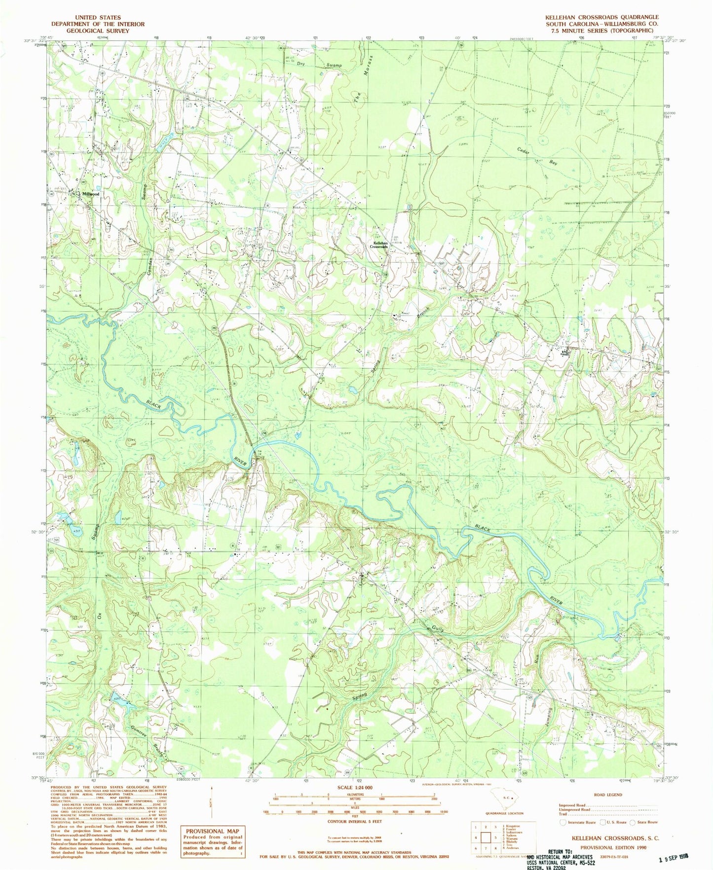
Classic USGS Kellehan Crossroads South Carolina 7.5'x7.5' Topo Map
Couldn't load pickup availability
Historical USGS topographic quad map of Kellehan Crossroads in the state of South Carolina. Typical map scale is 1:24,000, but may vary for certain years, if available. Print size: 24" x 27"
This quadrangle is in the following counties: Williamsburg.
The map contains contour lines, roads, rivers, towns, and lakes. Printed on high-quality waterproof paper with UV fade-resistant inks, and shipped rolled.
Contains the following named places: Bethel Church, Cedar Bay, Cedar Grove Church, Central Church, Central School, Gumtree Branch, Gumtree Branch, Howard Church, Mount Olive Church, Ox Swamp, Spring Gully, The Morass, South Carolina Noname 45006 D-3092 Dam, South Carolina Noname 45015 D-3093 Dam, Sheppard Pond, A H Parsons Pond Dam D-3088, Parsons Pond, McCollough Upper Pond Dam D-3091, Scott Pond Dam D-3087, Scott Pond, Great Pleasant African Methodist Episcopal Church, Hicksons Ferry (historical), Lower Crossing, Millwood Methodist Episcopal Church South, Never Fail School (historical), Saint Mark Elementary School, Saint Marks Church, Spring Gully Cemetery, Great Pleasant School (historical), Jumping Run, Kellehan Crossroads, McElroy Branch, Millwood, Camden Swamp, Concord Church, Williamsburg County, Saint Marks School (historical), Spring Branch, Spring Gully Church, Williamsburg County Fire Department Station 10


