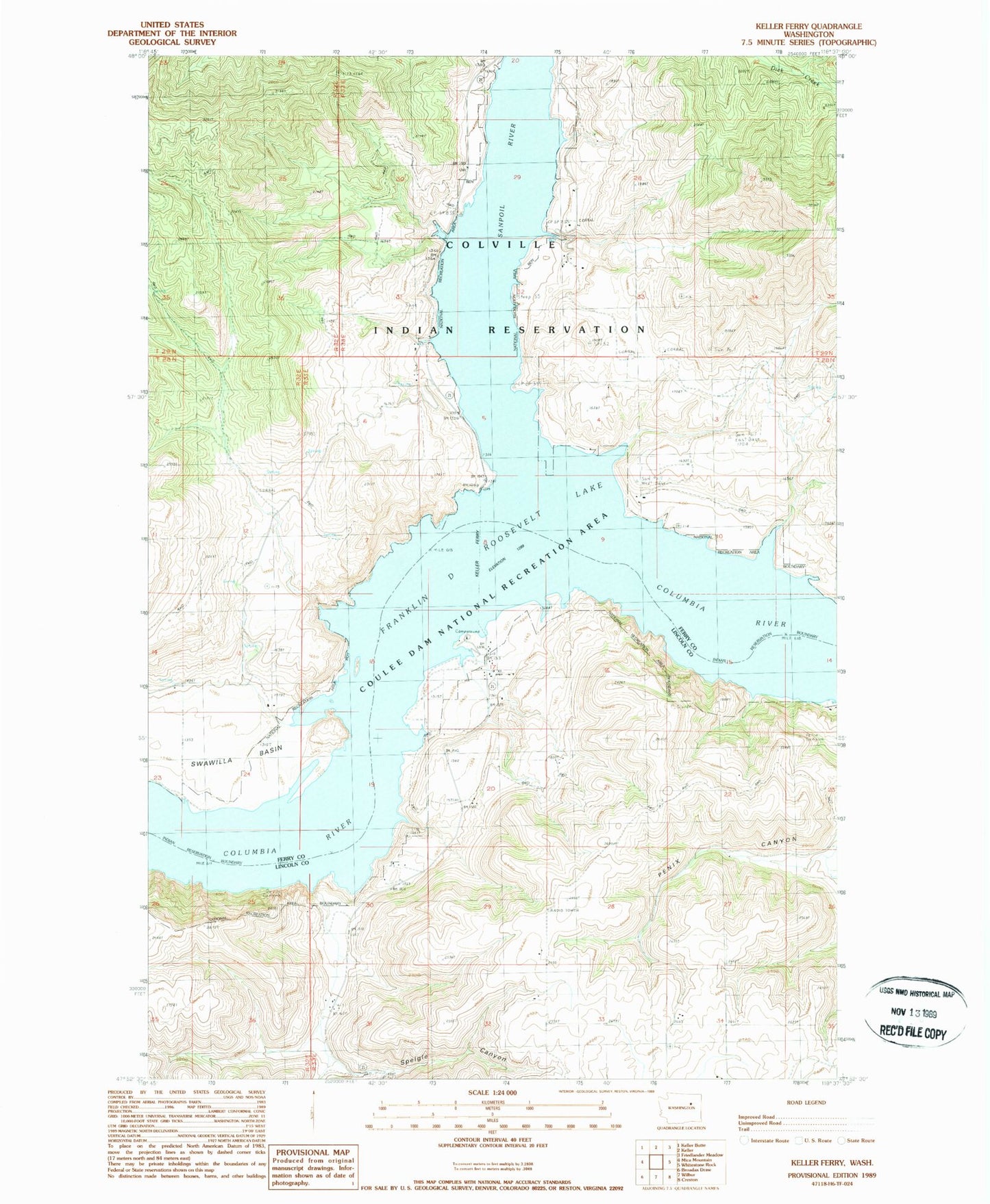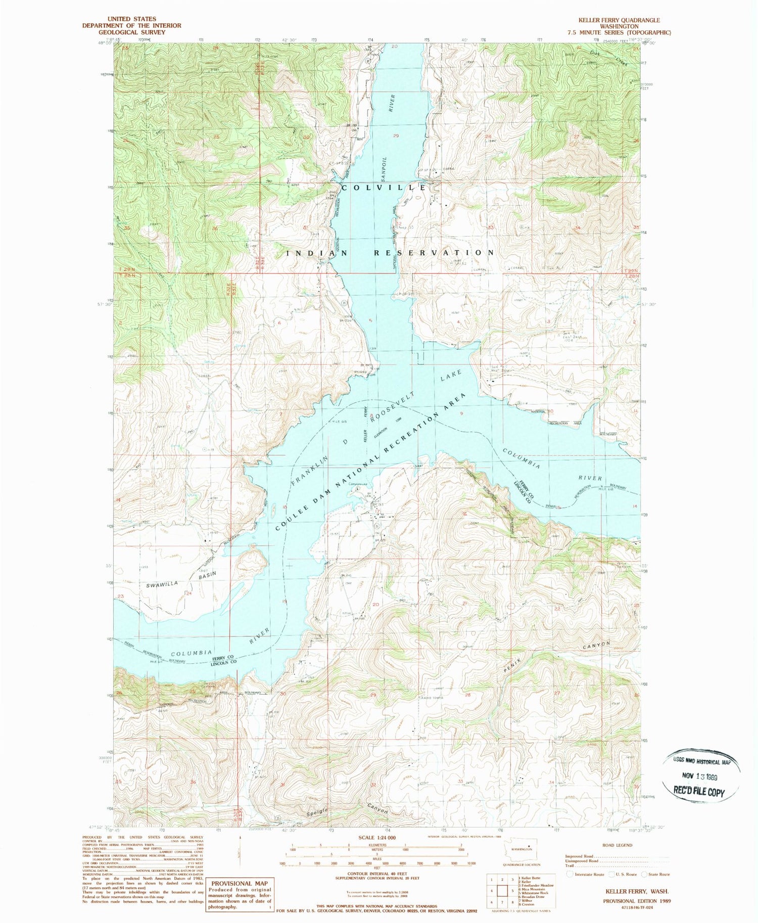
MyTopo
Classic USGS Keller Ferry Washington 7.5'x7.5' Topo Map
Regular price
$16.95
Regular price
Sale price
$16.95
Unit price
per
Couldn't load pickup availability
Historical USGS topographic quad map of Keller Ferry in the state of Washington. Map scale may vary for some years, but is generally around 1:24,000. Print size is approximately 24" x 27"
This quadrangle is in the following counties: Ferry, Lincoln.
The map contains contour lines, roads, rivers, towns, and lakes. Printed on high-quality waterproof paper with UV fade-resistant inks, and shipped rolled.
Contains the following named places: Camel Bluff, China Bay, China Bluff, Clark, Clark Point, Covington Cove, Franklin D Roosevelt Lake, Lake Roosevelt National Recreation Area, Moonbeam Bay, Sanpoil River, Sanpoil River Arm, Speigle Canyon