MyTopo
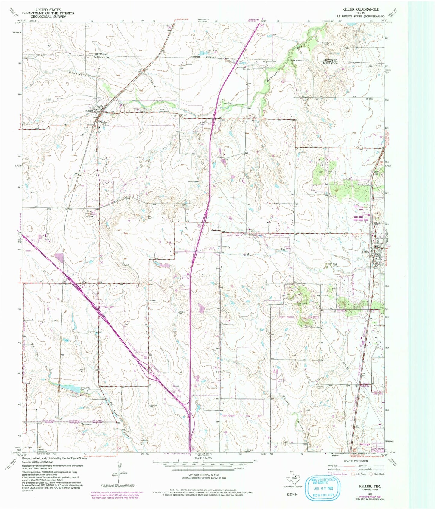
Classic USGS Keller Texas 7.5'x7.5' Topo Map
Couldn't load pickup availability
Historical USGS topographic quad map of Keller in the state of Texas. Map scale may vary for some years, but is generally around 1:24,000. Print size is approximately 24" x 27"
This quadrangle is in the following counties: Denton, Tarrant.
The map contains contour lines, roads, rivers, towns, and lakes. Printed on high-quality waterproof paper with UV fade-resistant inks, and shipped rolled.
Contains the following named places: Alliance Airport Post Office, Alta Vista Mobile Home Park, Amazing Grace Fellowship Church, Blue Mound, Buffalo Creek, Callahan Field, Calvary United Pentecostal Church, Capp Smith Park Trail, Chisholm Trail Intermediate School, Circle C Ranch Airport, City of Haslet, Fort Worth Alliance Airport, Fort Worth Fire Department Station 35, Fort Worth Fire Department Station 37, Fort Worth Fire Department Station 38, Fort Worth Police Department - North Division, Fossil Hill Middle School, Fossil Hill Middle School Football Field, Fossil Ridge High School, Haslet, Haslet Church of Christ, Haslet City Hall, Haslet Elementary School, Haslet Fire Department, Haslet Post Office, Highland Middle School, Hillcrest Airport, Hillwood Middle School, Keller, Keller Fire and Rescue, Keller Pumping Station, Loughridge Lake, Loughridge Lake Dam, Love and Healing Christian Fellowship Church, Meadow Glen Mobile Home Park, North Tarrant County Fire Department, Northridge Baptist Church, Park Glen Elementary School, Pine Tree Estates Number 2, Saginaw Fire Department Station 2, Sweets Chapel Cemetery, Town Oaks Baptist Church, Ultralight International, Watauga City Hall, Whitley Road Elementary School, ZIP Codes: 76052, 76131, 76177, 76244


