MyTopo
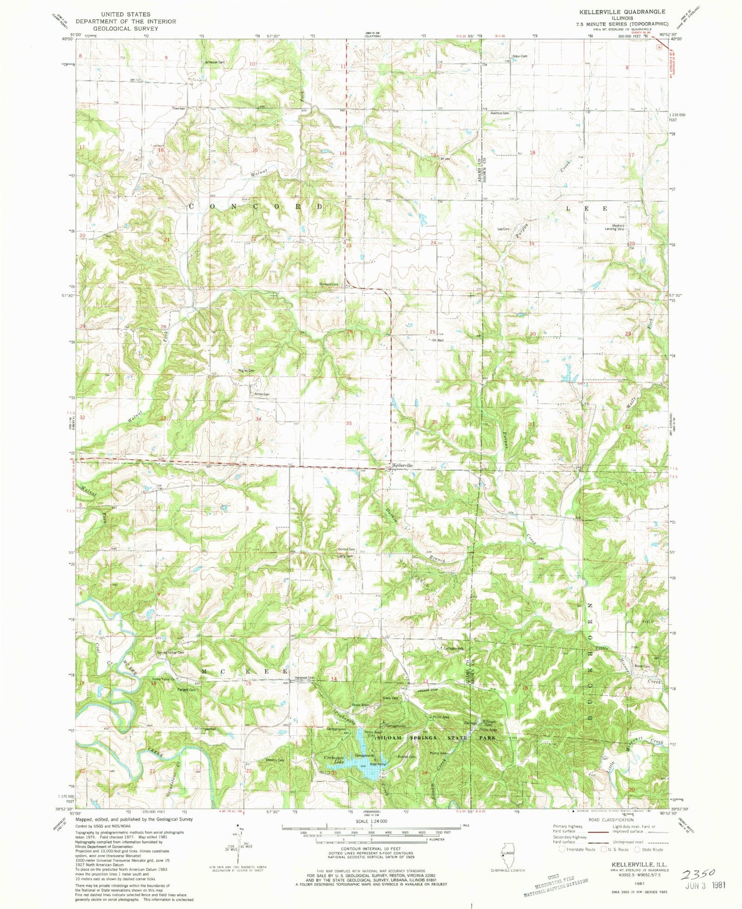
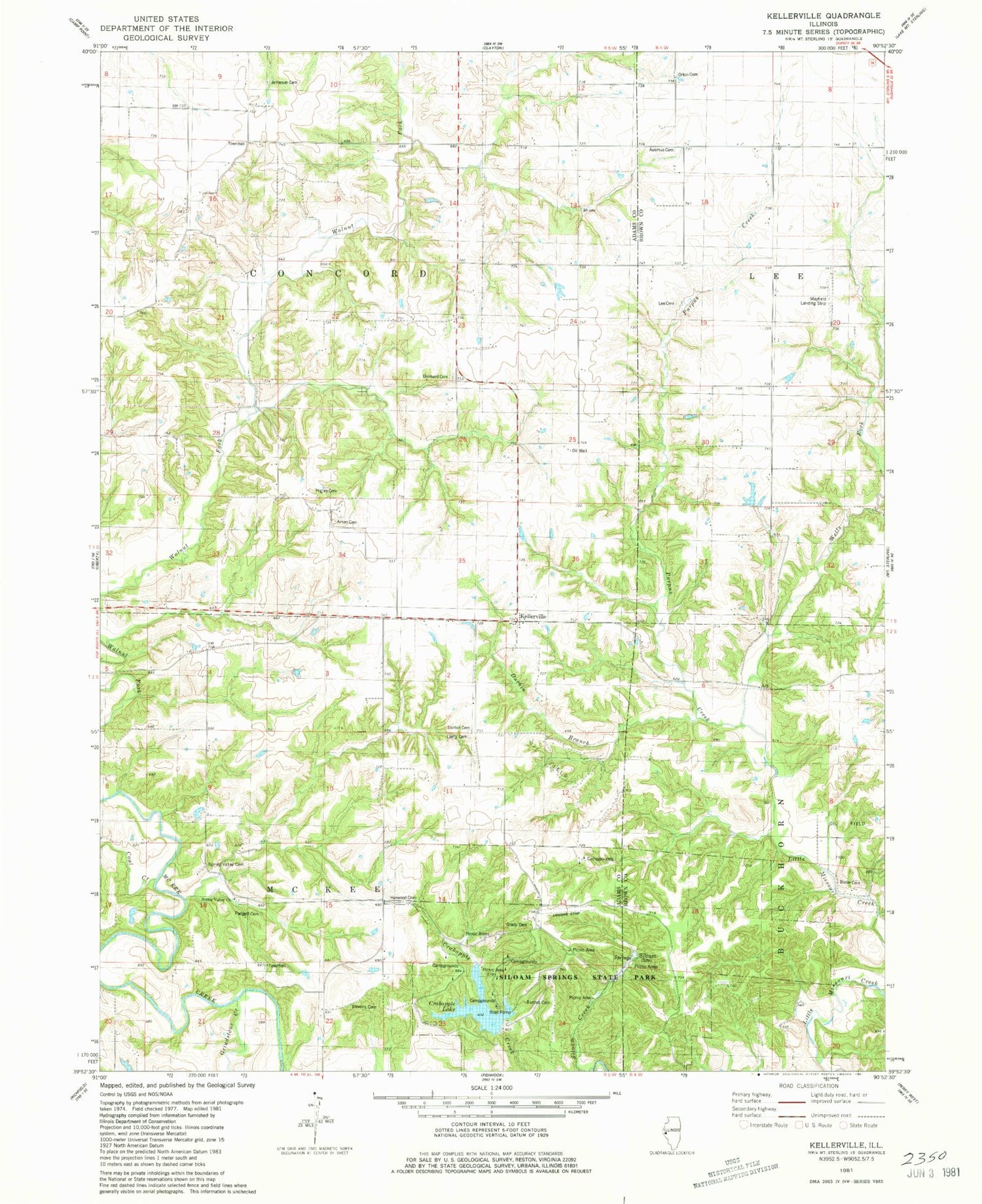
Classic USGS Kellerville Illinois 7.5'x7.5' Topo Map
Couldn't load pickup availability
Historical USGS topographic quad map of Kellerville in the state of Illinois. Typical map scale is 1:24,000, but may vary for certain years, if available. Print size: 24" x 27"
This quadrangle is in the following counties: Adams, Brown.
The map contains contour lines, roads, rivers, towns, and lakes. Printed on high-quality waterproof paper with UV fade-resistant inks, and shipped rolled.
Contains the following named places: Amen School (historical), Ashland School (historical), Coal Creek, Colpitt School (historical), Durbin Branch, Ferguson School (historical), Friendly School (historical), Grindstone Creek, Kellerville, Little Missouri School (historical), Oakland School (historical), Pea Green School (historical), Purpus Creek, Spring Valley School (historical), Washington Grove School (historical), Wells Fork, Williams School (historical), Township of McKee, Siloam, Township of Concord, Siloam Springs Lake Dam, Siloam Springs Lake, Amen Cemetery, Burden Cemetery, Concord Townhall, Crabapple Lake, Dunkard Cemetery, Durbin Cemetery, Grady Cemetery, Higley Family Cemetery, Jefferson Cemetery, Lierly Cemetery, McKee Townhall, Padgett Cemetery, Siloam Springs State Park, Spring Valley Cemetery, Spring Valley Church, Stevens Cemetery, Ausmus Cemetery, Bixler Cemetery, Lee Cemetery, Mayfield Landing Strip (historical), Orton Cemetery, Harwood Cemetery, Spring Valley, Crabapple Trail, Deer Run Trail, Hickory Hill Campground, Oak Ridge Campground, Old Village Trail, Pine Grove Campground, Prairie Bluff Trail, Hoot Owl Trail, Old Siloam Picnic Area, Red Oak Backpack Trail, Siloam Springs


