MyTopo
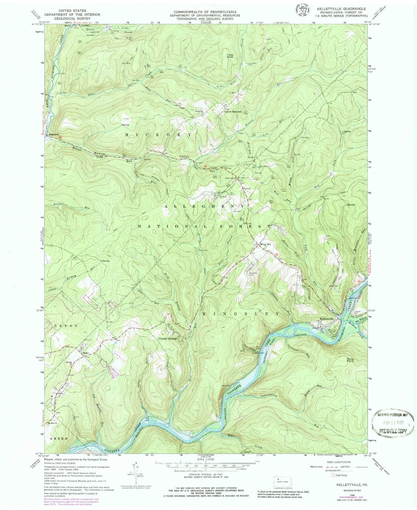
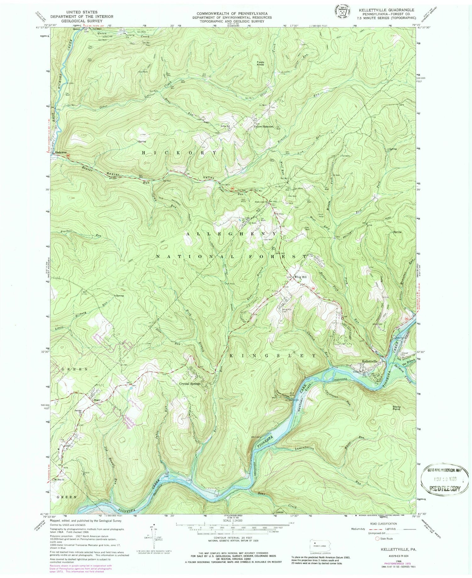
Classic USGS Kellettville Pennsylvania 7.5'x7.5' Topo Map
Couldn't load pickup availability
Historical USGS topographic quad map of Kellettville in the state of Pennsylvania. Typical map scale is 1:24,000, but may vary for certain years, if available. Print size: 24" x 27"
This quadrangle is in the following counties: Forest.
The map contains contour lines, roads, rivers, towns, and lakes. Printed on high-quality waterproof paper with UV fade-resistant inks, and shipped rolled.
Contains the following named places: Bear Creek, Beaver Valley, Berlin Fork, Camp Run, Carpenter Run, Church Run, Crystal Springs, Dice Run, East Branch Ross Run, East Fork Fork Run, Fools Knob, Fork Run, Jakes Run, Jug Handle Run, Kellettville, Kiffer Hill Church, Lamentation Run, Lick Run, Little Otter Run, Middle Fork Fork Run, Mount Zion Church, Newtown Flats, Reck Branch, Reno Run, Ross Run, Starr, Stony Point, The Branch, Toms Run, Town Hollow, Town Line Church, West Fork Fork Run, Whig Hill, Whig Hill Cemetery, White Run, Wolf Run, Yellow Hammer, Zuendel Church, Salmon Creek, Beaver Valley School (historical), Newtown, Ross Run Junction, Township of Hickory, Township of Kingsley, Starr Cemetery, Kiffer Hill Cemetery, Townline Cemetery, Mount Zion Lutheran Cemetery


