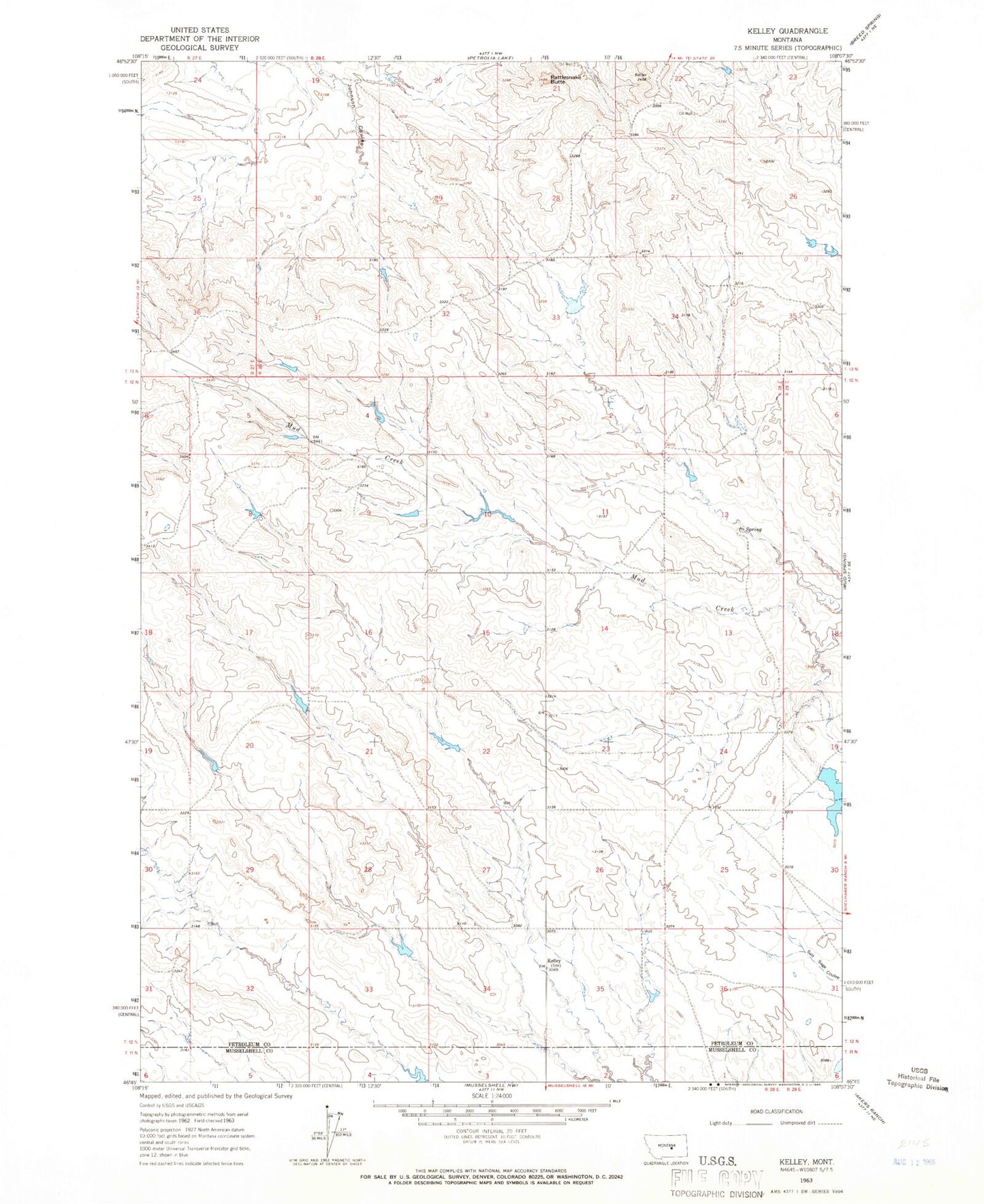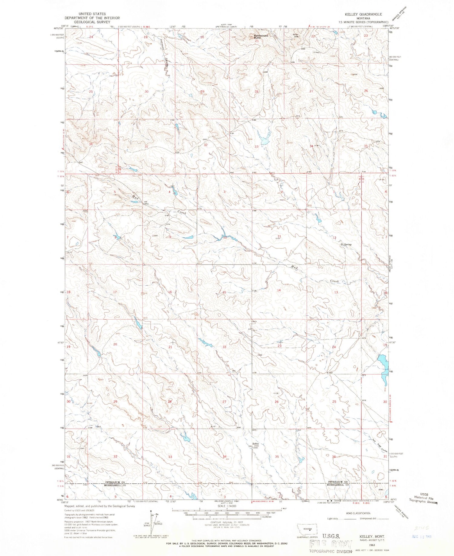
MyTopo
Classic USGS Kelley Montana 7.5'x7.5' Topo Map
Couldn't load pickup availability
Historical USGS topographic quad map of Kelley in the state of Montana. Map scale may vary for some years, but is generally around 1:24,000. Print size is approximately 24" x 27"
This quadrangle is in the following counties: Musselshell, Petroleum.
The map contains contour lines, roads, rivers, towns, and lakes. Printed on high-quality waterproof paper with UV fade-resistant inks, and shipped rolled.
Contains the following named places: 12N28E06DADA01 Well, 12N28E09AABC01 Well, 12N28E13DB__01 Well, 12N28E29CCD_01 Well, 13N28E31CCC_01 Well, Burgeton Post Office, Castle Rock School, Dixon School, Flannigan School, Goffena Number 4 Dam, Hodges School, Howard Coulee Number 1 Dam, Kelley, Kelley Post Office, Kocer School, Mackrill School, Rattlesnake Butte, Rattlesnake Butte Oil Field, Rocking Chair Butte School, Seminary Number 10 Dam, Sheldon School