MyTopo
Classic USGS Kellogg East Idaho 7.5'x7.5' Topo Map
Couldn't load pickup availability
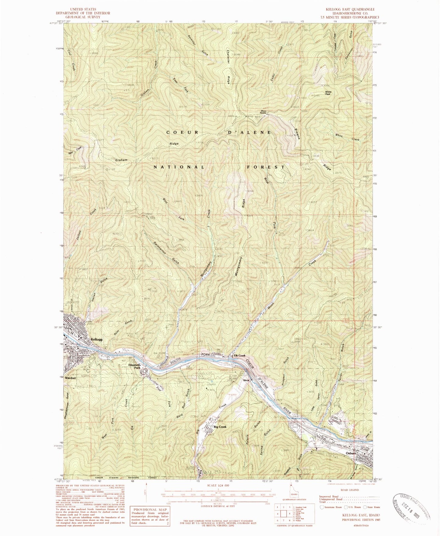
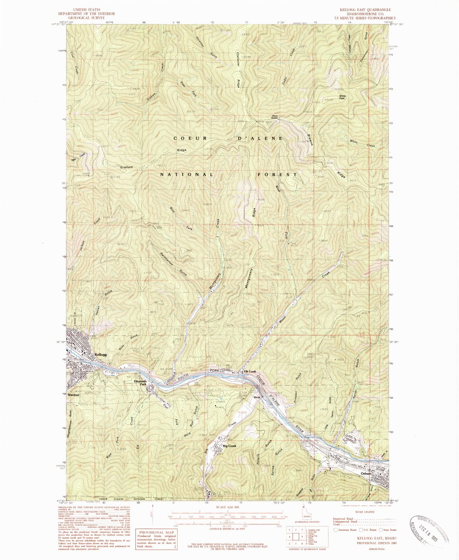
Historical USGS topographic quad map of Kellogg East in the state of Idaho. Map scale may vary for some years, but is generally around 1:24,000. Print size is approximately 24" x 27"
This quadrangle is in the following counties: Shoshone.
The map contains contour lines, roads, rivers, towns, and lakes. Printed on high-quality waterproof paper with UV fade-resistant inks, and shipped rolled.
Contains the following named places: Alhambra Mine, Big Creek, Character Ridge, City of Osburn, Crescent Mine, East Fork Elk Creek, East Fork Graham Creek, East Fork Rosebud Gulch, Elizabeth Park, Elk Creek, Elk Creek School, Gene Day Park, Gold Run, Greenwood Cemetery, Holmes Gulch, Holmes Trail, Italian Gulch, Jackass Trail, Jewell Gulch, Kellogg, Kellogg Post Office, KWAL-AM (Wallace), Little Terror Gulch, McFarren Gulch, Mineral Mountain Mine, Montgomery Creek, Montgomery Ridge, Moon Creek, Moon Saddle, Nellie Mine, Polaris Gulch, Polaris Mine, Prospect Gulch, Rosebud Gulch, Ross Gulch, Shont, Shoshone Country Club, Shoshone County Fire Protection District 2 Kellogg Station, Shoshone County Fire Protection District 2 Sunnyside Station, Silver Summit Mine, Spring Gulch, Sunshine Mine, Sunshine Mine Disaster Memorial, Sunshine Tailings Number One Dam, Sunshine Tailings Number Two Dam, Swinnerton Gulch, Terror Gulch, West Fork Elk Creek, West Fork Montgomery Creek, West Fork Moon Creek, White Creek Saddle, White Peak, ZIP Code: 83837