MyTopo
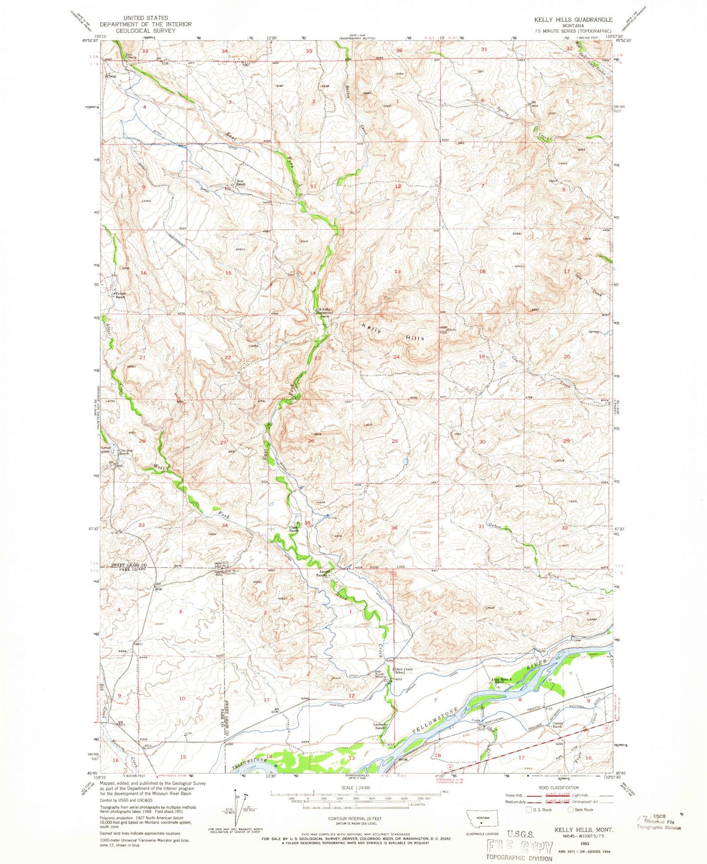
Classic USGS Kelly Hills Montana 7.5'x7.5' Topo Map
Couldn't load pickup availability
Historical USGS topographic quad map of Kelly Hills in the state of Montana. Map scale may vary for some years, but is generally around 1:24,000. Print size is approximately 24" x 27"
This quadrangle is in the following counties: Park, Sweet Grass.
The map contains contour lines, roads, rivers, towns, and lakes. Printed on high-quality waterproof paper with UV fade-resistant inks, and shipped rolled.
Contains the following named places: 01N12E09C___01 Spring, 01S13E08DCDA01 Spring, 01S13E08DDBA01 Well, 01S13E09ABBB01 Well, 01S13E09BBCD01 Well, 01S13E17BBCA01 Well, Alkali Creek, Bailey Creek, Boe Ranch, Carney Ranch, Chris Boe Ranch, Clark Ranch, Dog Creek, Duck Creek, Duck Creek School, East Fork Duck Creek, Fetter Ranch, Fryer Creek, Gage Pioneer Memorial, Gages Station, Hunters Hot Springs Canal, Jarrett Creek, Jarrett Ranch, Kelly Hills, Laubach Ranch, Long Horn A Ranch, Lowell Creek, Old Kelly Homestead, Sioux Crossing, West Fork Duck Creek