MyTopo
Classic USGS Kelly Mountain Idaho 7.5'x7.5' Topo Map
Couldn't load pickup availability
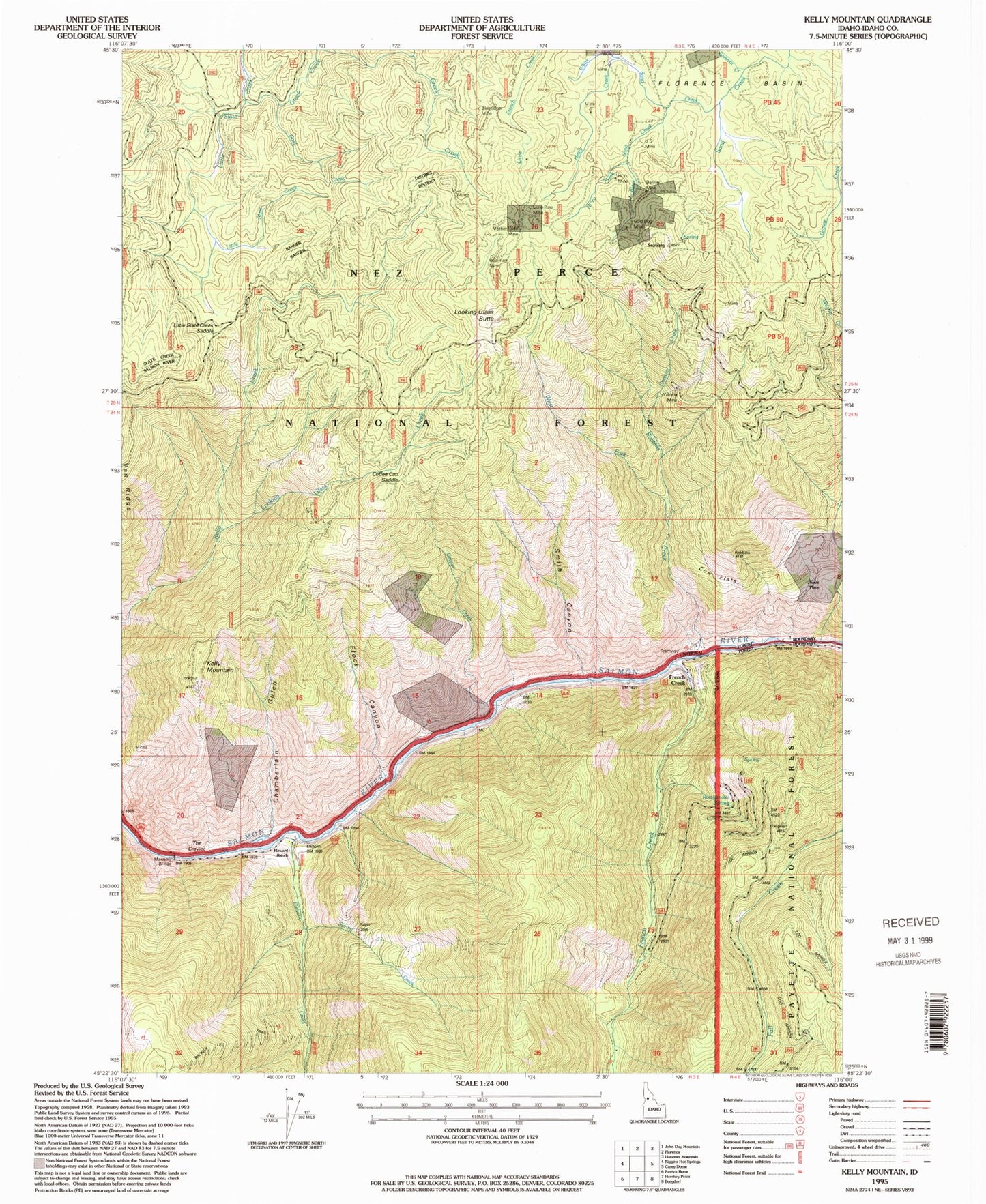
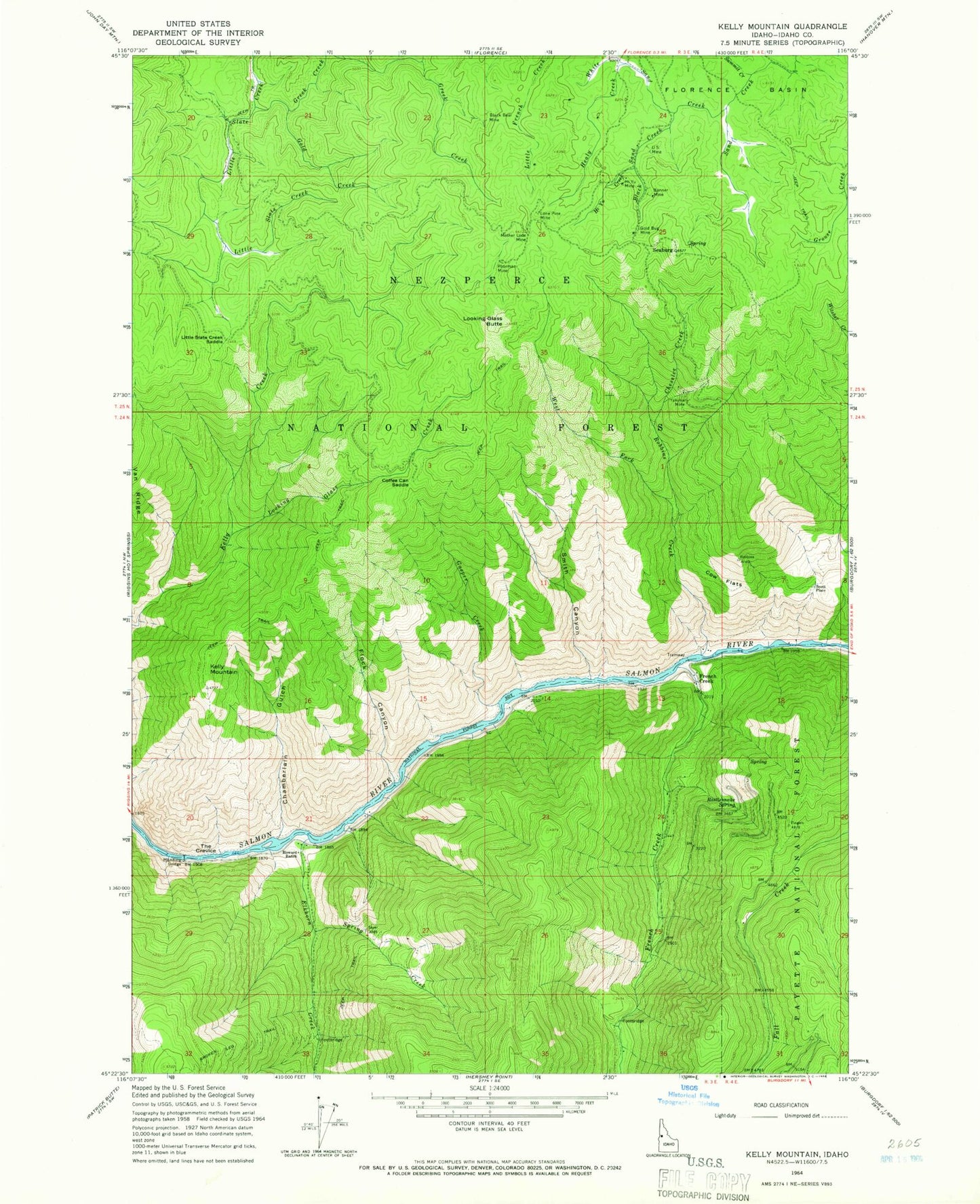
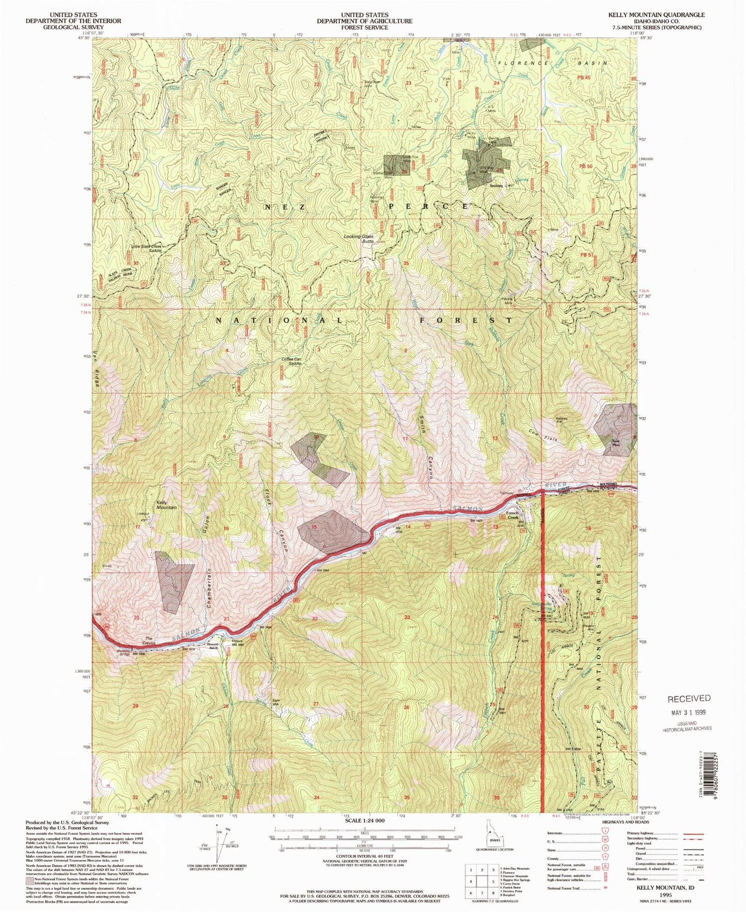
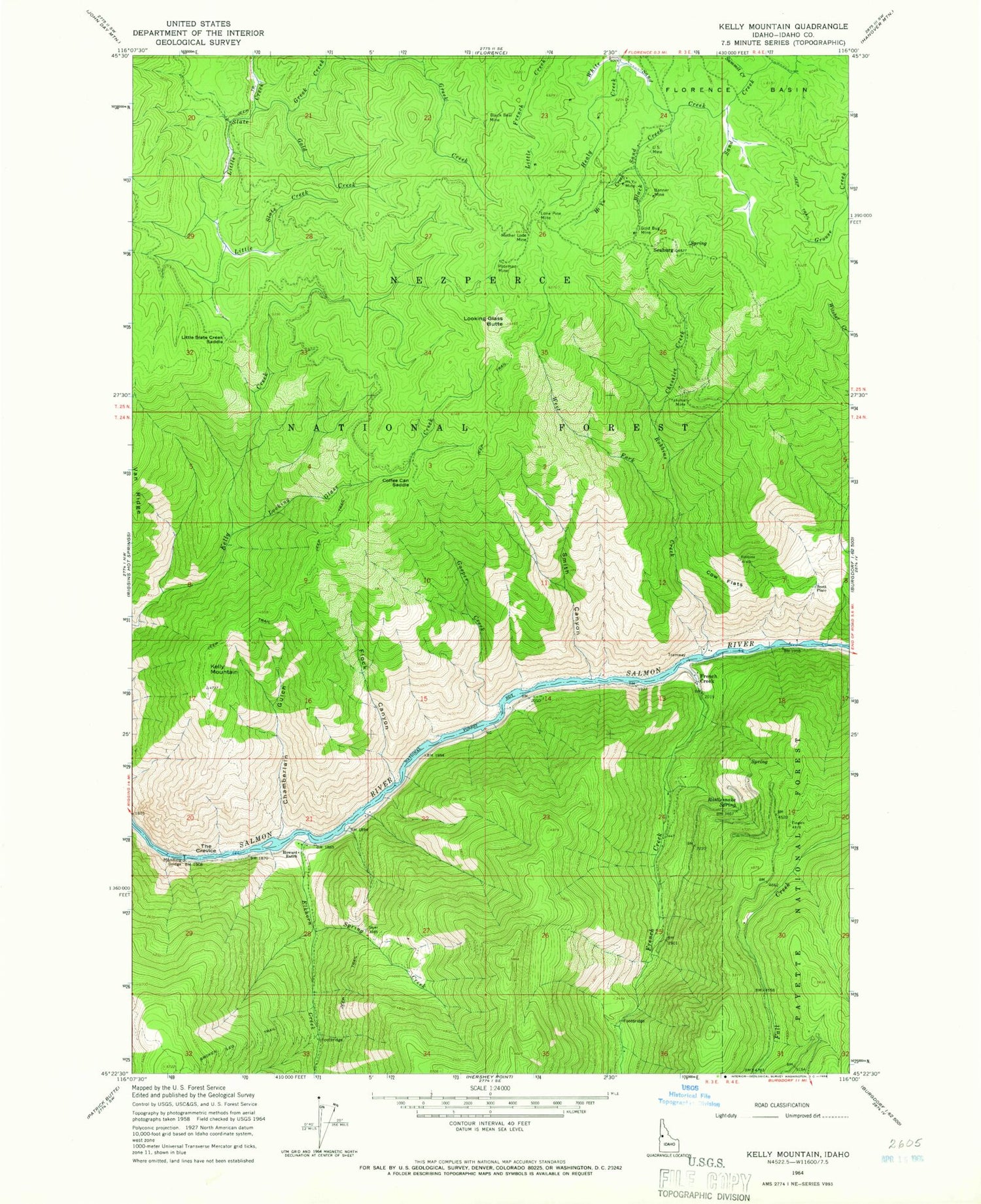
Historical USGS topographic quad map of Kelly Mountain in the state of Idaho. Typical map scale is 1:24,000, but may vary for certain years, if available. Print size: 24" x 27"
This quadrangle is in the following counties: Idaho.
The map contains contour lines, roads, rivers, towns, and lakes. Printed on high-quality waterproof paper with UV fade-resistant inks, and shipped rolled.
Contains the following named places: Poorman Mine, Banner Mine, Black Bear Mine, Broken Leg Trail, Burn Creek, Chamberlain Gulch, Chessler Creek, Coffee Can Saddle, Cow Flats, Elkhorn Creek, Flock Canyon, French Creek, Gasper Creek, Gold Bug Mine, Gold Creek, Greek Creek, Healy Creek, Hi Yu Creek, Hi Yu Mine, Howard Ranch, Little Slate Creek Saddle, Lone Pine Mine, Looking Glass Butte, Looking Glass Creek, Manning Bridge, Mother Lode Mine, Rattlesnake Spring, Robbins Creek, Seaburg, Smith Canyon, Spring Creek, Summit Creek, The Crevice, US Mine, West Fork Robbins Creek, White Sand Creek, Yakima Mine, French Creek, Kelly Mountain, Scott Place, French Creek Post Office (historical)


