
MyTopo
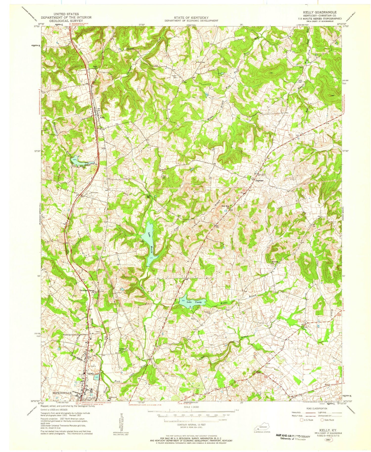
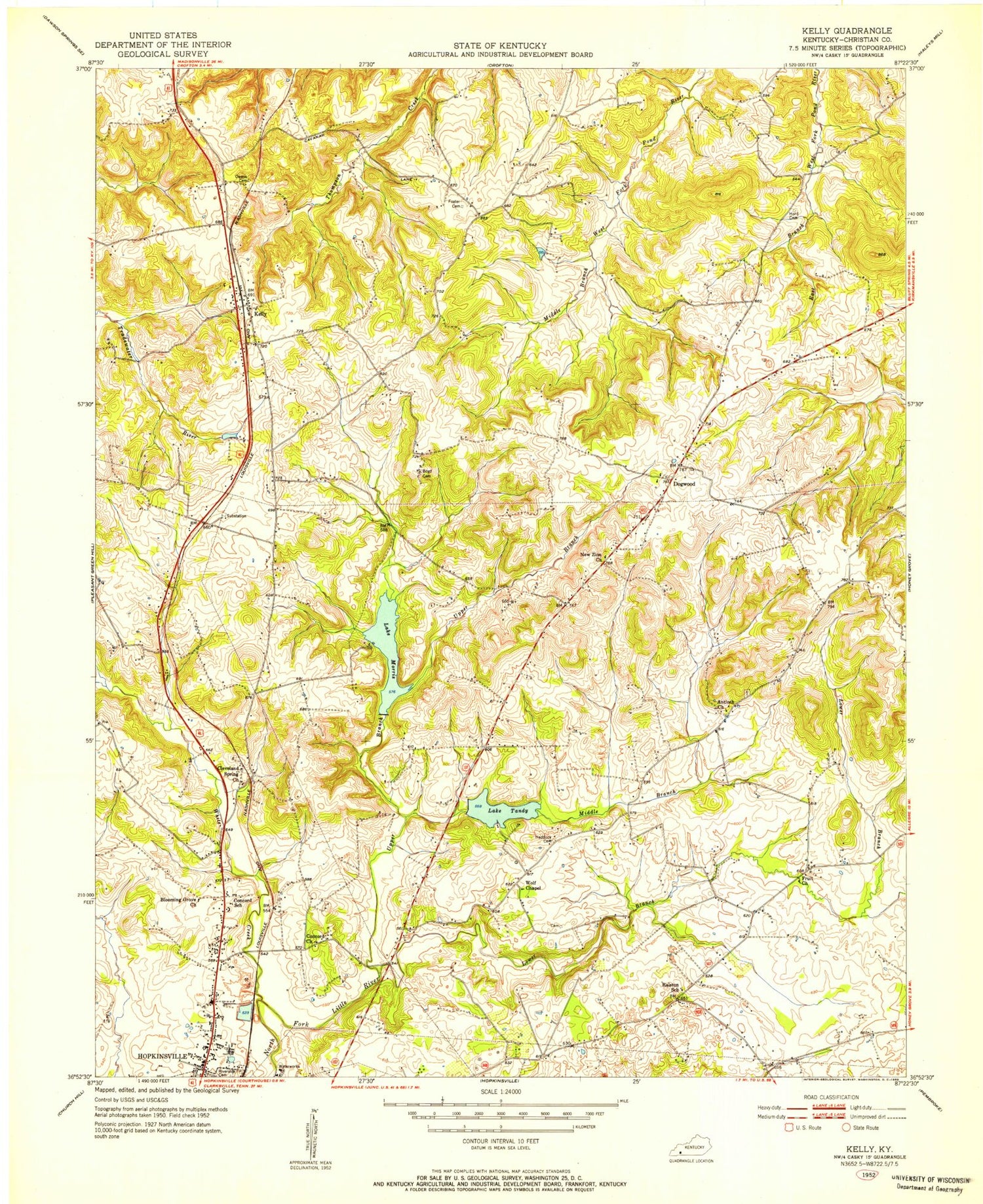
Classic USGS Kelly Kentucky 7.5'x7.5' Topo Map
Couldn't load pickup availability
Historical USGS topographic quad map of Kelly in the state of Kentucky. Map scale may vary for some years, but is generally around 1:24,000. Print size is approximately 24" x 27"
This quadrangle is in the following counties: Christian.
The map contains contour lines, roads, rivers, towns, and lakes. Printed on high-quality waterproof paper with UV fade-resistant inks, and shipped rolled.
Contains the following named places: Antioch, Antioch Church, Blooming Grove Church, Boyd Cemetery, Brigadier General James Streshly Jacksons Grave Historical Marker, Buntin Lake, Cavanaugh, Christian County, Christian Heights Church, Cleveland Spring Church, Concord Church, Dam Number 2, Dogwood, Edgar Cayce Historical Marker, Fruit Church, Haddock Cemetery, Hopkinsville Division, Kelly, Lake Boxley, Lake Morris, Lake Tandy, Lower Branch North Fork Little River, Middle Branch North Fork Little River, Nathan Bedford Forrest Historical Marker, Nathan Bedford Forrest in Hopkinsville Historical Marker, New Fangled Flying Machine Incorporated Airport, New Zion Church, Riverside Cemetery, University of Kentucky Community College, Upper Branch North Fork Little River, White Creek, ZIP Code: 42240


