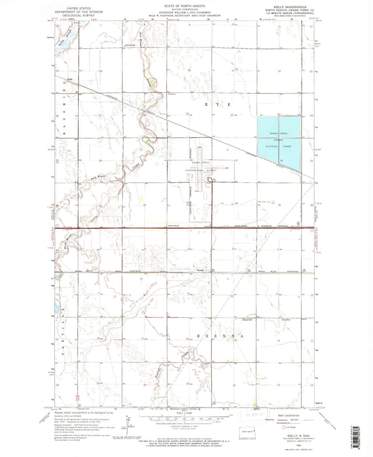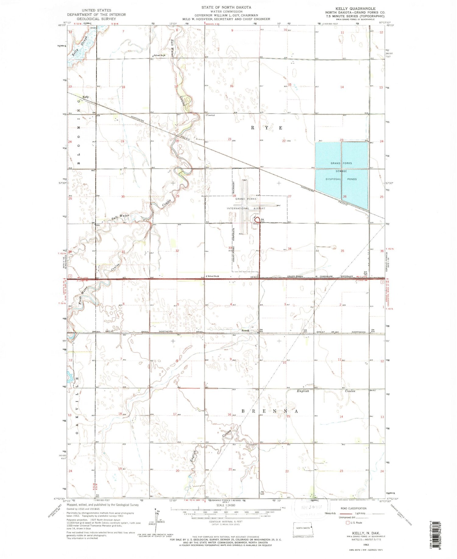
MyTopo
Classic USGS Kelly North Dakota 7.5'x7.5' Topo Map
Regular price
$16.95
Regular price
Sale price
$16.95
Unit price
per
Couldn't load pickup availability
Historical USGS topographic quad map of Kelly in the state of North Dakota. Map scale may vary for some years, but is generally around 1:24,000. Print size is approximately 24" x 27"
This quadrangle is in the following counties: Grand Forks.
The map contains contour lines, roads, rivers, towns, and lakes. Printed on high-quality waterproof paper with UV fade-resistant inks, and shipped rolled.
Contains the following named places: Brenna Town Hall, Fresh Water Coulee, Grand Forks International Airport, Grand Forks International Airport Fire Station, Grand Forks Sewage Disposal Ponds, Kelly, Powell, Rye Town Hall, School Number 25, School Number 30, Township of Brenna, Township of Rye, ZIP Code: 58203