
MyTopo
Classic USGS Kelso Junction Michigan 7.5'x7.5' Topo Map
Couldn't load pickup availability
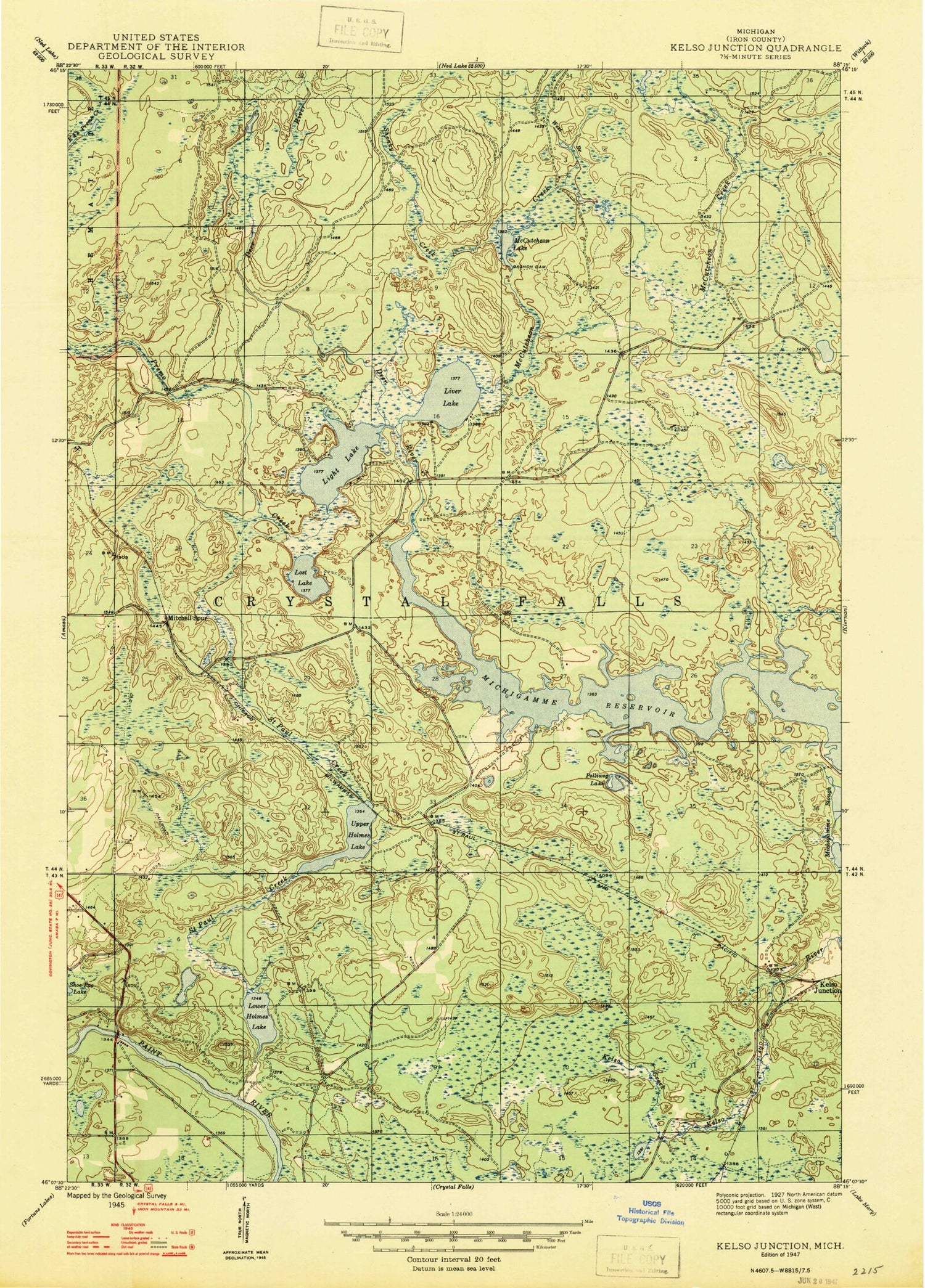
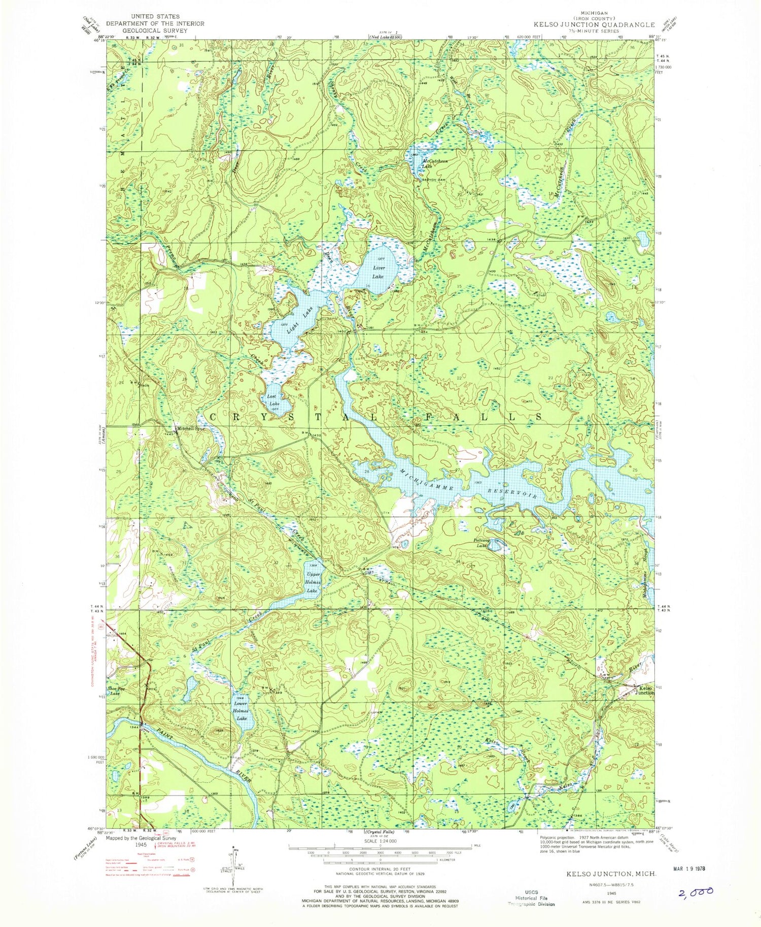
Historical USGS topographic quad map of Kelso Junction in the state of Michigan. Map scale may vary for some years, but is generally around 1:24,000. Print size is approximately 24" x 27"
This quadrangle is in the following counties: Iron.
The map contains contour lines, roads, rivers, towns, and lakes. Printed on high-quality waterproof paper with UV fade-resistant inks, and shipped rolled.
Contains the following named places: Deer River, Gagnon Dam, Kelso Creek, Kelso Junction, Kelso River, Light Lake, Liver Lake, Lost Lake, Lower Holmes Lake, McCutcheon Creek, McCutcheon Lake, Mitchell Spur, Polliwog Lake, Premo Creek, Saint Paul Creek, Shenky Creek, Township of Crystal Falls, Upper Holmes Lake, West Branch McCutcheon Creek, ZIP Code: 49920


