
MyTopo
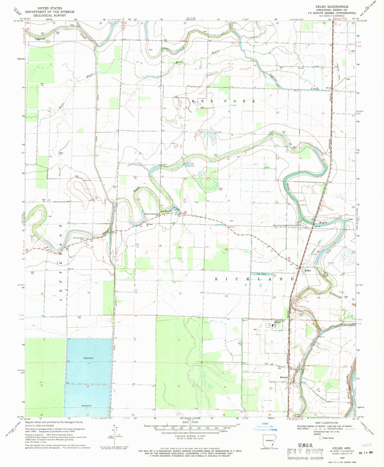
Classic USGS Kelso Arkansas 7.5'x7.5' Topo Map
Couldn't load pickup availability
Historical USGS topographic quad map of Kelso in the state of Arkansas. Map scale may vary for some years, but is generally around 1:24,000. Print size is approximately 24" x 27"
This quadrangle is in the following counties: Desha.
The map contains contour lines, roads, rivers, towns, and lakes. Printed on high-quality waterproof paper with UV fade-resistant inks, and shipped rolled.
Contains the following named places: Amos Bayou Church, Delta Elementary School, Delta High School, Desha Central High School, Desha County, Duce, Kelso, Kelso Cemetery, Kelso Rohwer Fire Department, Kurdo, Littles, Memorial Cemetery, Oak Grove Church, Richland Baptist Church, Rohwer, Rohwer Post Office, Rohwer Relocation Center Cemetery, Rohwer War Relocation Center, Rolling Water Cemetery, Saint Lake Church, Township of Richland, United Pentecostal Church, Zellner, ZIP Code: 71666


