MyTopo
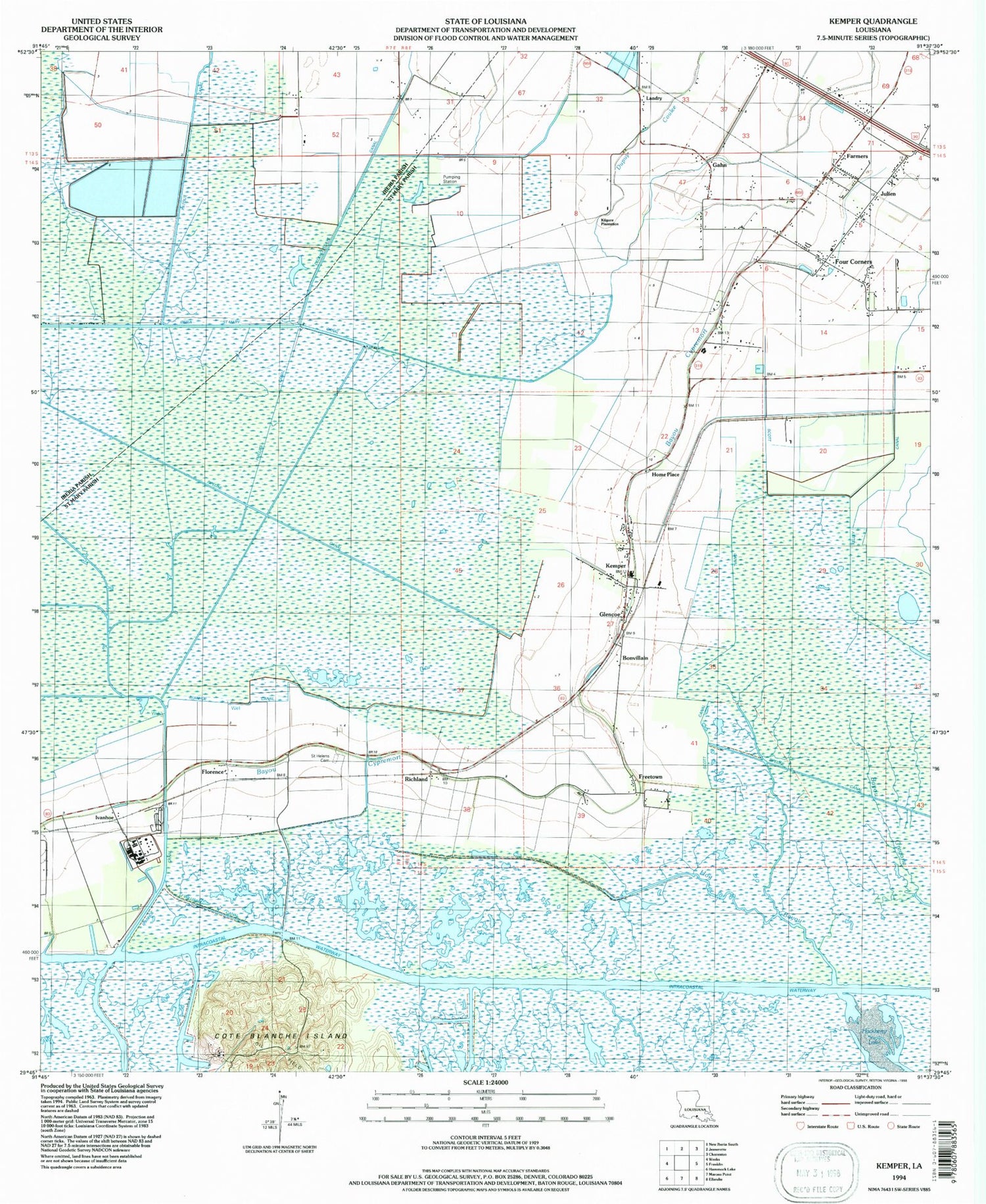
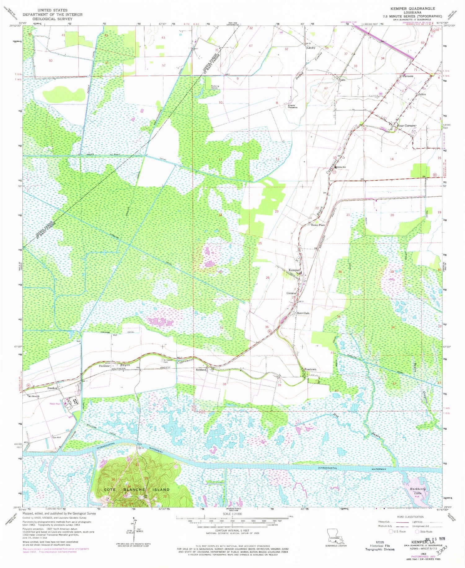
Classic USGS Kemper Louisiana 7.5'x7.5' Topo Map
Couldn't load pickup availability
Historical USGS topographic quad map of Kemper in the state of Louisiana. Map scale may vary for some years, but is generally around 1:24,000. Print size is approximately 24" x 27"
This quadrangle is in the following counties: Iberia, St. Mary.
The map contains contour lines, roads, rivers, towns, and lakes. Printed on high-quality waterproof paper with UV fade-resistant inks, and shipped rolled.
Contains the following named places: Achee, Bonvillain, Cote Blanche Island, Dupuy Coulee, Farmers, Florence, Four Corners, Freetown, Gahn, Glencoe, Glencoe Census Designated Place, Hog Bayou, Home Place, Iberia-Saint Mary Canal, Ivanhoe, Ivanhoe Canal, Julien, Kelley Canal, Kemper, Kilgore Plantation, Landry, Mount Olive Church, Parish Governing Authority District 1, Parish Governing Authority District 12, Patout Canal, Phillips Canal, Richland, Saint Helens Cemetery, Saint Mary Parish Volunteer Fire Department Central Station / Four Corners Community Station 1, Saint Mary Parish Volunteer Fire Department Glencoe Community Substation 3, Saint Peter the Apostle Church, Scott Canal, Thomas Gibbs Elementary School, United, Virgil Browne Glencoe Charter School, Ward Seven, Ward Two, Williams Canal


