MyTopo
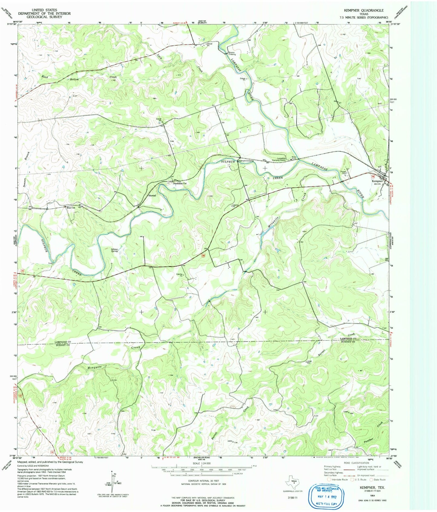
Classic USGS Kempner Texas 7.5'x7.5' Topo Map
Couldn't load pickup availability
Historical USGS topographic quad map of Kempner in the state of Texas. Map scale may vary for some years, but is generally around 1:24,000. Print size is approximately 24" x 27"
This quadrangle is in the following counties: Burnet, Lampasas.
The map contains contour lines, roads, rivers, towns, and lakes. Printed on high-quality waterproof paper with UV fade-resistant inks, and shipped rolled.
Contains the following named places: Adams Spring, Alexander Family Cemetery, Blue Cut, Brooks Crossing, Deadmans Cut, Denson Branch, Hallmark Crossing, Kempner, Kempner City Hall, Kempner Post Office, Kempner Volunteer Fire Department, King's Ranch Airport, Lampasas Pumping Station, Lucy Creek, Mesquite Creek, Pickett Cemetery, Road Hollow Creek, Shortall, Sulphur Creek, ZIP Code: 76539