
MyTopo
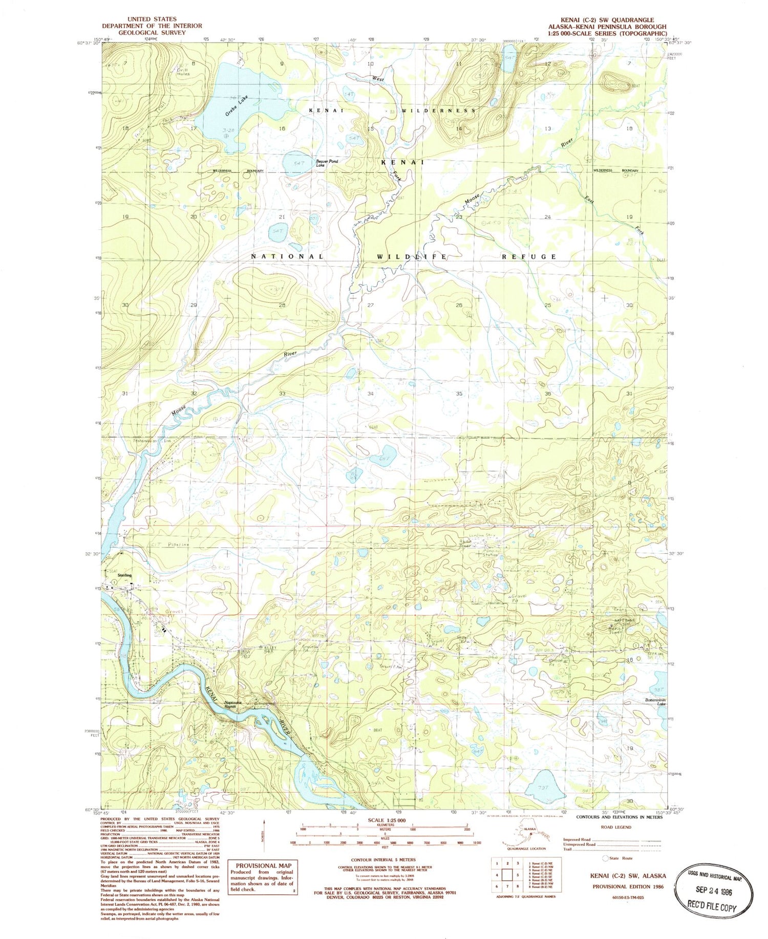
Classic USGS Kenai C-2 SW Alaska 7.5'x7.5' Topo Map
Couldn't load pickup availability
Historical USGS topographic quad map of Kenai C-2 SW in the state of Alaska. Map scale may vary for some years, but is generally around 1:24,000. Print size is approximately 24" x 27"
This quadrangle is in the following counties: Kenai Peninsula.
The map contains contour lines, roads, rivers, towns, and lakes. Printed on high-quality waterproof paper with UV fade-resistant inks, and shipped rolled.
Contains the following named places: Alaska Airpark, Beaver Pond Lake, Breeden Airport, Central Emergency Services Station 5 Funny River, East Fork Moose Creek, Grebe Lake, Kenai River Airpark, Kenaitze Alaska Native Village Statistical Area, Naptowne, Naptowne Rapids, Pedersen Dam, Sterling Post Office, West Fork Moose River


